
Victoria Hike, South San Juan Wilderness, Colorado.
Free downloadable topo maps of the Victoria Lake Hike
Printed maps are also available for purchase.
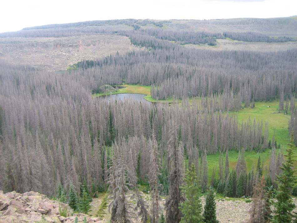
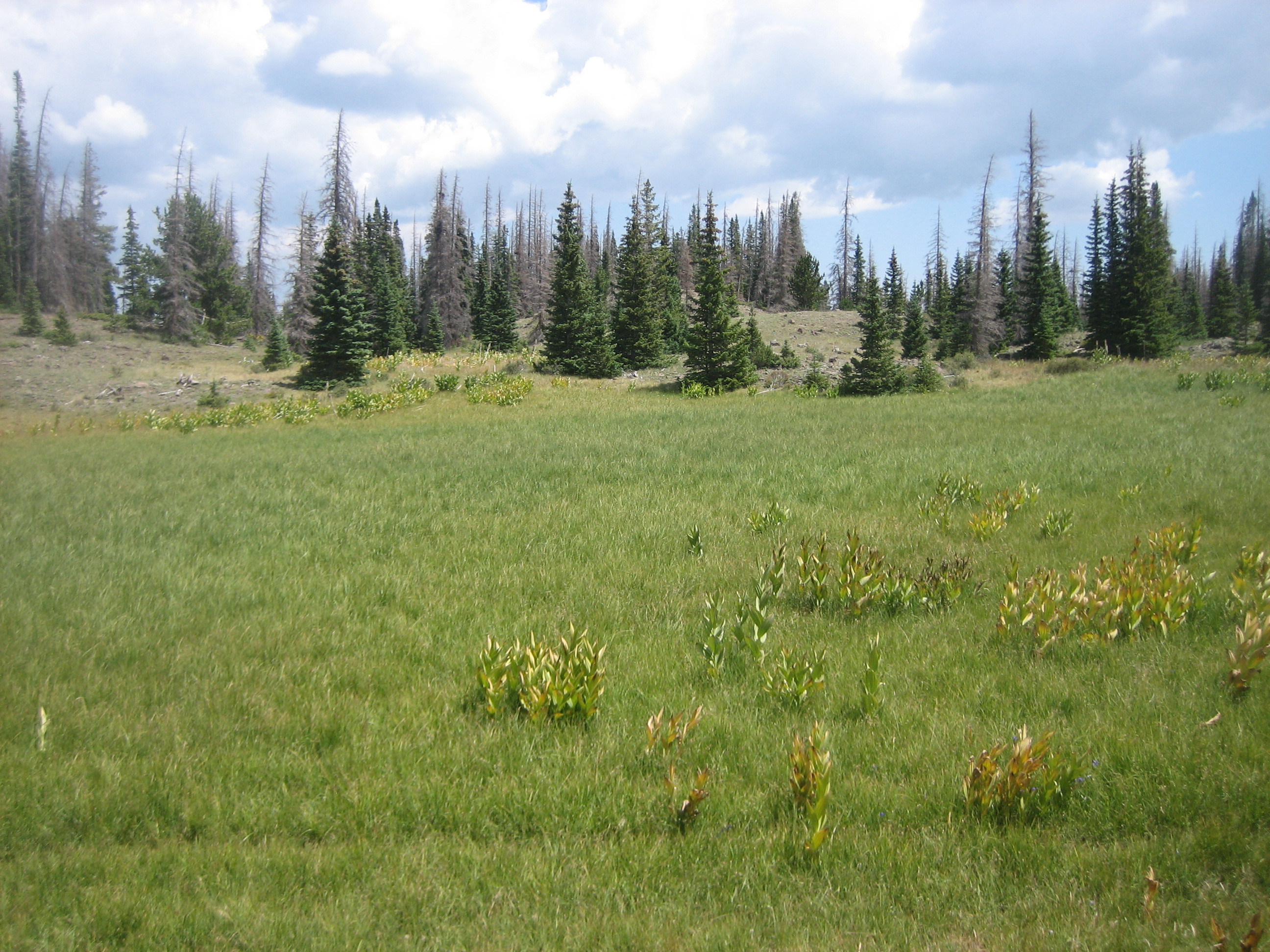
This was my fourth trip to the South San Juans. The first two were just a couple nights on long weekends and the third a week. This was 5 days and 4 nights, coming in at the Ruybalid Trailhead on FR250. While it was a fun trip, I didn't find it as scenic as the previous hikes, in part because we weren't in the alpine as much but mostly because of the beetle blight. Sad to say, the blight has also affected the trees of the areas of the other hikes. However, because there are no trees in the alpine and because some of the smaller groves are buffered by the alpine, it may not be as severe.
Click here for Conejos Peak Loop page.
Click here for Blue Lake Loop page.
Click here for Fish Lake Hike page.
Click here for South San Juan Wilderness page.
The Maps: The free full size version of the map is available on this page as a downloadable jpg. At this time I don't have the 11x17 printed maps on "Rite in the Rain” all weather writing paper. If you are interested in a set, emailing Charlie at cew5151@gmail.com and I'll make one. The map is nominal 1:24,000 based on USGS 7.5 minute quadrangle topographic maps. The hike is shown in red and is based on the GPS track taken on the hike and corrected using Google Earth. The trails in blue and purple are other trails in the area. The purple trail is the Continental Divide Trail. Green depicts unmaintained trials such as to the top of Conejos Peak. The green and black line is the wilderness boundary. The forest roads are in black and based on aerial and satellite imagery. Check with the Forest Service to make sure the minor or more remote roads are passable with your vehicle. Although camping is at large, selected established camp sites are green “^”.
Trip Mileage Table: Click here for trip mileage table.
GPS Track: Right click this link and Save Link As to download the tracks in a gpx format. Save it to your computer and use your GPS software to load it to your GPS.
Google Earth Track: Right click this link and Save Link As to download the track in the Google Earth kml format. Save it to your computer, and open it in Google Earth and trace the route in interactive 3D.
The Hike. This was a 5 day, four night, 40 mile loop in the South San Juan Wilderness of southern Colorado. It begins at the Ruybalid Trailhead on Forest Road 250. FR 250 can be reached from Highway 17 west of Antonito CO.
Before we get into the hike, a little more about the blight. It not pine beetle, it is spruce beetle (Dendroctonus rufipennis). It has affected over 600,000 acres of the Rio Grande National Forest, where the South San Juan Wilderness resides. The target species are high elevation Engelmann spruce and, to the extent they are present, Colorado blue spruce. As Engelmann is the dominant species in the wilderness, the impact is severe. The best way to find it more acceptable is to look at the forest like a deciduous forest in the winter. No leaves.
The good news is the beetle attacks the mature spruce trees and not the young spruce or sub-alpine firs. It will take a while for the dead trees to fall and the forest department will have a challenge keeping the trail open. Hikers will need to stay alert for falling trees both on the trail and where they camp. But long term, the wilderness forest will return.
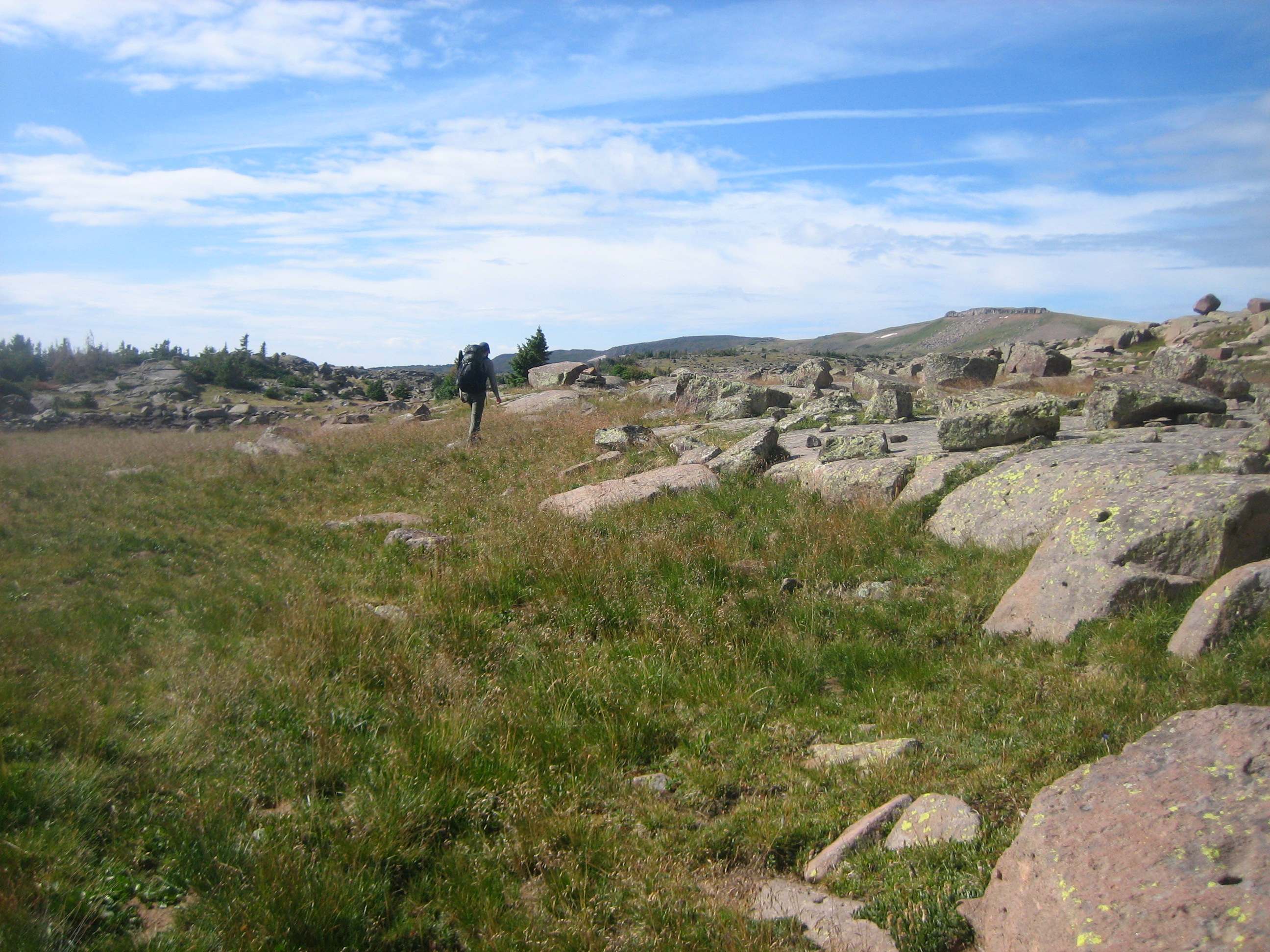
Back to the hike. There was not a large parking lot at the trailhead but plenty of places to pull a car off the trailhead road. The Ruybalid Trail, 855, heads east and begins its ascent from 8,840 feet elevation. The are many switch backs on the climb to the mesa. The first is at 0.8 miles and the climb is almost 500 feet. But there is much more to come. In fact, it is 2,200 feet to the rim over 3.7 miles.
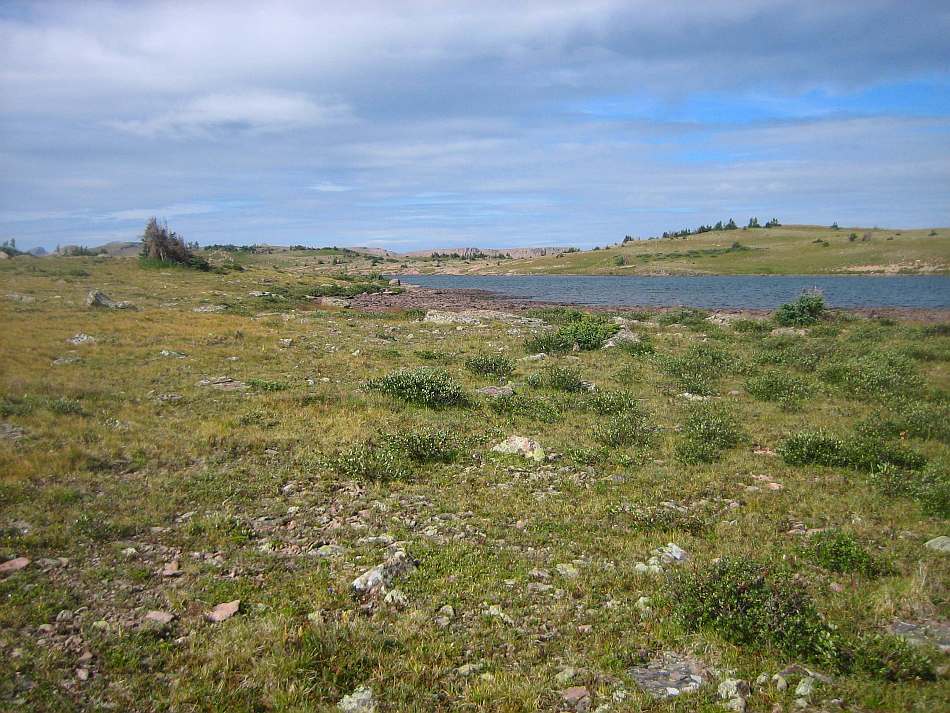
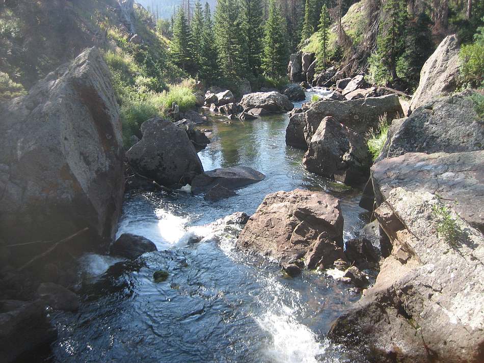
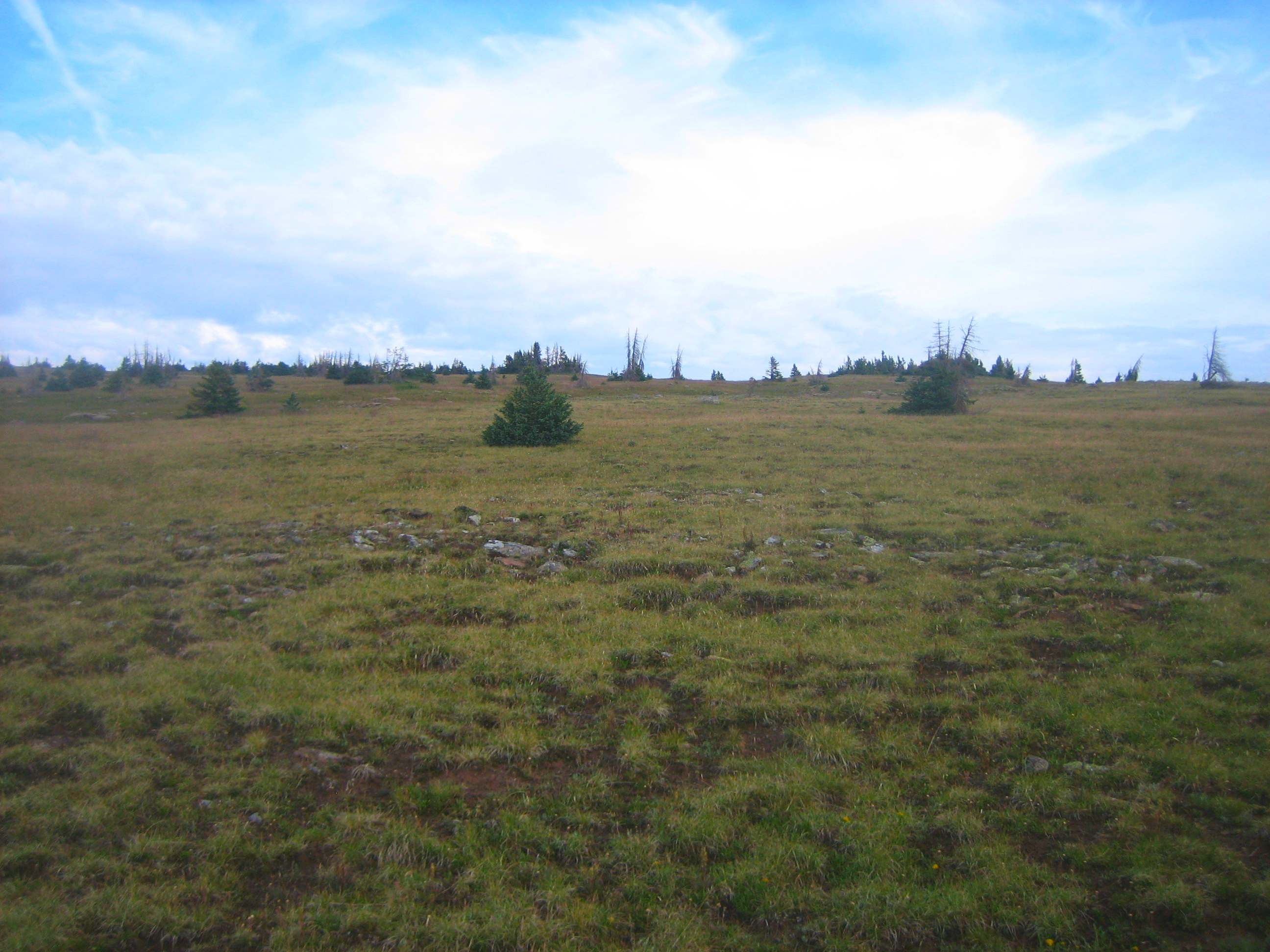
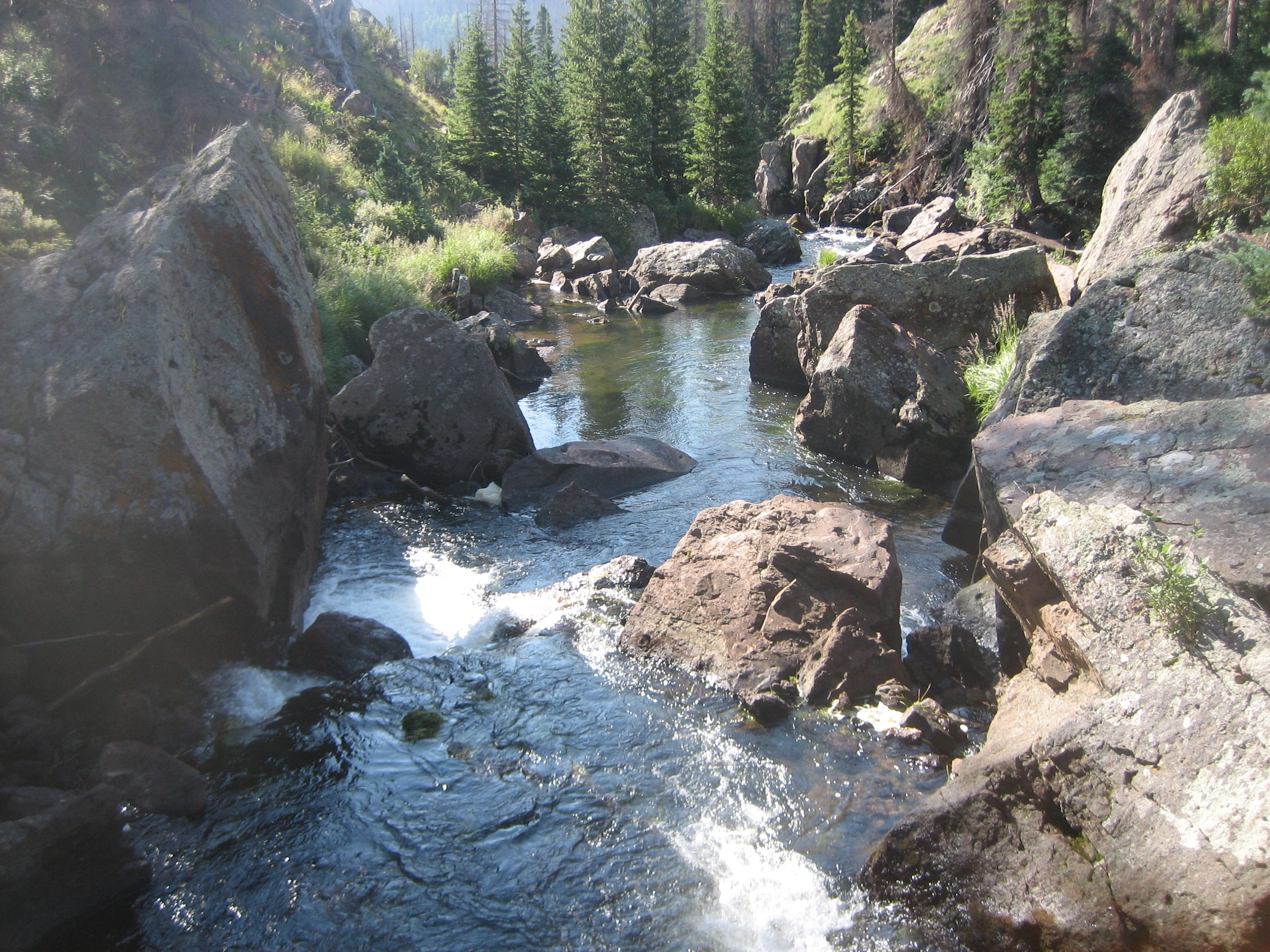
At the top is the junction of the Ruybalid Trail (855) and the No Name Lake Trail (728). We took 855 the 1.2 miles to Ruybalid Lake. There was a good campsite on the east side of the lake. Looking at the picture you can see the affects of the spruce beetle.
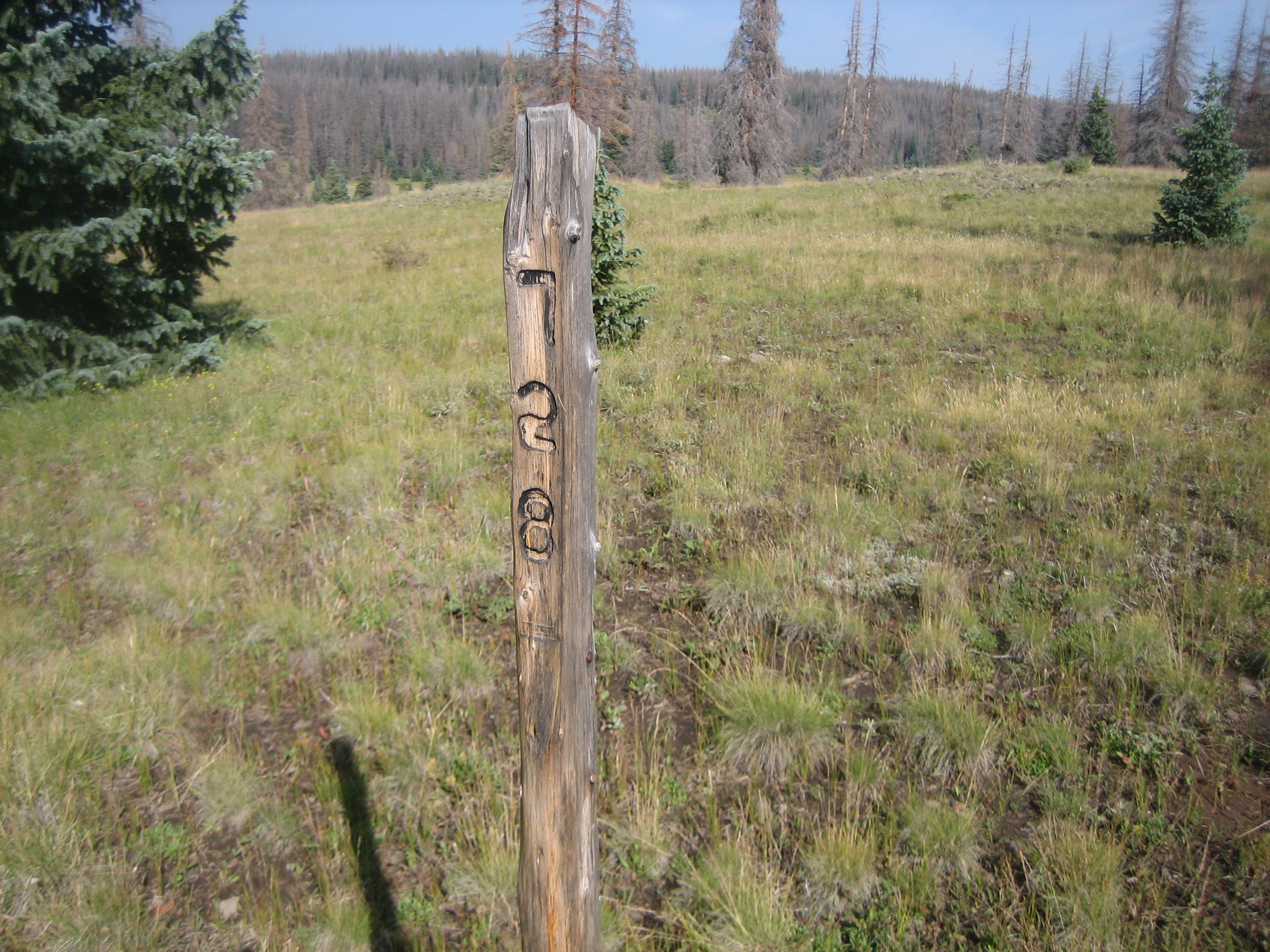
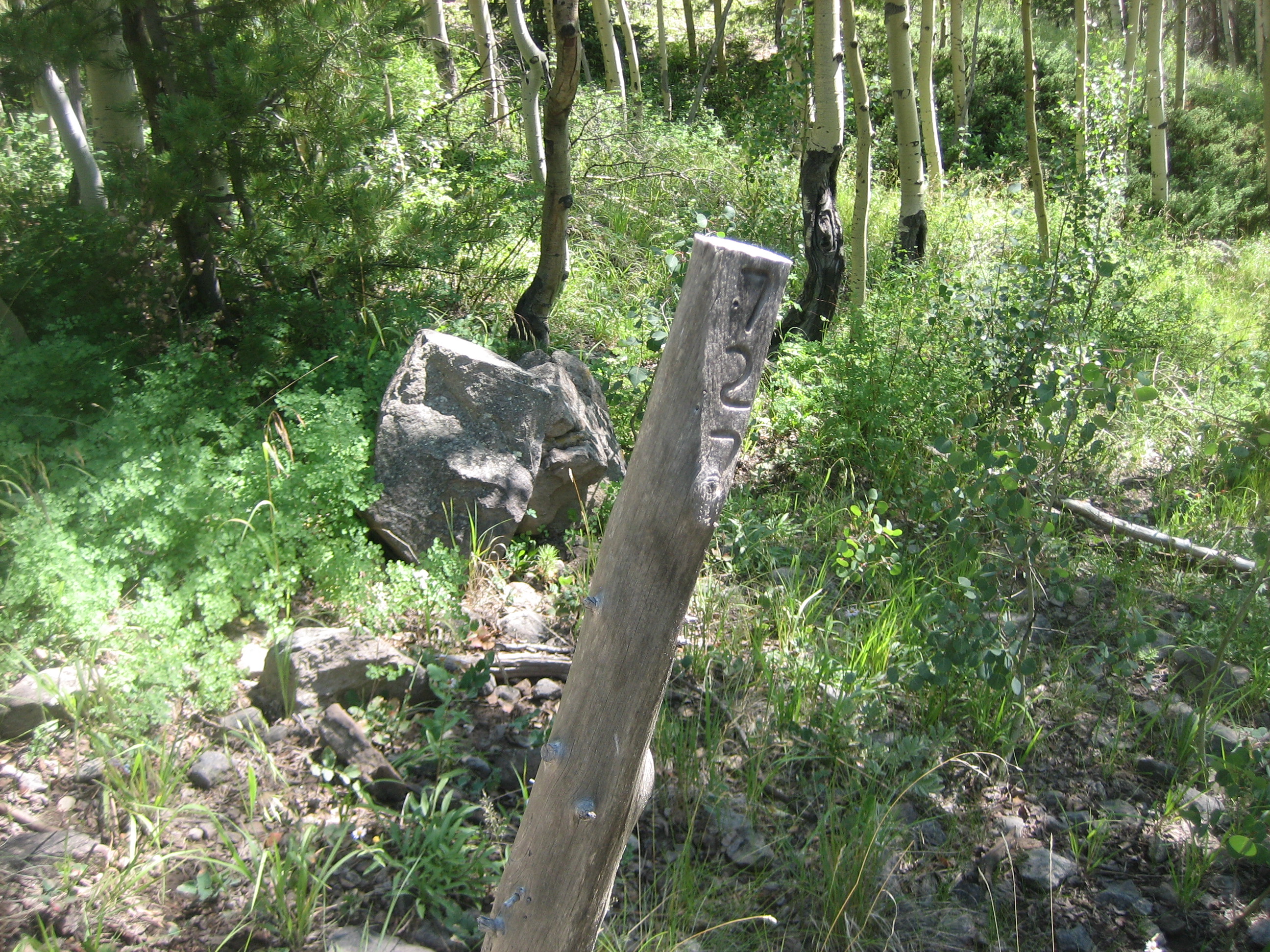
The old topos showed the Ruybalid Trail continuing south of the lake and southwest to the No Name Trail. It is there but intermittent. Bottom line is if you lose the trail but continue southwest, you will intersect the No Name. It is also fairly open so stay in the meadows. When you reach the obvious north-south trail, it is No Name (728). Go South. Watch for posts with the trail numbers to confirm you are on the right trail.
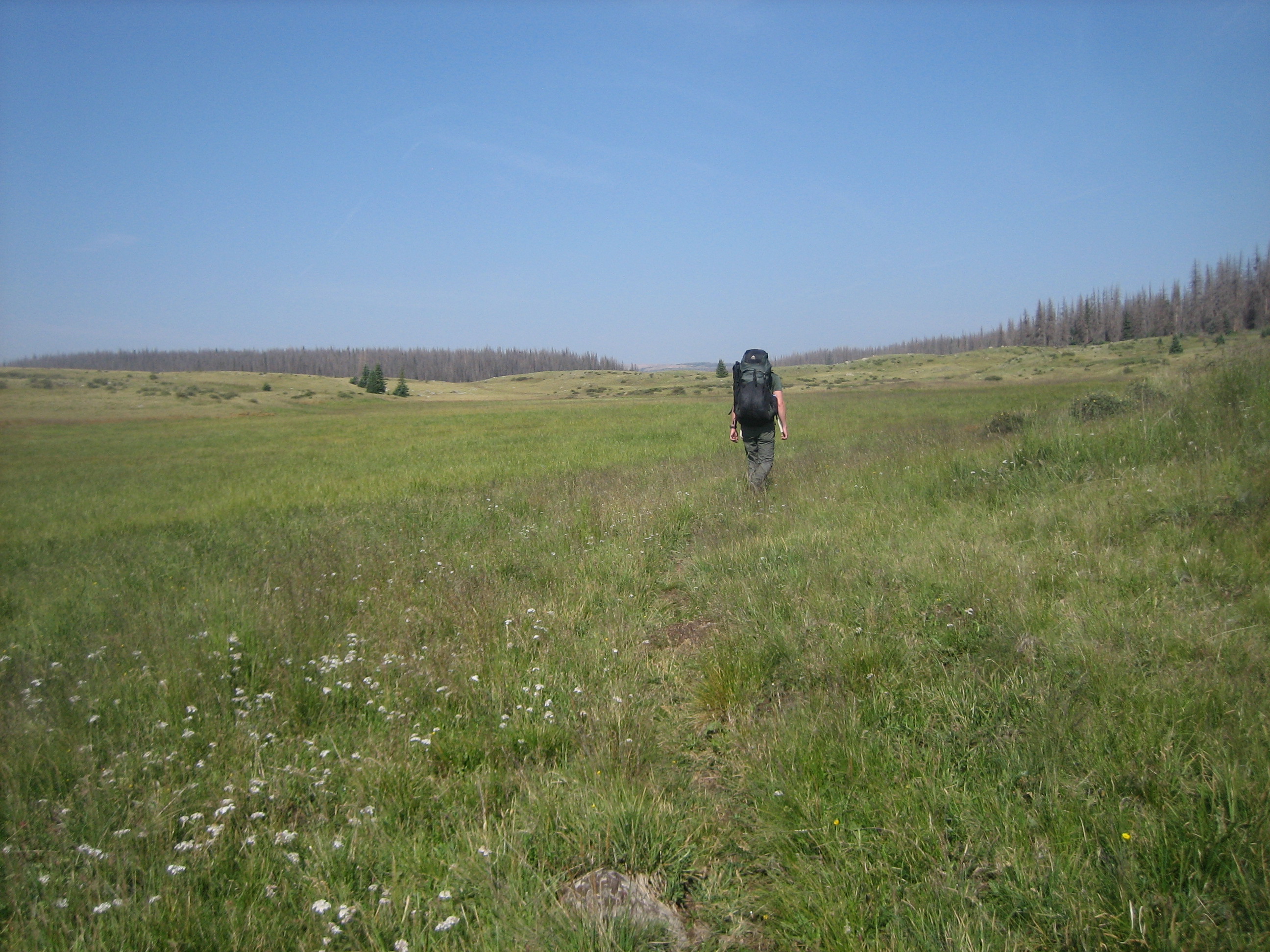
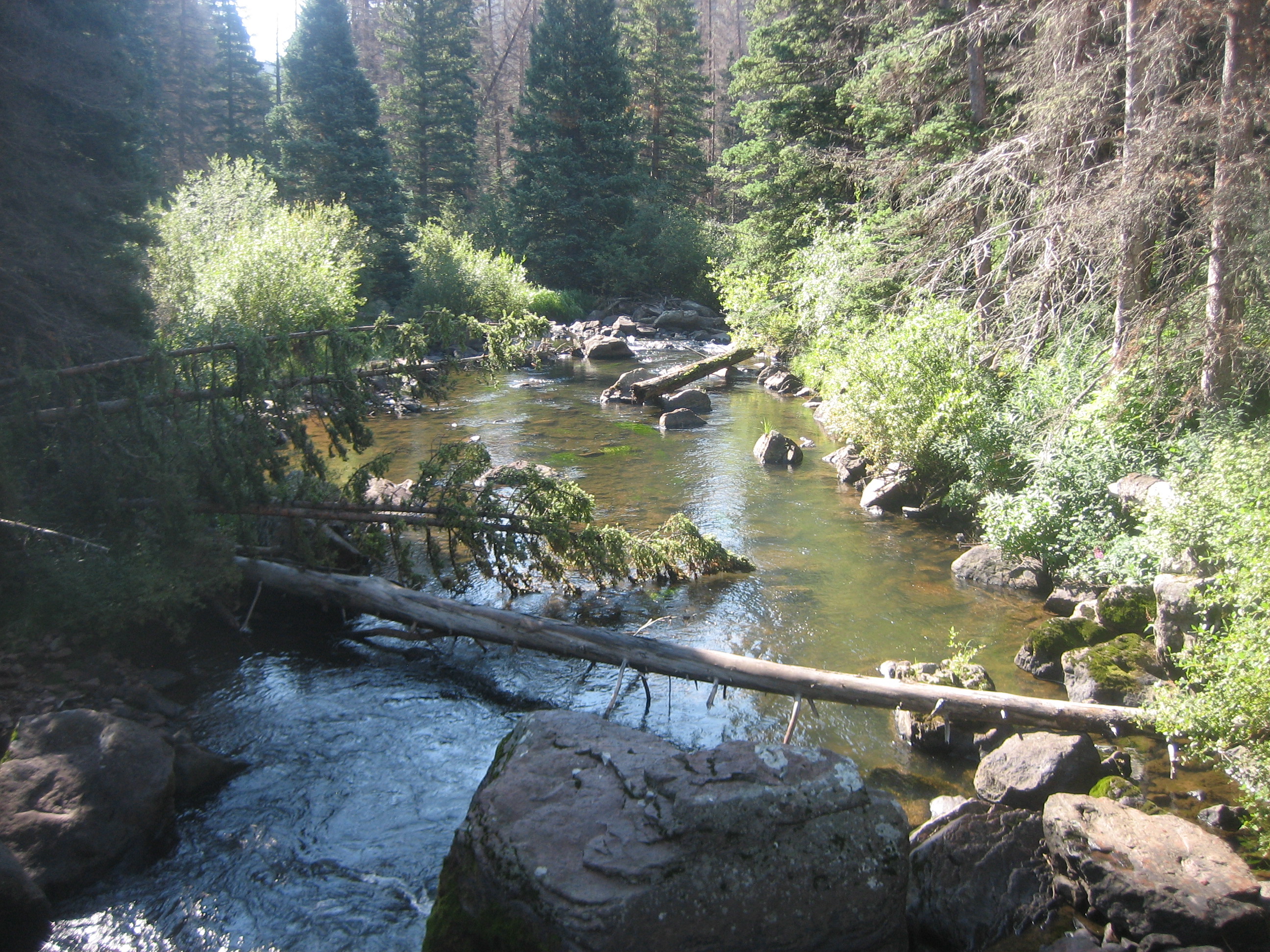
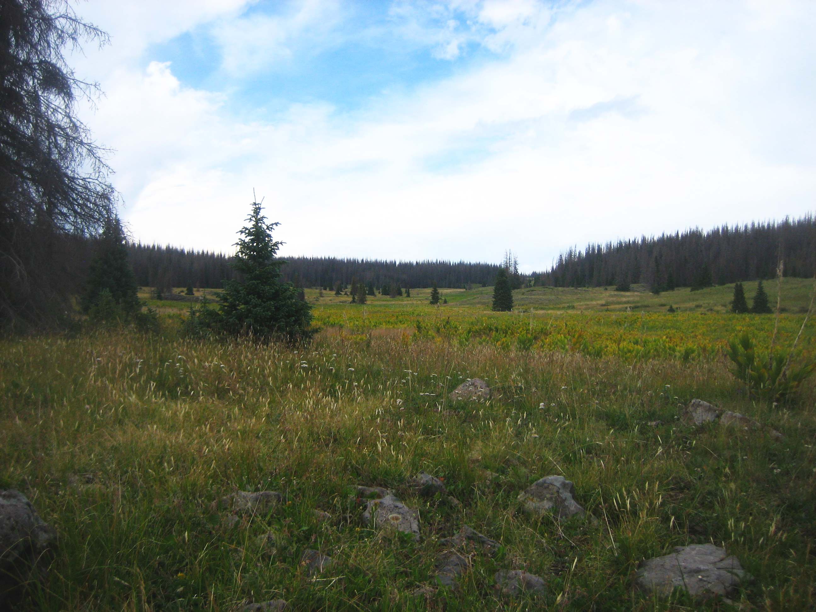
We intersected 728 about a half mile north of the junction of 728 and 727.1, the Alverjones Trail. At the junction we turned west and hiked mostly to through meadows to Alverjones Lake (video). Heading east, trail 727.1 becomes 775, the Victoria Lake Trail. In about 1.8 miles the trail meets Victoria Lake and turns south. The trail across the meadows can sometimes be confusing. There are lots of stray and intermittent paths. Just stay up by the tree line to your east. Victoria Lake is not very deep and accessing it for clear water is difficult. The gently sloping meadow goes down to the edge of the water and there are no rocks or logs to help reach deeper water.
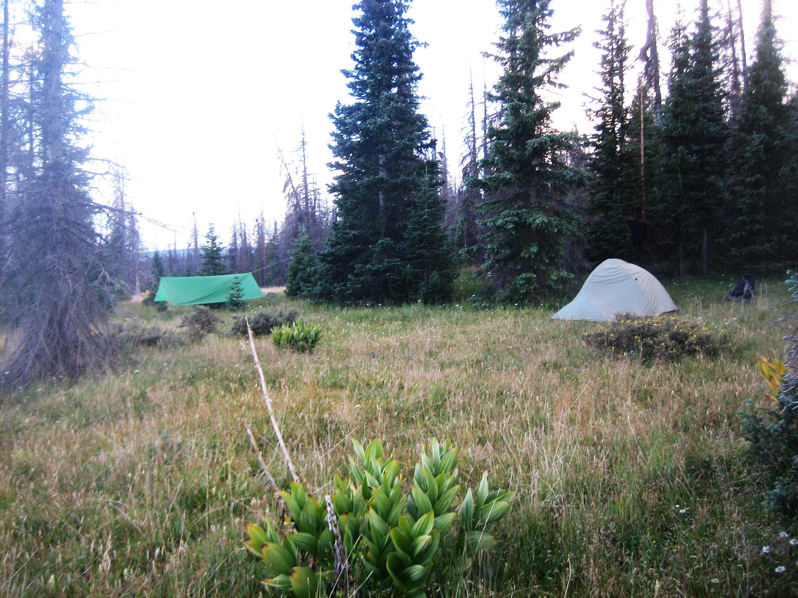
Trail 775 goes south following the tree line then hooks to the east where it intersects the Valle Victoria Trail (727). Turn right back to the southwest. Cross the small creek in the middle of the meadow which may be dry or muddy depending on the weather. The trail enters the forest and comes out about a half mile later and you are back to the meadows. It is about 0.7 miles to Laguna Venada. The trail stays above it and climbs a couple hundred feet up a bench. We were looking for a place to camp and went down to the lake (video) and found a nice spot in the trees. Getting water from the lake was like Victoria Lake. However, the small creek in the meadow above the lake was flowing nicely from all the rain we have been getting.
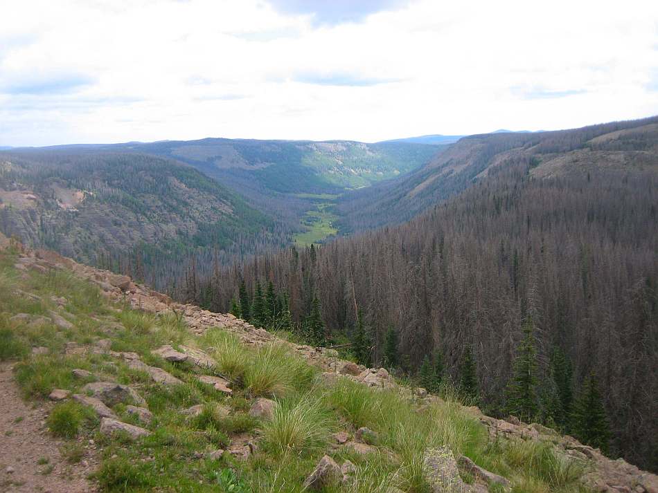
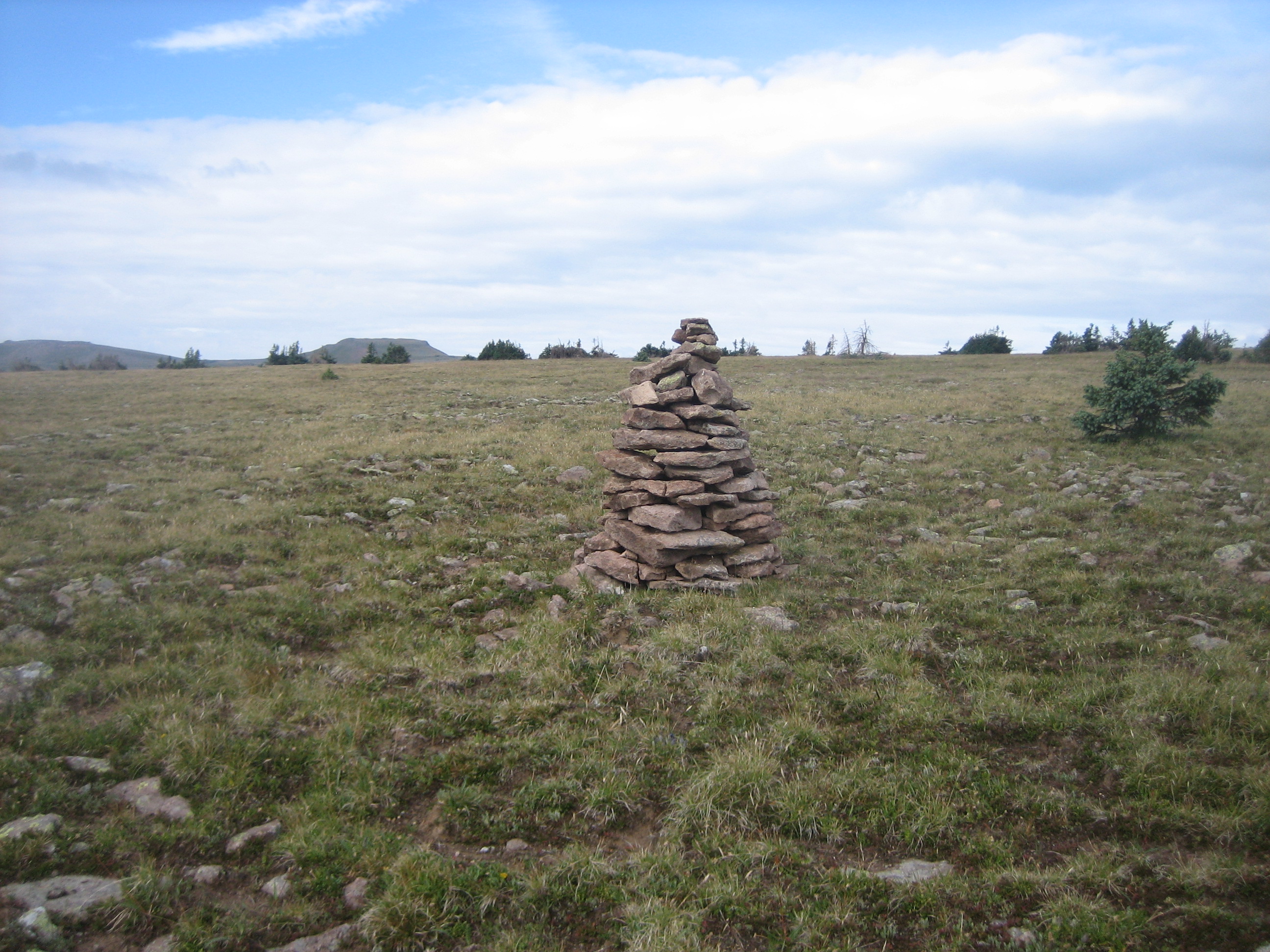
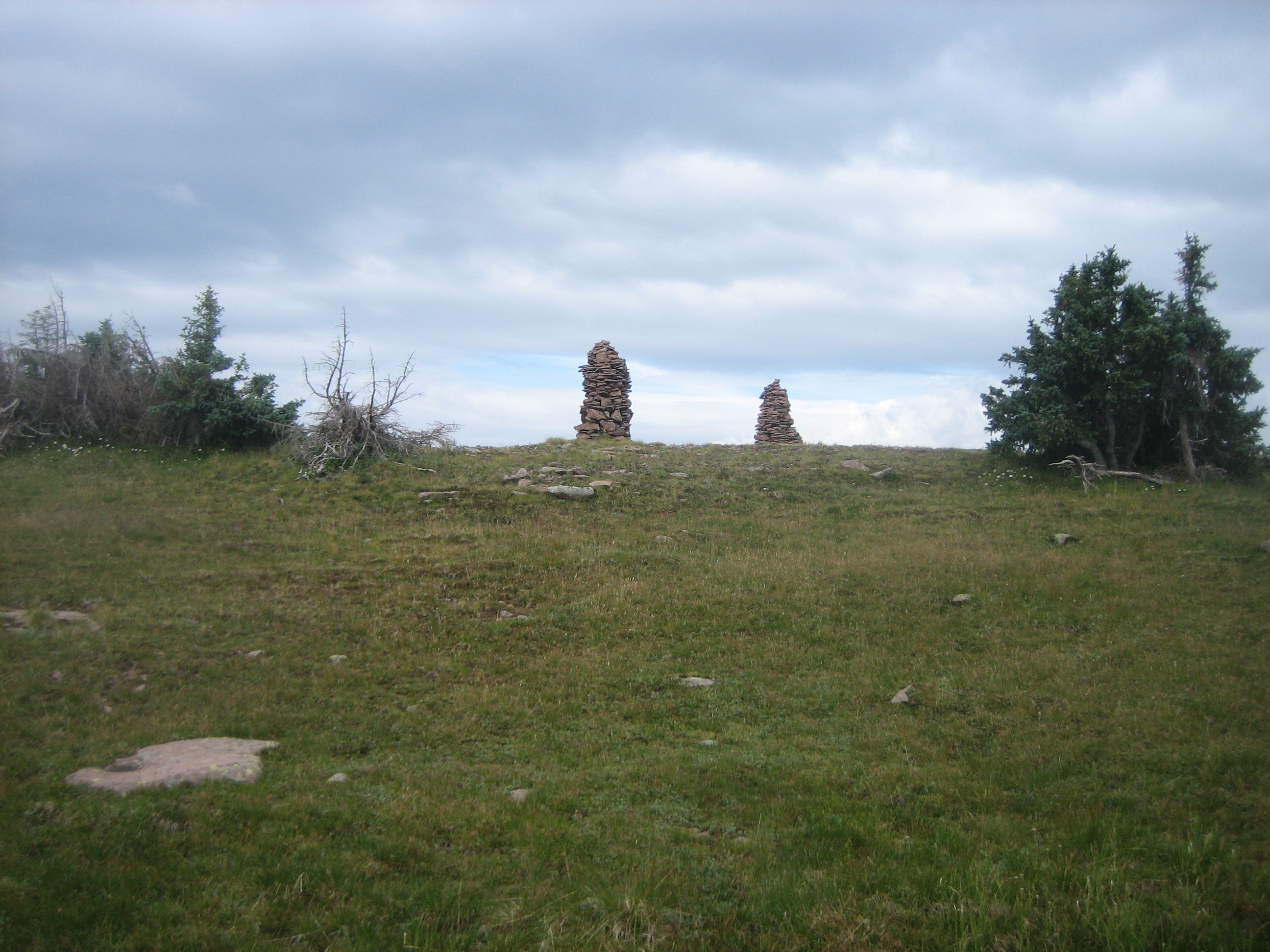
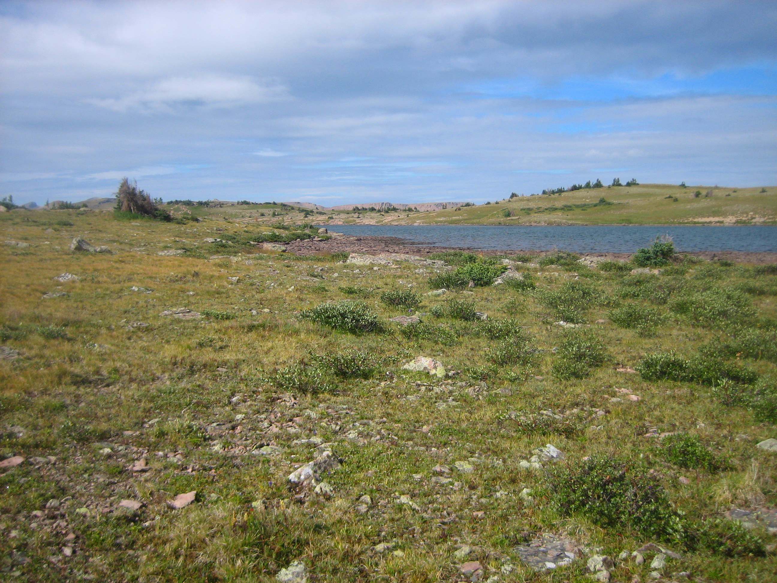
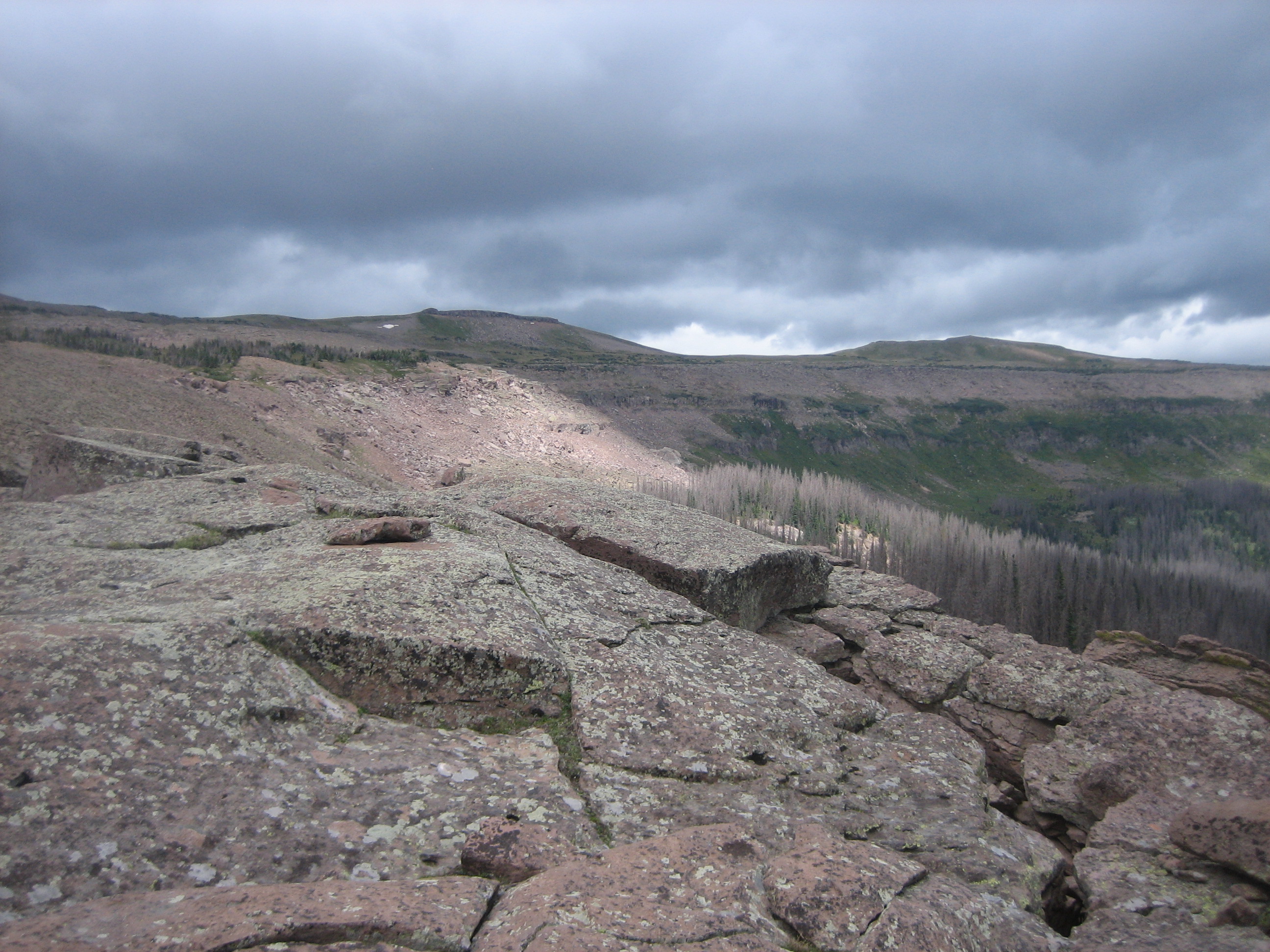
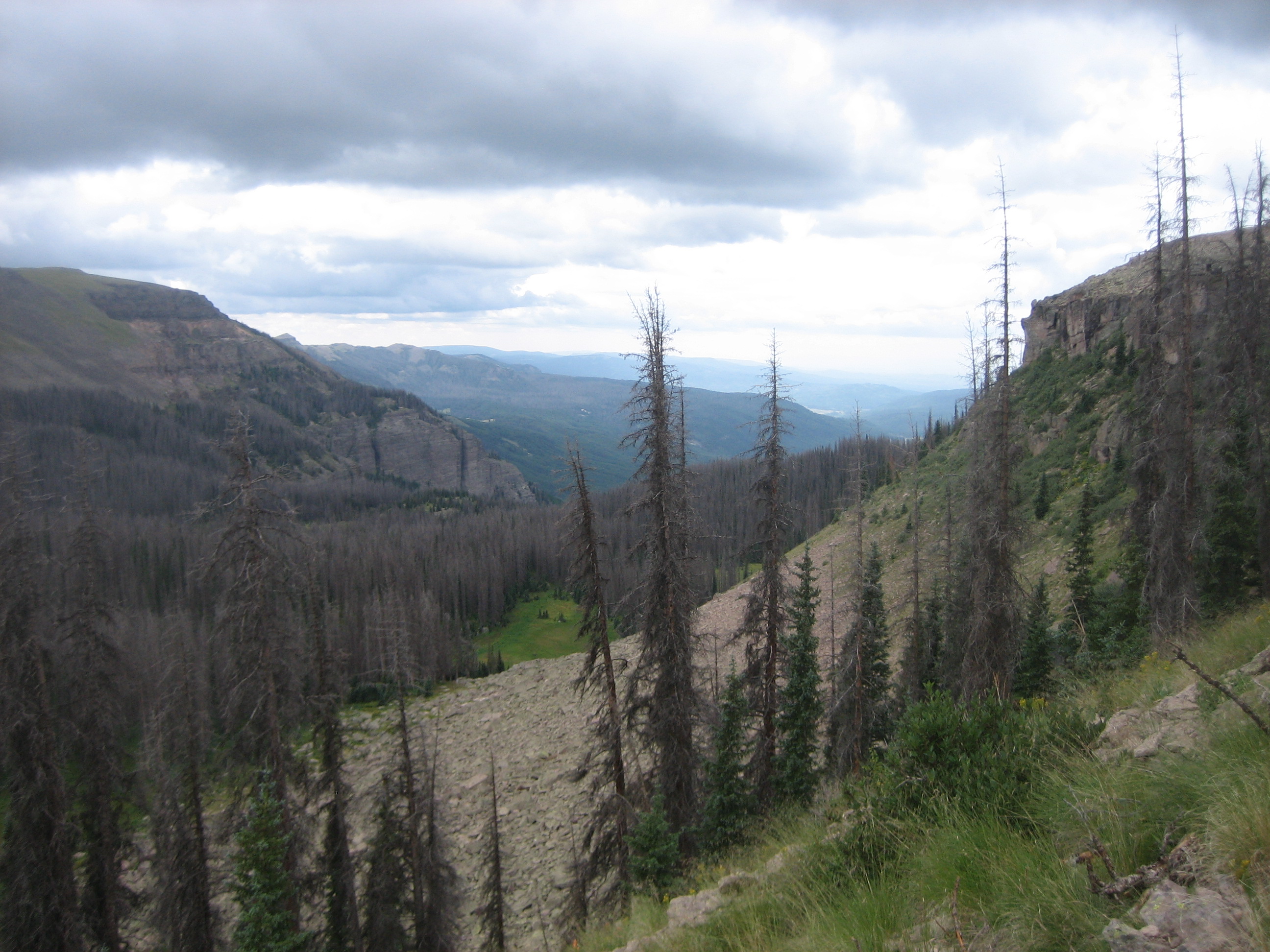
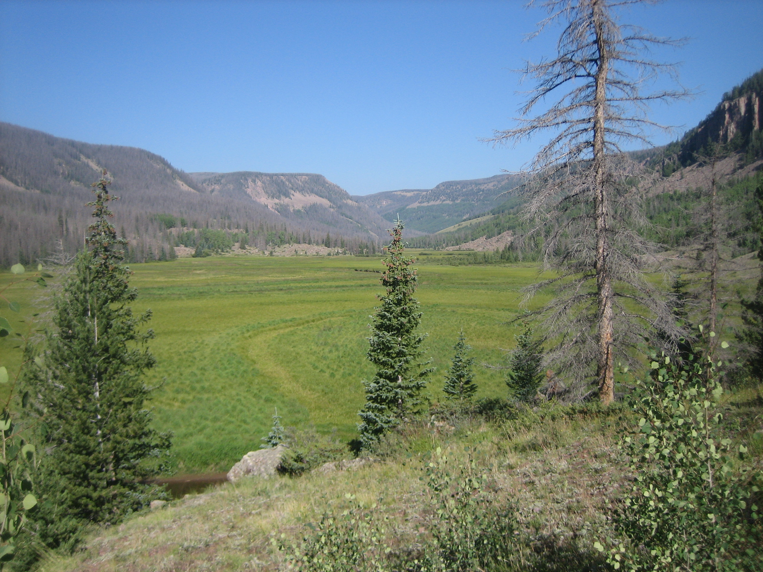
On day 3 we hiked 2.2 miles up 600 feet of tundra to the CDT. The tread of the trail is sketchy in places but there are some large cairns to help navigate. The CDT is announced by twin cairns and Trail Lake. Hiking south we got some good views of Elk Creek Valley to the east and the curve of the upper valley wall. When we got in view of Dipping Lakes (video), we began the descent to Elk Creek.
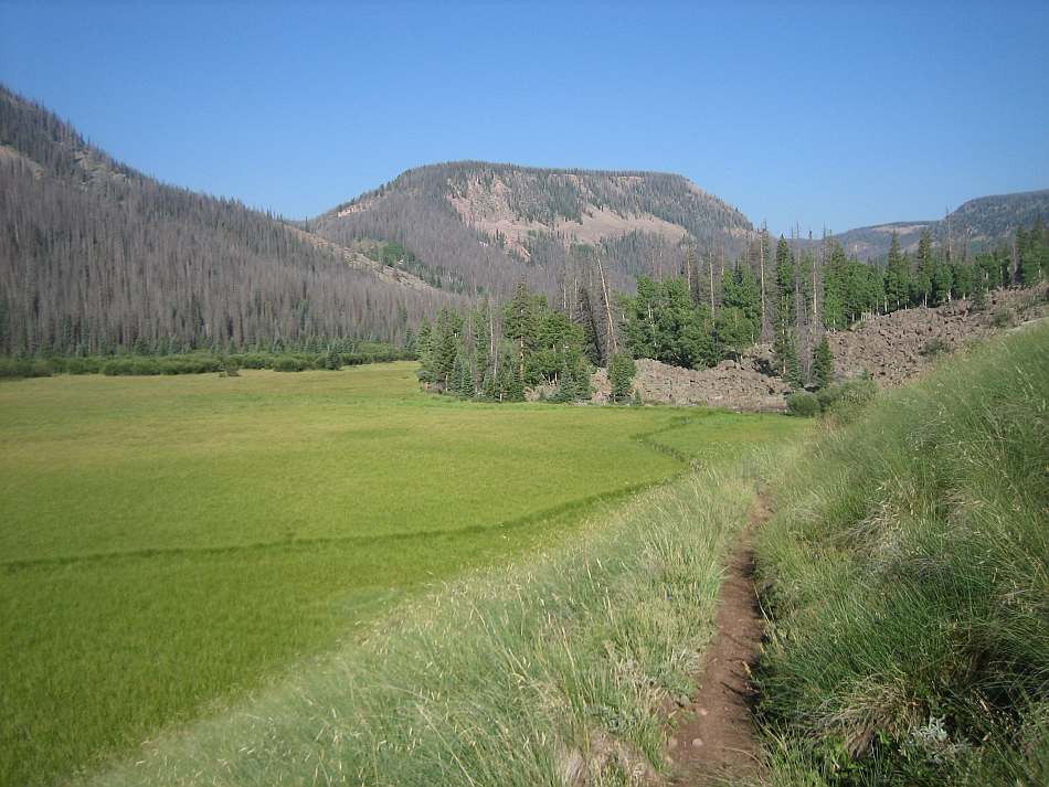
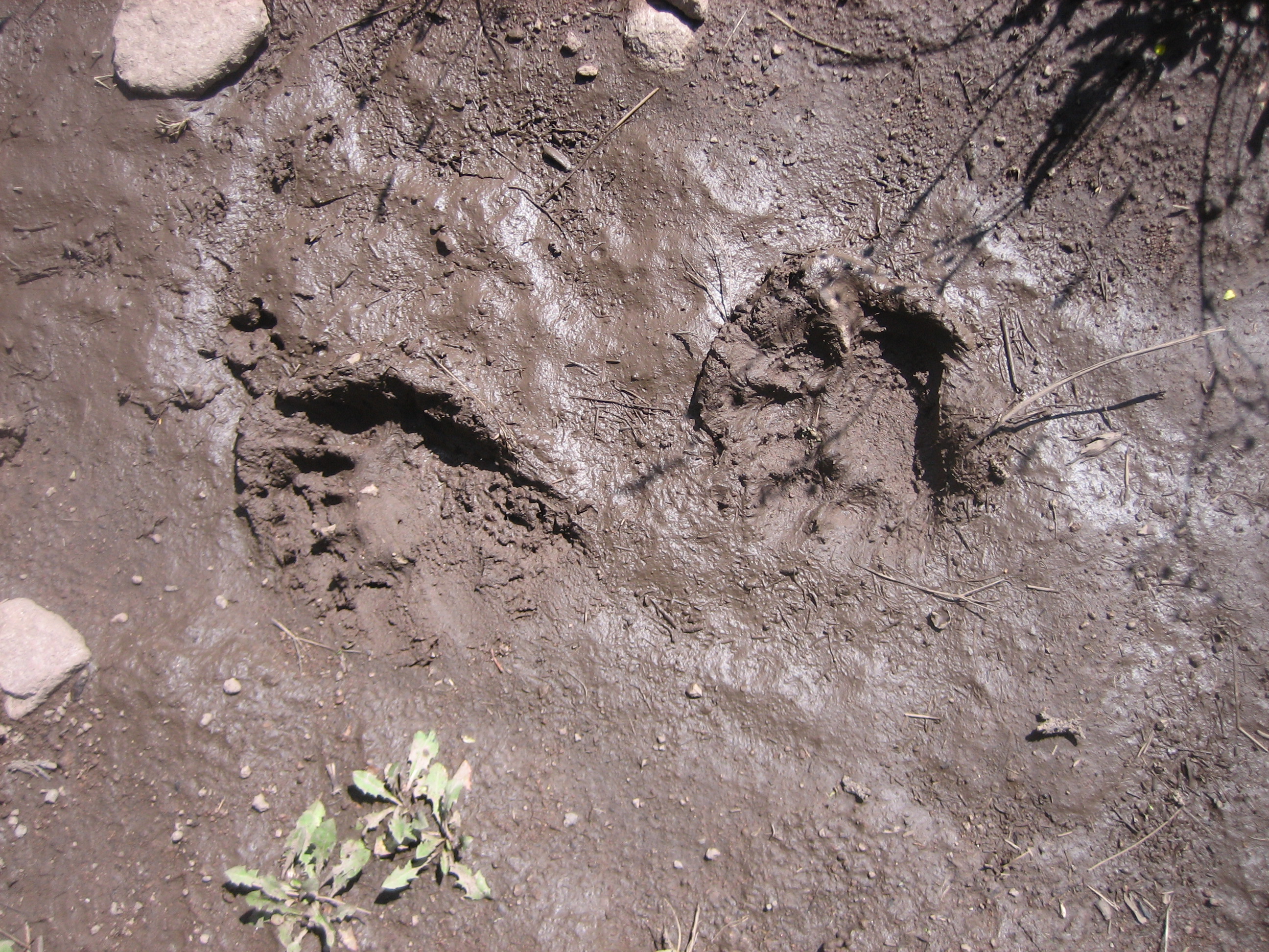
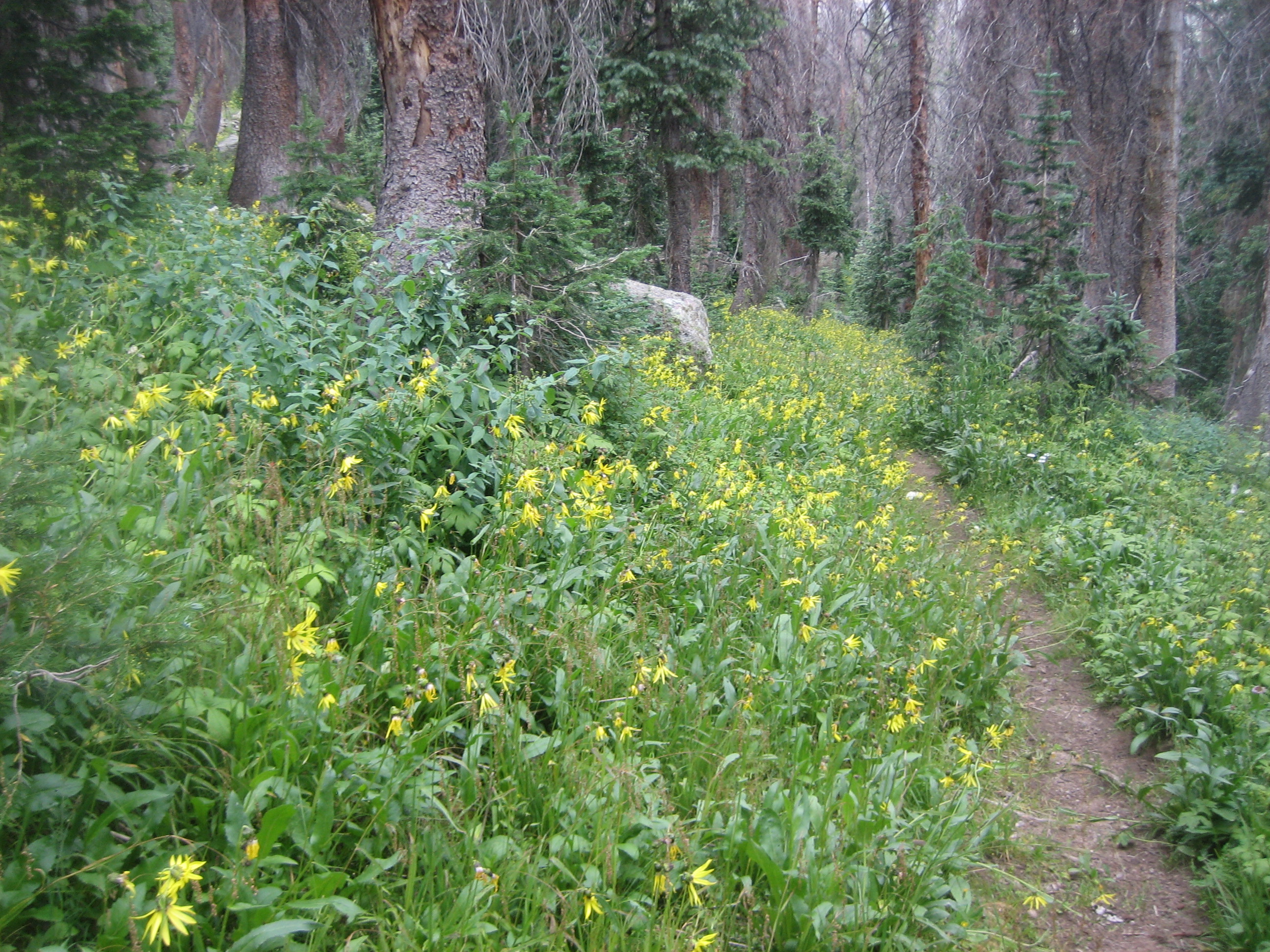
The descent is through a forested slope that featured an outcrop of a conglomerate, bear prints and lots of woodland flowers. The valley floor was a broad lush meadow. It is likely that the entire meadow was one or more lakes that filled in over time. We hiked about half way down the Second Meadow and made our third camp.
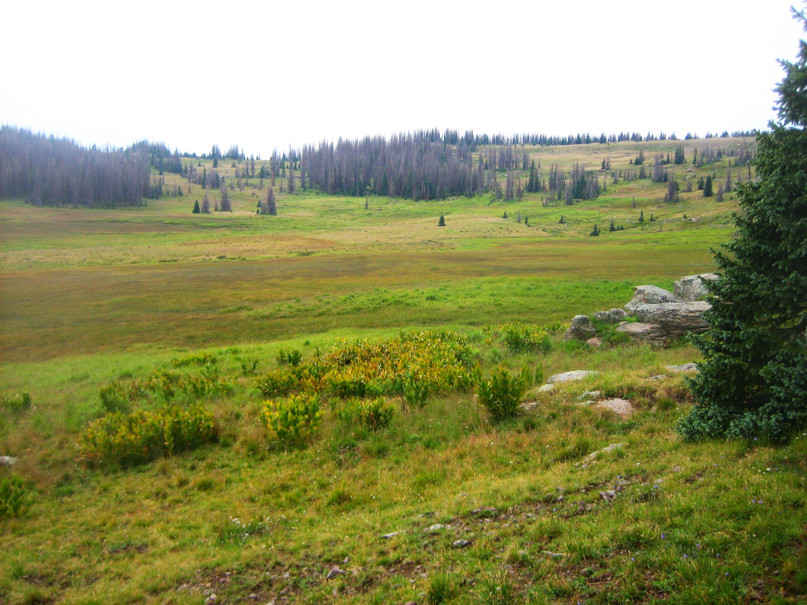
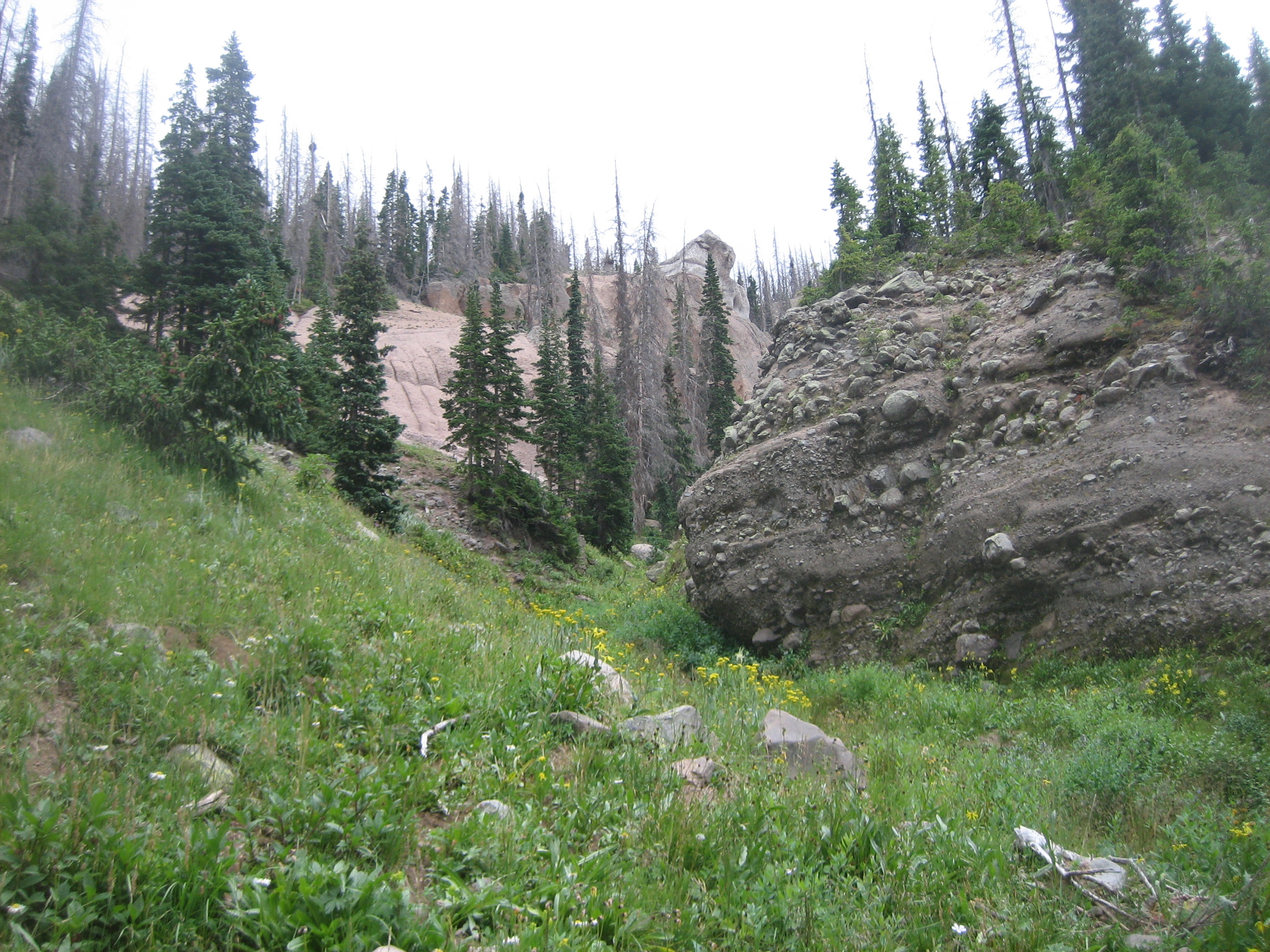
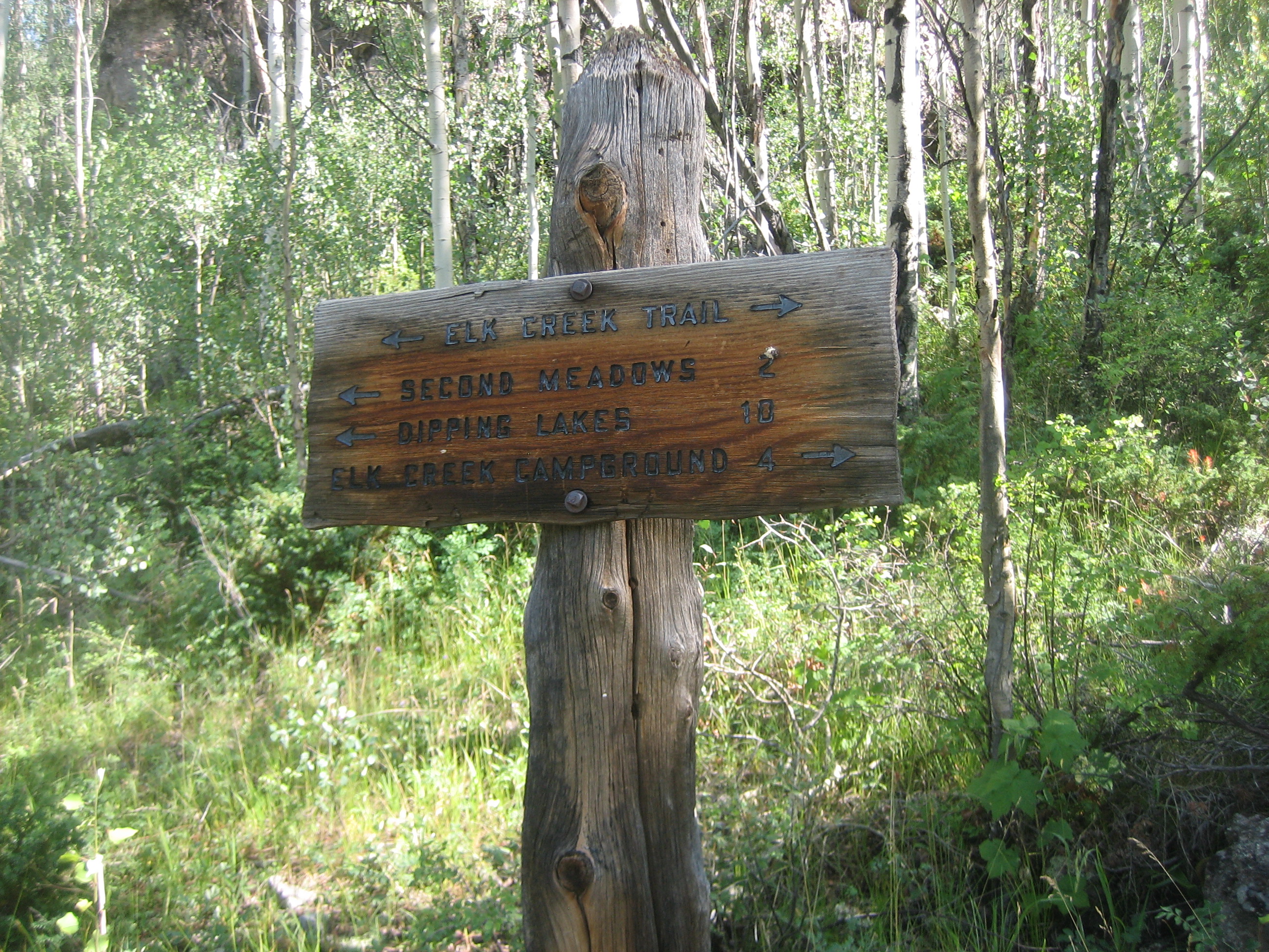
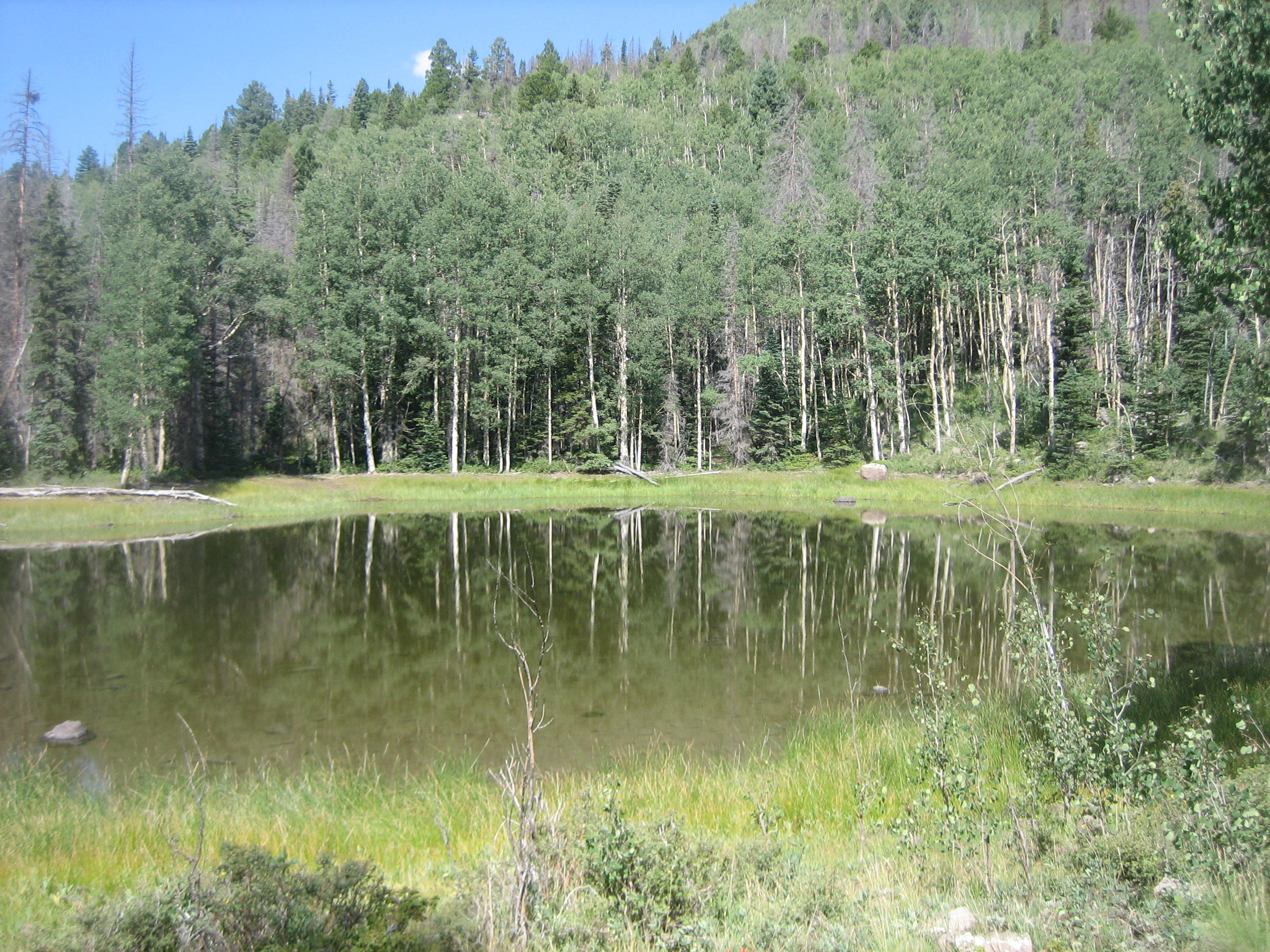
The next morning started with 2.9 mile hike on level ground to the Notch Trail (729) junction. The first mile and a half follows the meadow on the north side of the creek. Right after the meadow ends, the trail crosses a bridge over the creek to the south side. A couple 10ths later, it crosses another bridge to back to the north side. Notch Trail starts with a 0.4 mile, 300 foot up hill. Then our hike picked up the Valle Victoria Trail (727) veering off to the left. After another 100 feet of climb, the trail levels off and passes a small pond. Trail 727 climbs another 600 feet and levels out on a bench that has several ponds and lakes, though there is a good chance the ponds will be dry. After more meadows and open forest, at 2.8 miles from the junction is another lake (video) that is in the process of filling in.
4.9 miles past the Notch Trail junction our route reached the Alverjones Lake Cut-off. Turn north and take it 0.3 miles to the intersection with the Alverjones Lake Trail and turn right. We are now retracing our steps. After 0.4 miles in and out of the trees, we got to the North Fork meadow and made camp. On our last morning, day 5, we continued east to the junction with the No Name Trail. Unlike our trip in, we kept going kept going east until we regained the Ruybalid Trail. After a 3.7 mile and 2400 foot descent, we were back at the car.
Info: USGS 7.5 minute Quadrangles: Spectacle Lake and Victoria Lake. Rio Grande National Forest, 1803 W. Highway 160, Monte Vista, CO 81144, Telephone: 719-852-5941..
Directions: From Antonito CO take Highway 17 west for 22.5 miles. Turn right on Forest Road 250, a gravel road marked with a sign for Platoro. Go north 7.6 miles. Turn left on Record Bridge Road. Go 0.2 miles and turn left. Look for the trailhead on the right in 300 feet.
To Buy Maps: Currently I don't make this map. However, maps of the Blue Lake and Conejos hikes are available on weatherproof paper for $5 each ($10 for the set) plus S&H by emailing Charlie at cew5151@gmail.com (copy and paste in your email).