
Fish Lake Hike, South San Juan Wilderness, Colorado.
Free downloadable topo maps of the Fish Lake-Twin Lakes Hike
Printed maps are also available for purchase.
This was my third trip to the South San Juans. The first two were just a couple nights on long weekends. The place is so special I came back for a 44 mile, seven day-six, night adventure. While we saw some of the same places as on the first two trips, namely Twin and Blue Lakes, the extra time afforded us the opportunity to see more lakes and more high country.
Click here for Conejos Peak Loop page.
Click here for Blue Lake Loop page.
Click here for Victoria Hike page.
Click here for South San Juan Wilderness page.
The Maps: The free full size version of the map is available on this page as a downloadable jpg. At this time I don't have the 11x17 printed maps on, "Rite in the Rain” all weather writing paper. If you are interested in a set, emailing Charlie at cew5151@gmail.com and I'll make one. The map is nominal 1:24,000 based on USGS 7.5 minute quadrangle topographic maps. The hike is shown in red and is based on the GPS track taken on the hike and corrected using Google Earth. The trails in blue and purple are other trails in the area. The purple trail is the Continental Divide Trail. Green depicts unmaintained trials such as to the top of Conejos Peak. The green and black line is the wilderness boundary. The forest roads are in black and based on aerial and satellite imagery. Check with the Forest Service to make sure the minor or more remote roads are passable with your vehicle. Although camping is at large, selected established camp sites are green “^”.
Trip Mileage Table: Click here for trip mileage table.
GPS Track: Right click this link and Save Link As to download the tracks in a gpx format. Save it to your computer and use your GPS software to load it to your GPS.
Google Earth Track: Right click this link and Save Link As to download the track in the Google Earth kml format. Save it to your computer, and open it in Google Earth and trace the route in interactive 3D.
The Hike. This is a 44 mile complex loop in the South San Juan Wilderness of southern Colorado. It begins at the South Fork Trailhead on Forest Road 250. FR 250 can be reached from Highway 17 west of Antonito CO.
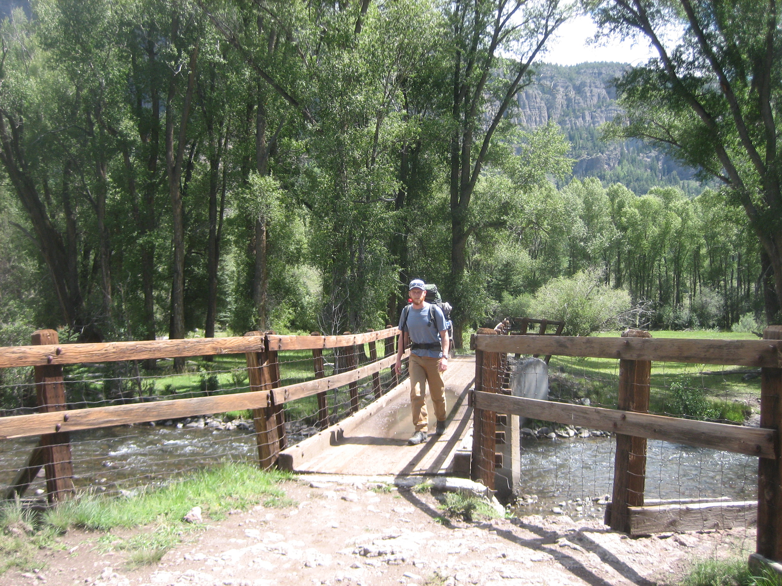
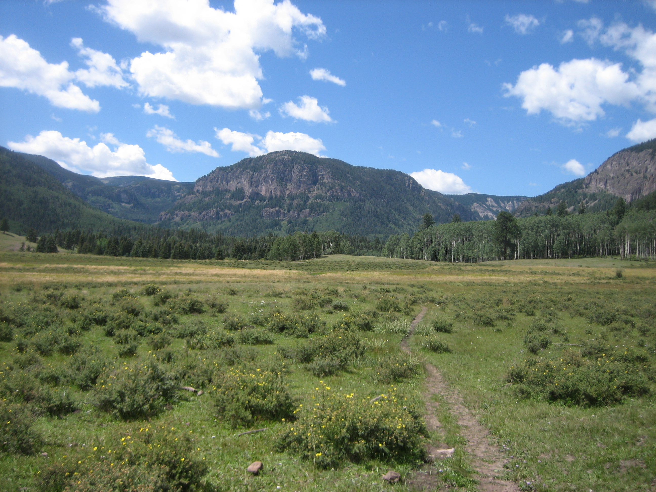
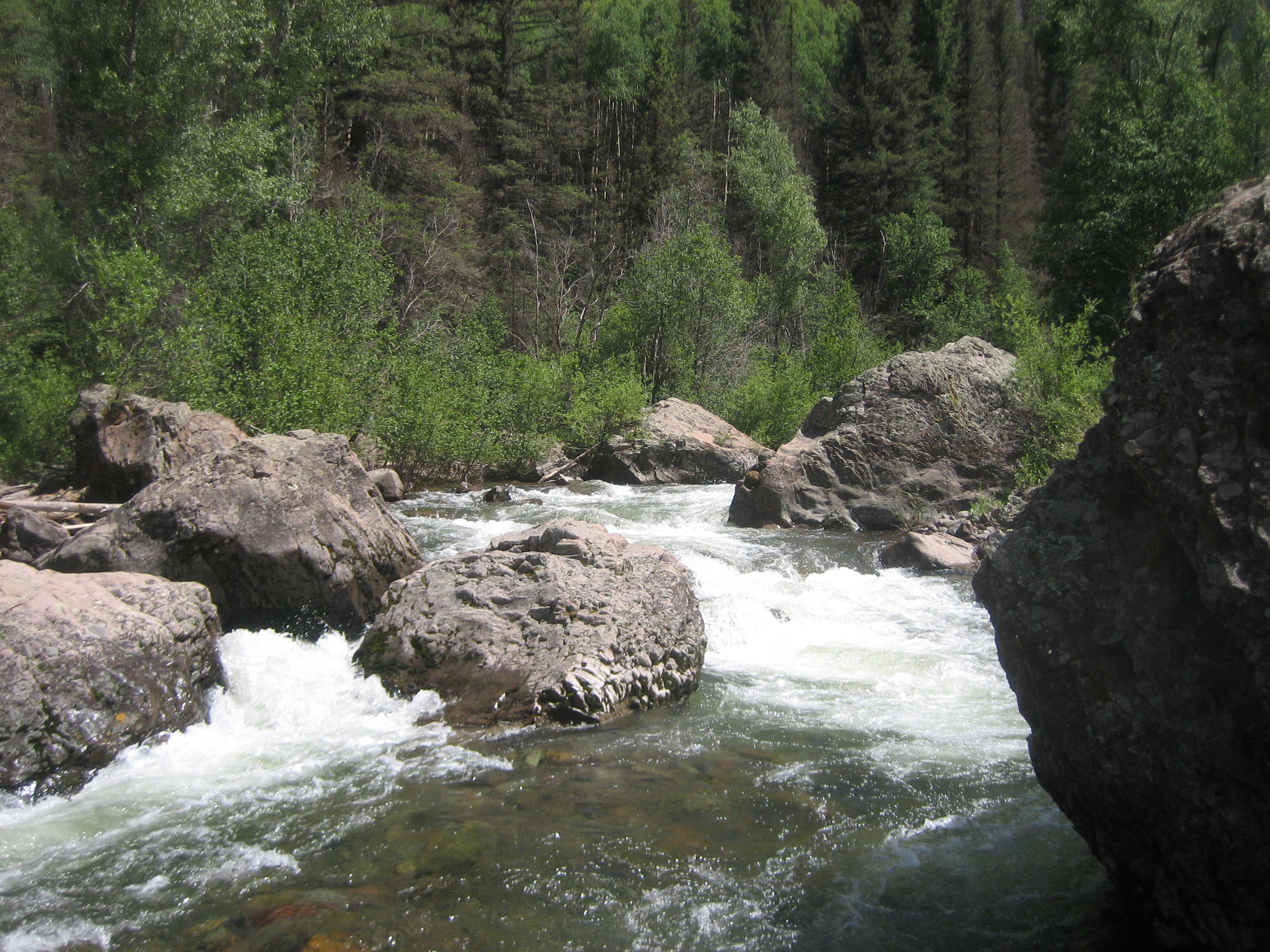
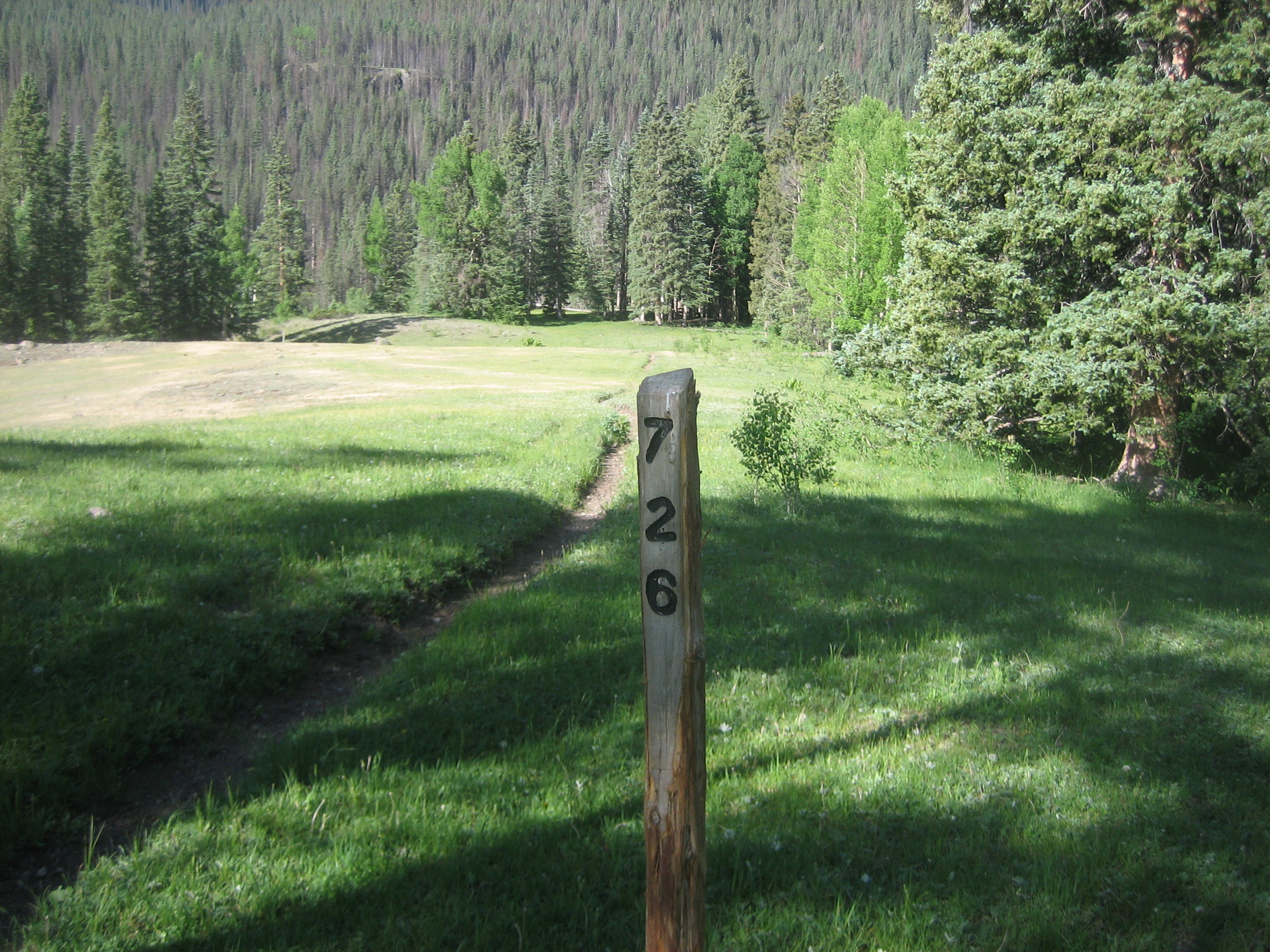
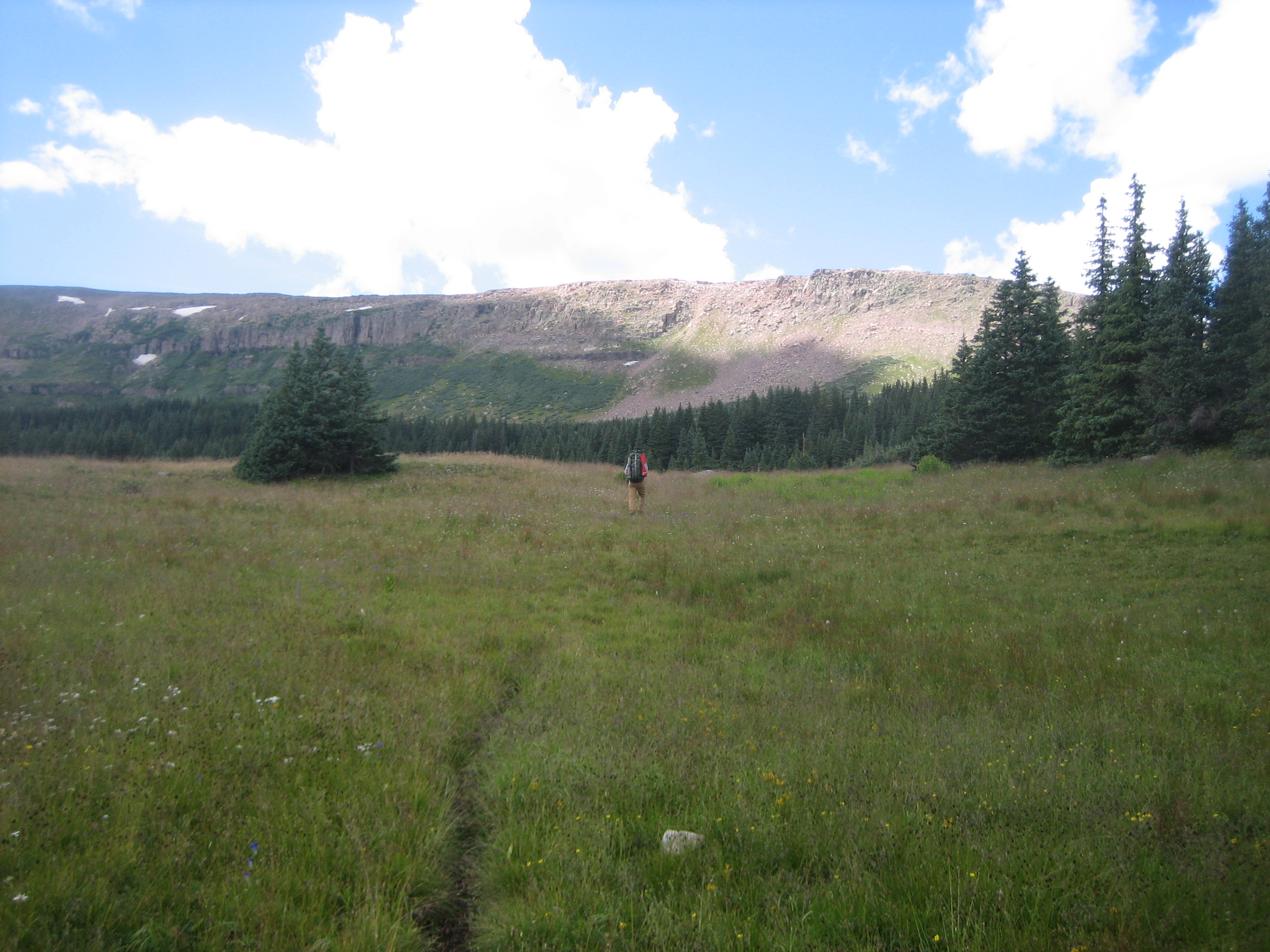
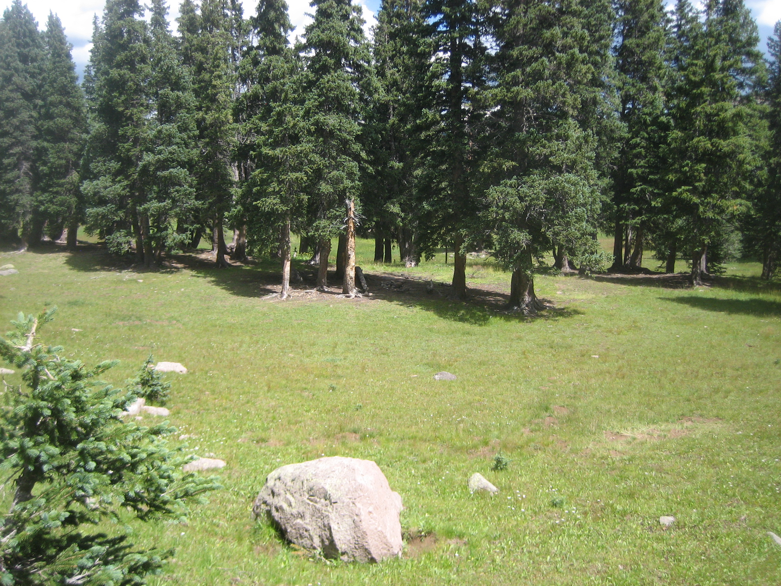
Sign in at the registry at the south end of the parking lot (SJ-01, 0.0 miles) and begin walking down hill on Trail 724 to the Conejos River. While the trail is not blazed, the path is usually evident. This won’t be the case if there is a lot of snow pack.Cross the bridge over the Conejos at 0.4 miles and reach the South Fork sign (SJ-02, 0.4 miles). In front of you to the west is the vast grass covered valley of the South Fork. The trail veers north, heads up a slight hill, passes a gate (0.7 miles) and reaches the junction of Trails 724 and 720 (SJ-03, 1.0 miles). Turn left and pass the Trail 724 post. For the next several miles you will hike though meadows and small sections of trees. At 1.7 miles there is a distinct trail the heads straight up a small rise towards the trees. Cross Hansen Creek at 3.3 miles. When we crossed it in August it was a braided stream of cobbles with multiple channels and could walk across it.
SJ-04 (3.7 miles) was our camp site on the Conejos Peak hike. Its an nice open meadow near a cascade on the South Fork of the Conejos.
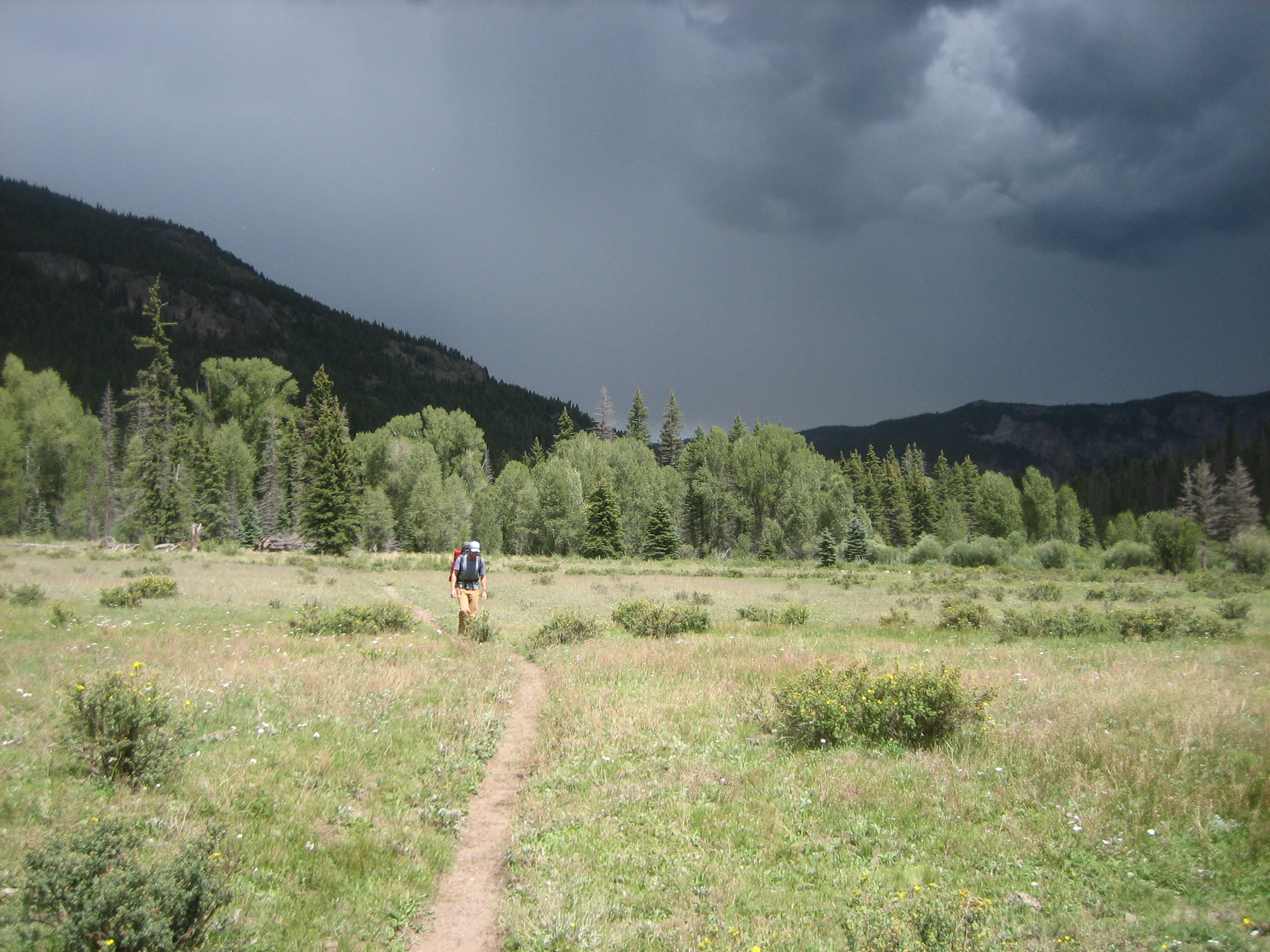
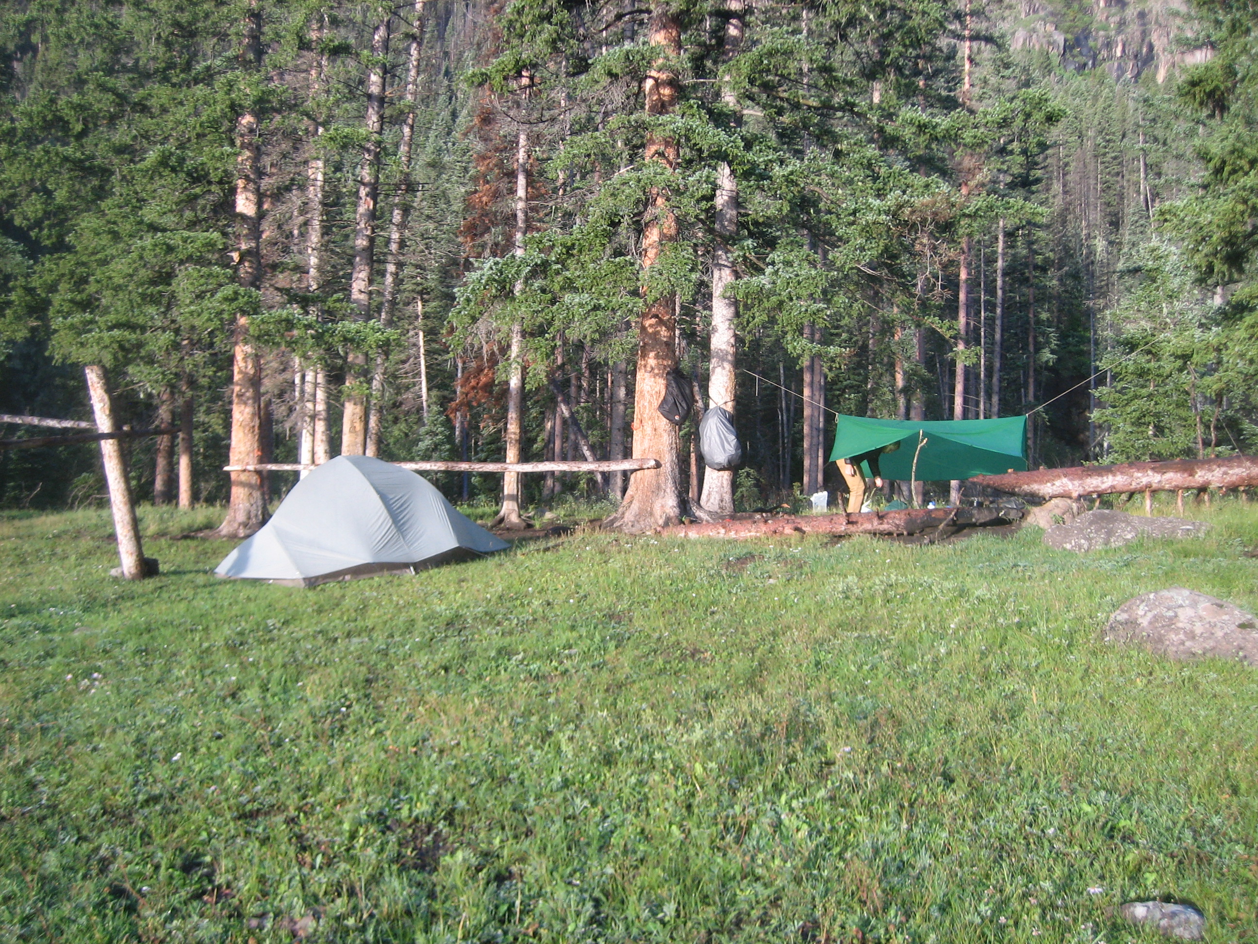
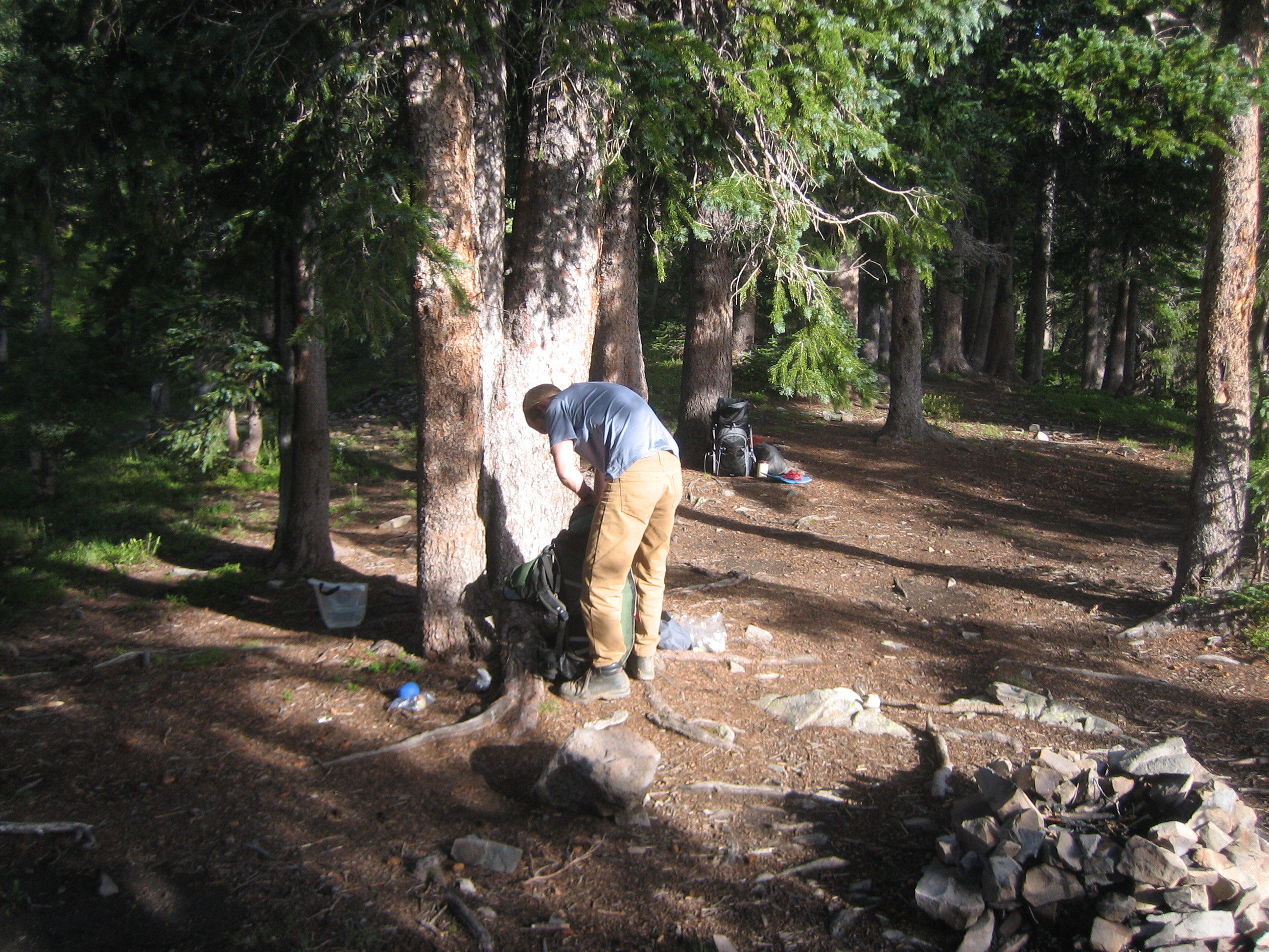
At SJ-05 (5.9 miles), Trail 726 takes off to the south, crosses the South Fork and heads up Canon Verde. The weather had been threatening so we made our first camp near the junction and set up the tarp. Good thing, too, because the rain came hard.
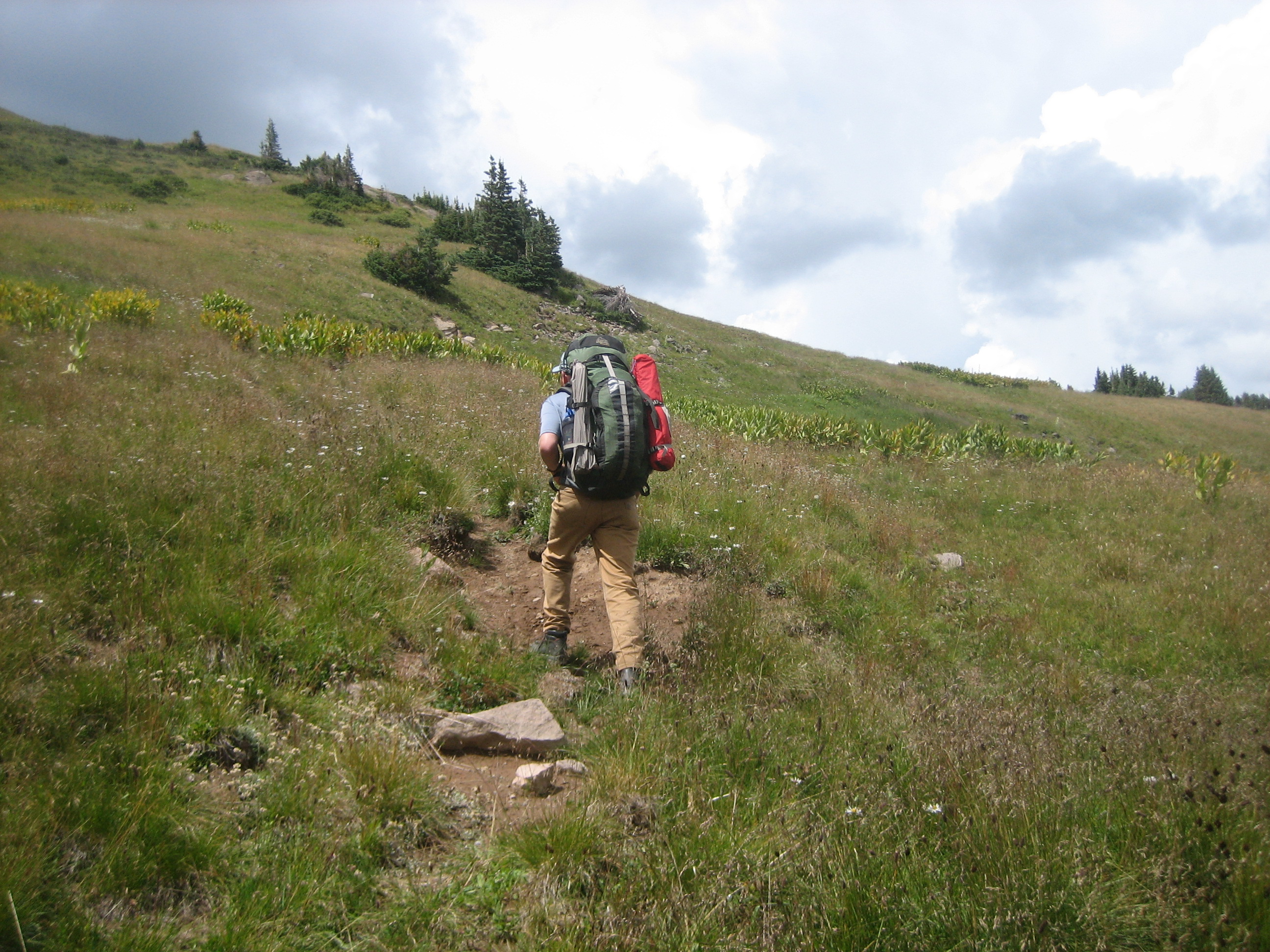
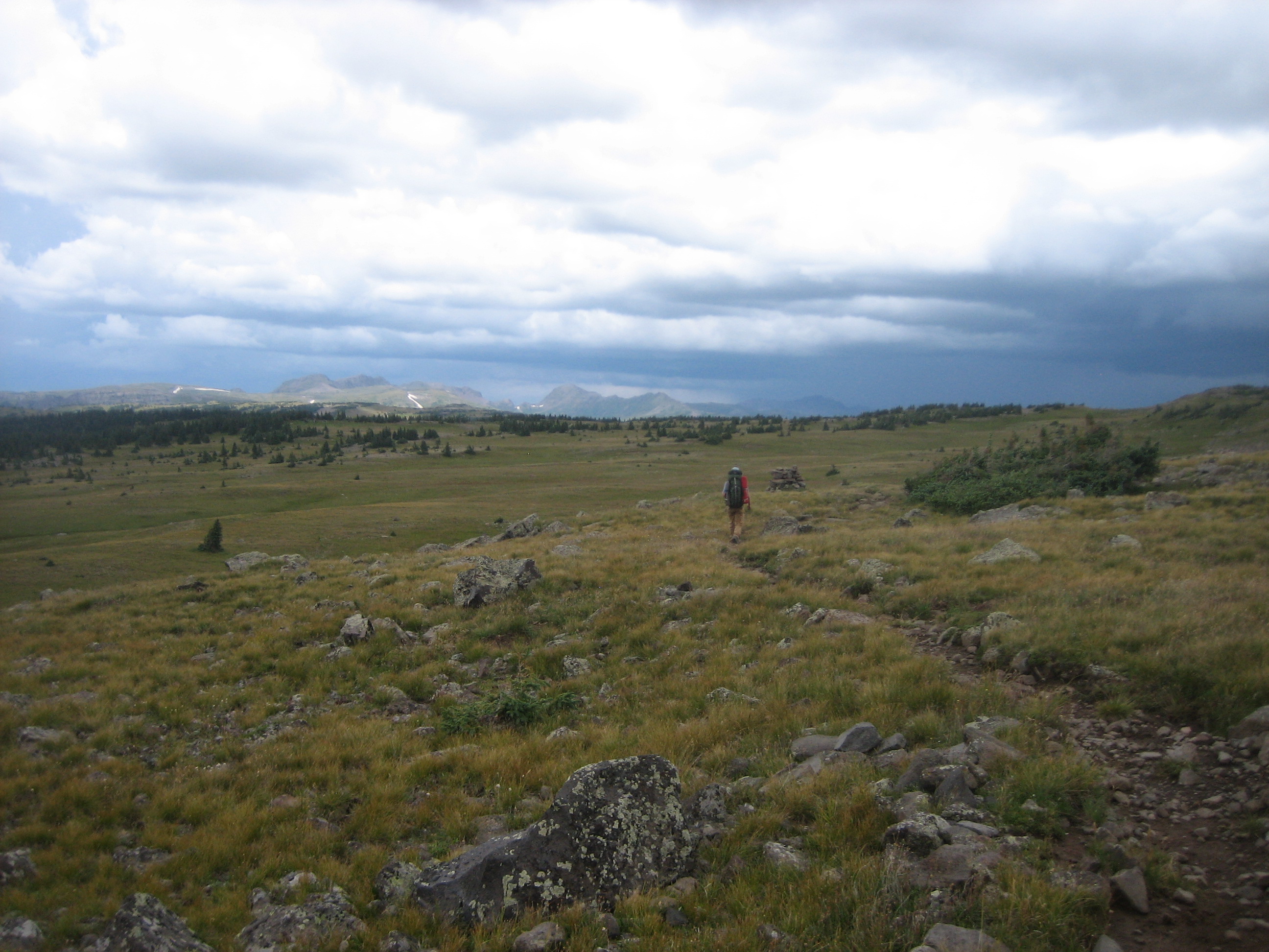
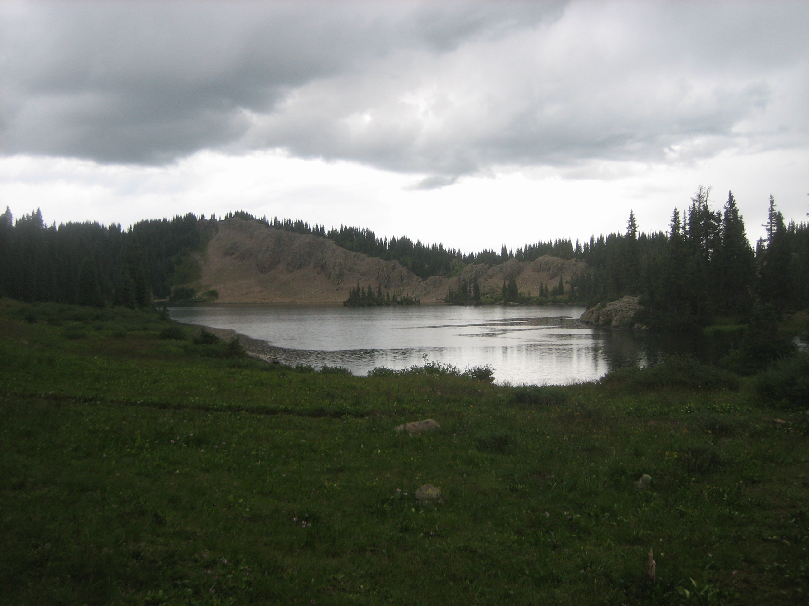
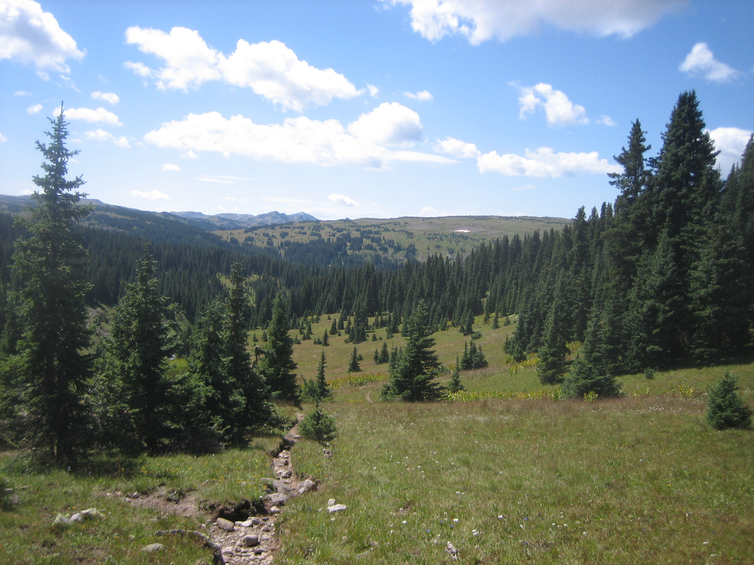
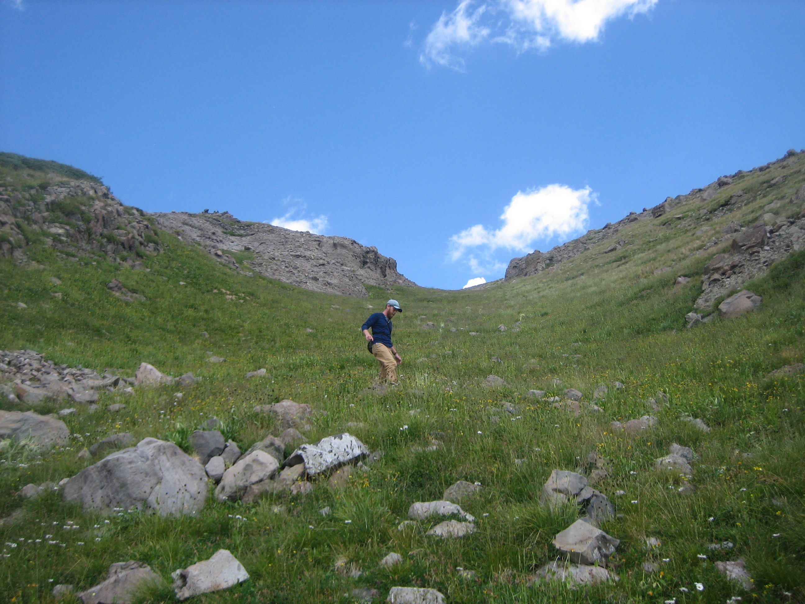
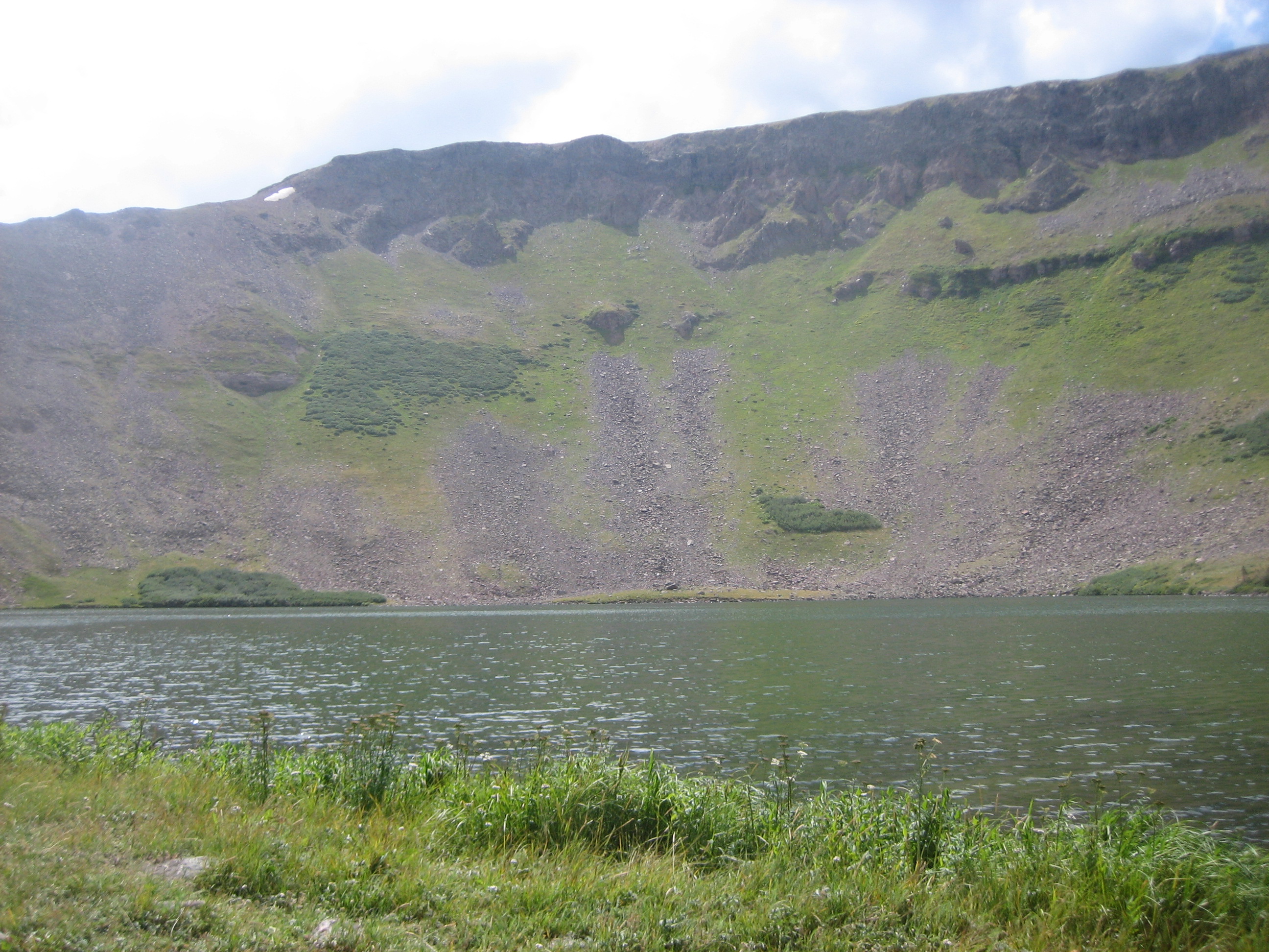
On day 2 we hiked up the Canon to Green Lake. It is a 1,900 foot climb over 4.5 miles to the lake through meadows and forest. It was a pretty lake (video) and green as advertized. While there were some good campsites, it was early to stop so we kept going. It is a 300 climb and less than a mile to the Continental Divide Trail. The 2.3 miles on the CDT to Blue Lake is above the timberline and fairly level affording views of peaks in the distance. Blue Lake is very scenic surrounded by forest, outcrops and meadow, and it is blue. We camped in the trees where we could set up our tarp anticipating the afternoon rain.
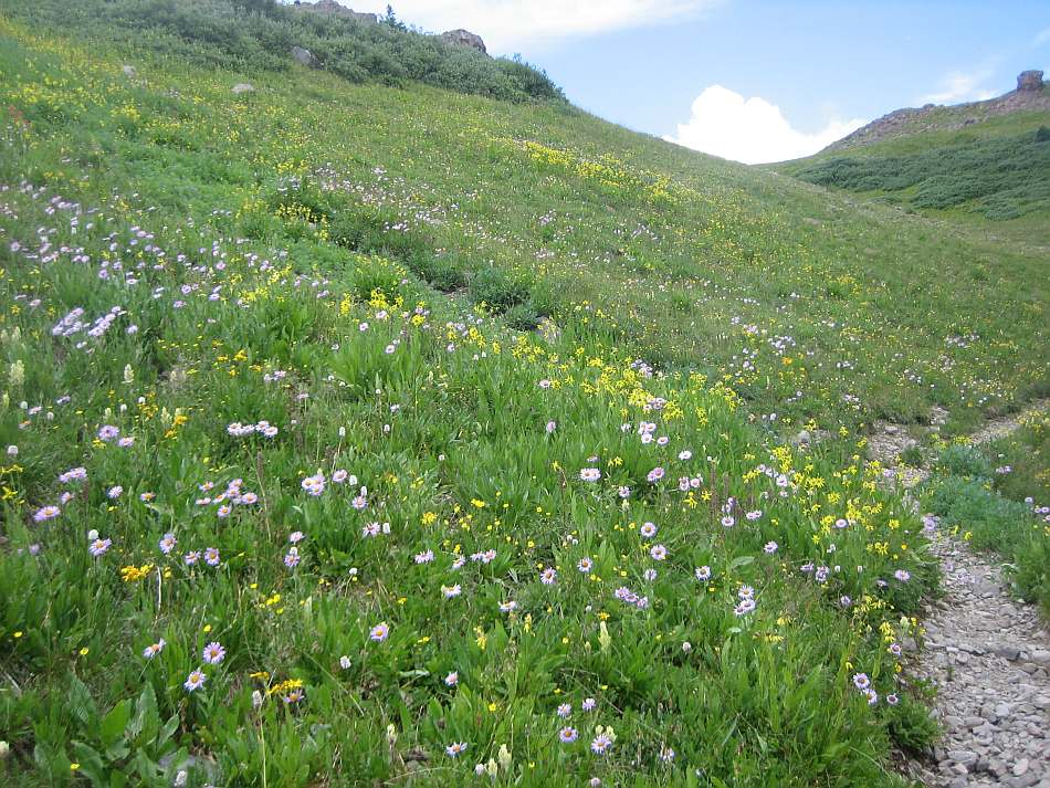
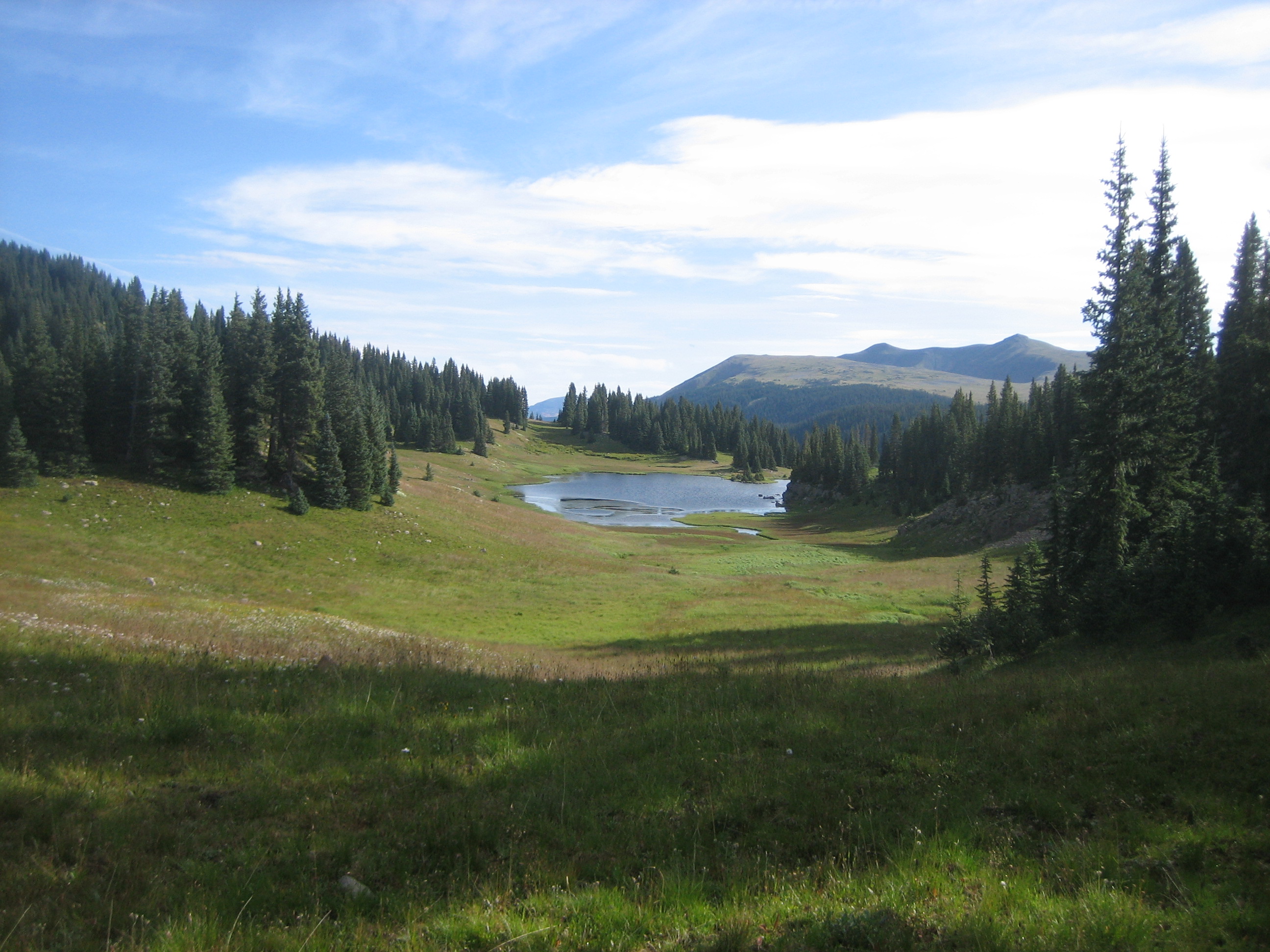
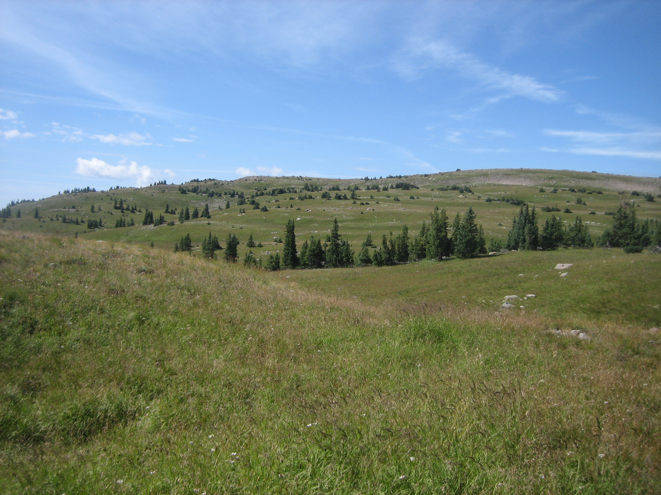
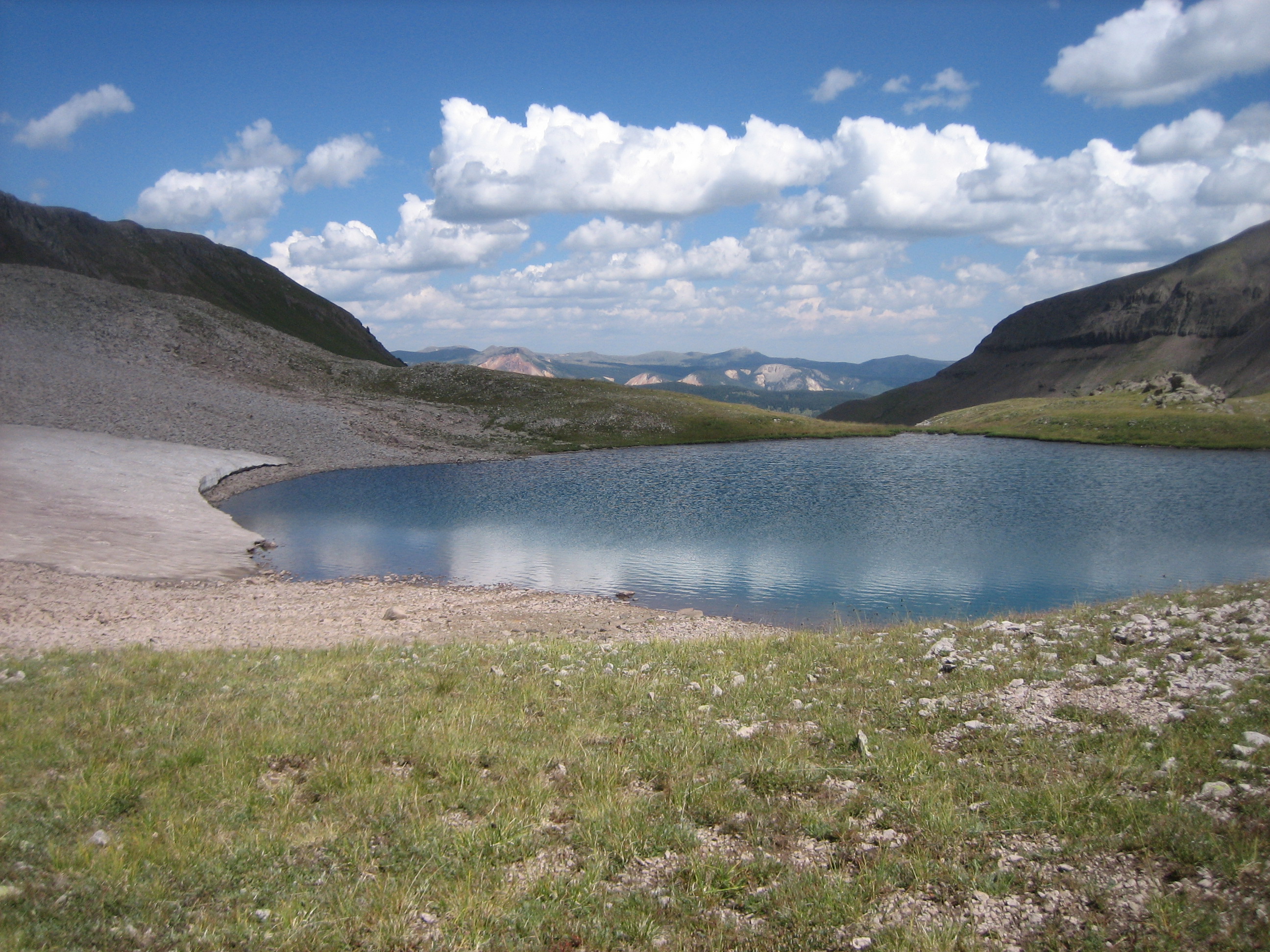
On day 3 we left Blue Lake (video) and hiked the CDT for about a mile to the Fish Lake Trail (video). The 4 miles to Fish Lake passed several small lakes and crossed vast expanses of alpine meadows. We stopped at a tiny pond (video) on the way for a break.
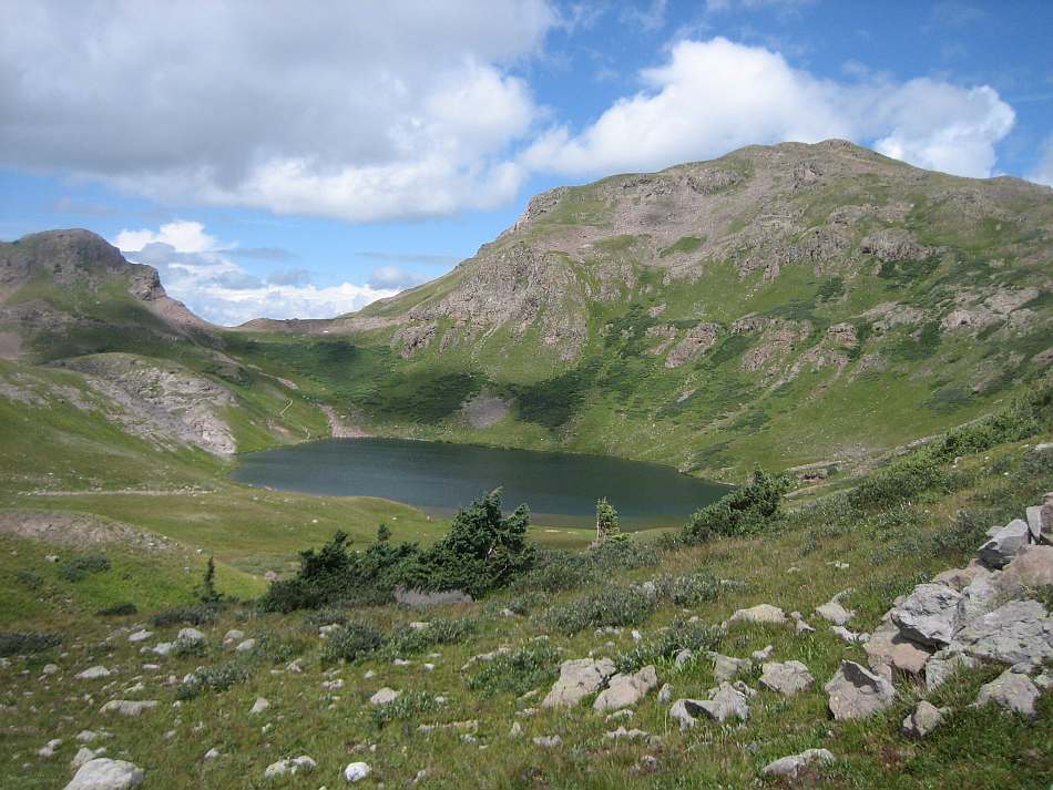
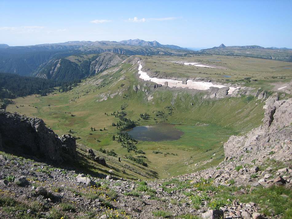
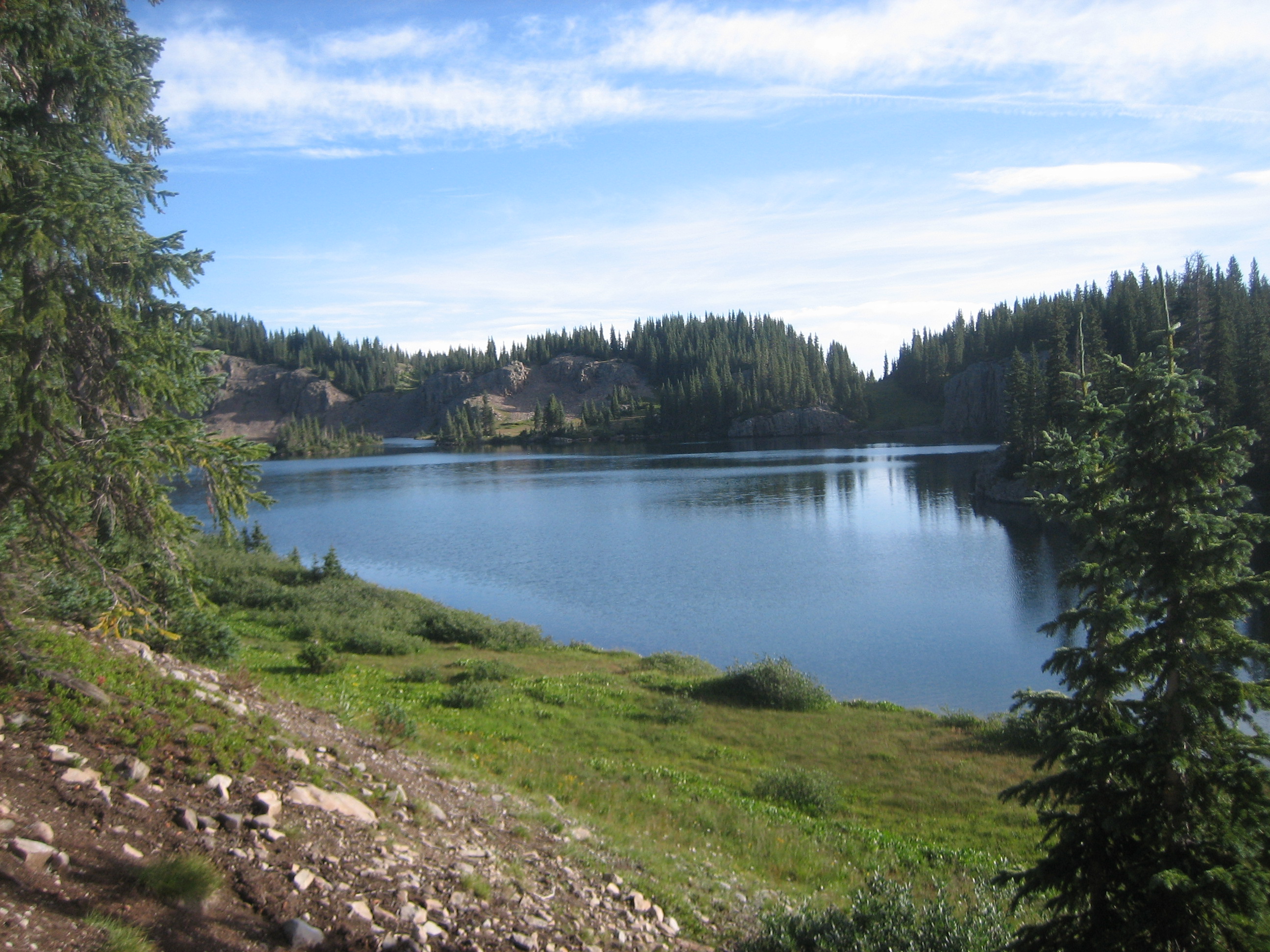
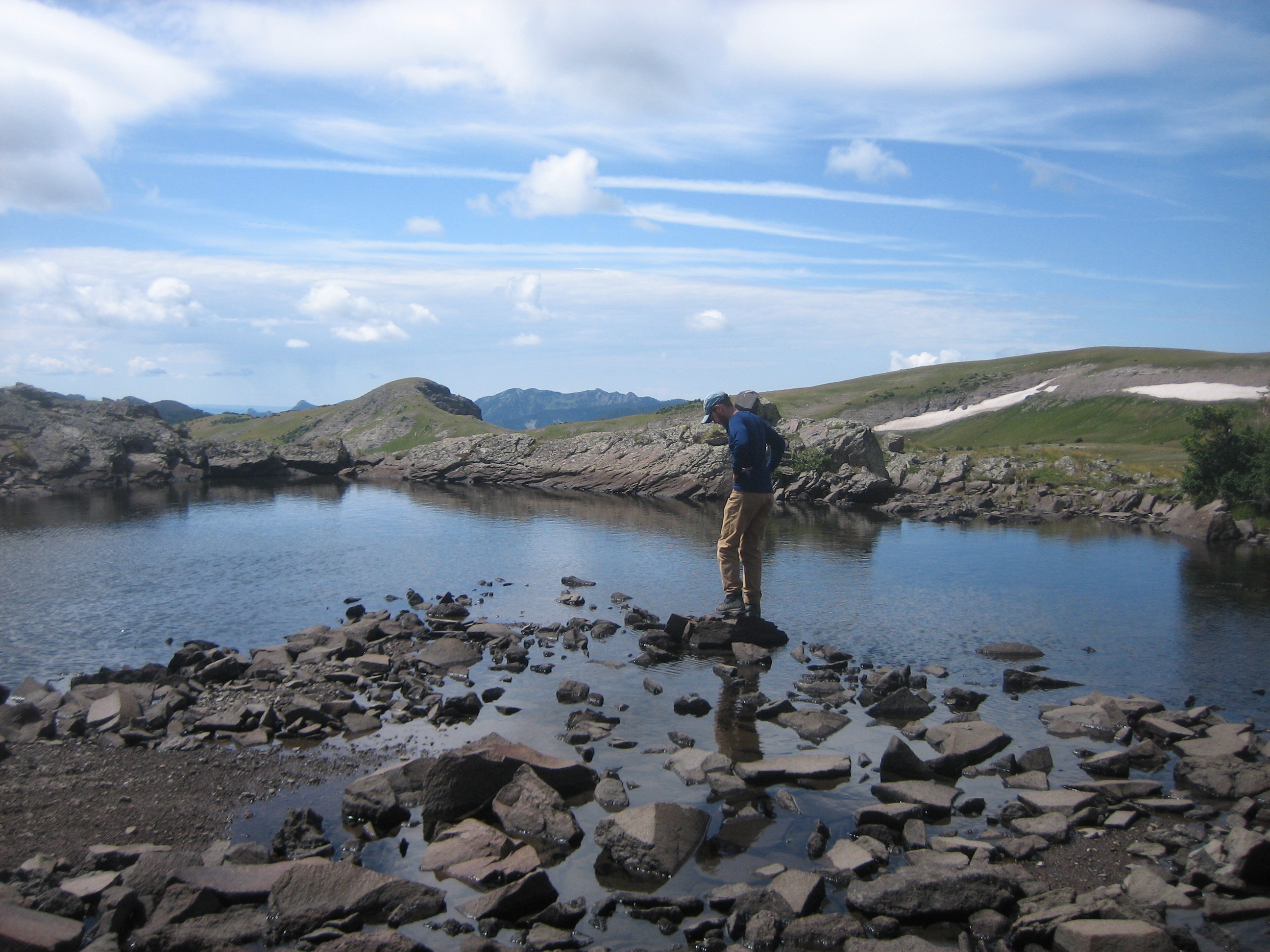
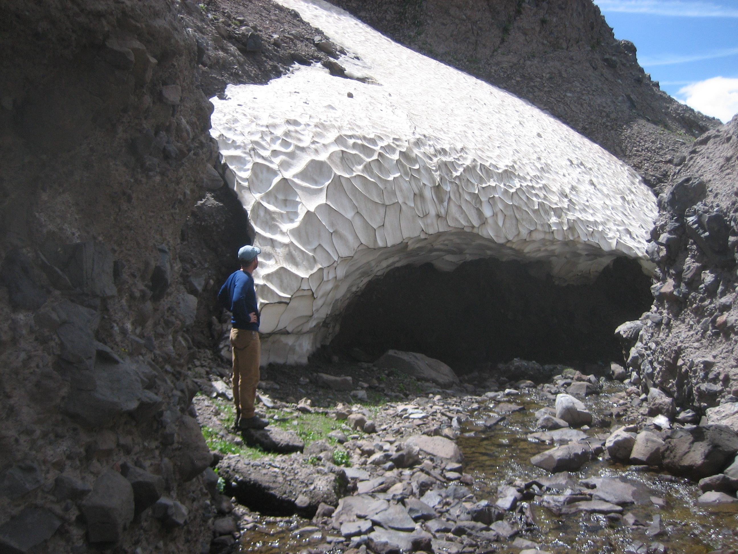
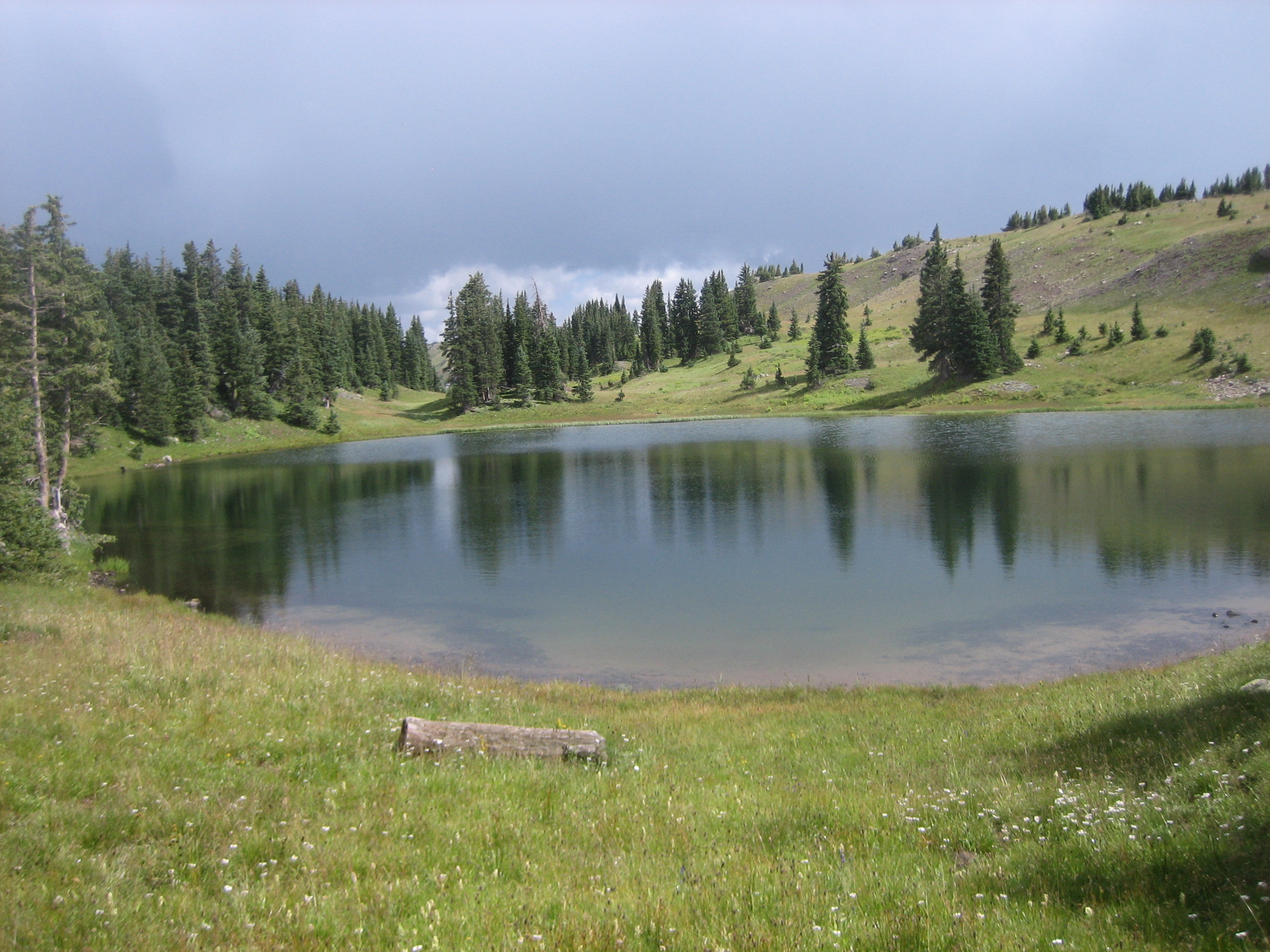
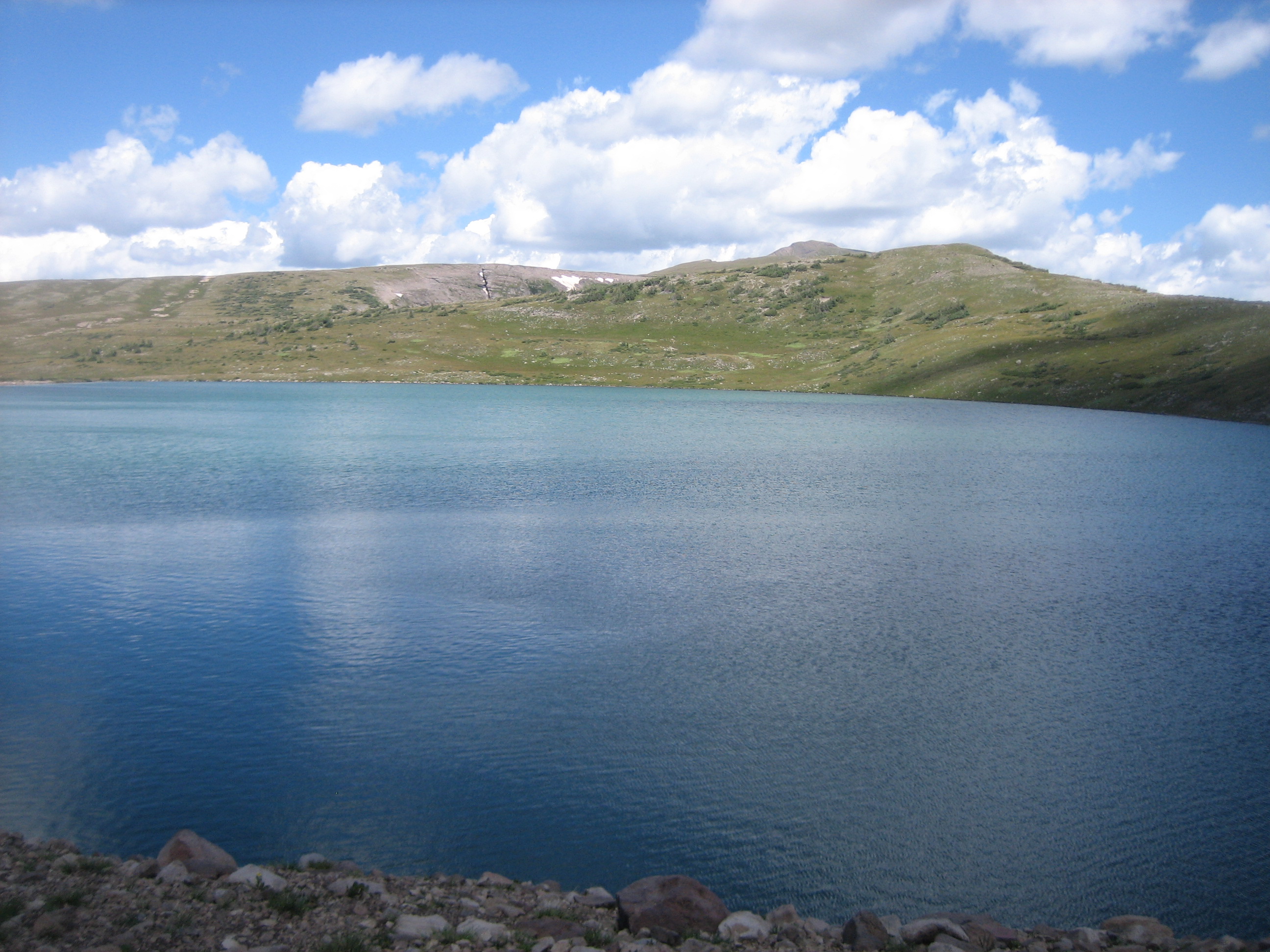
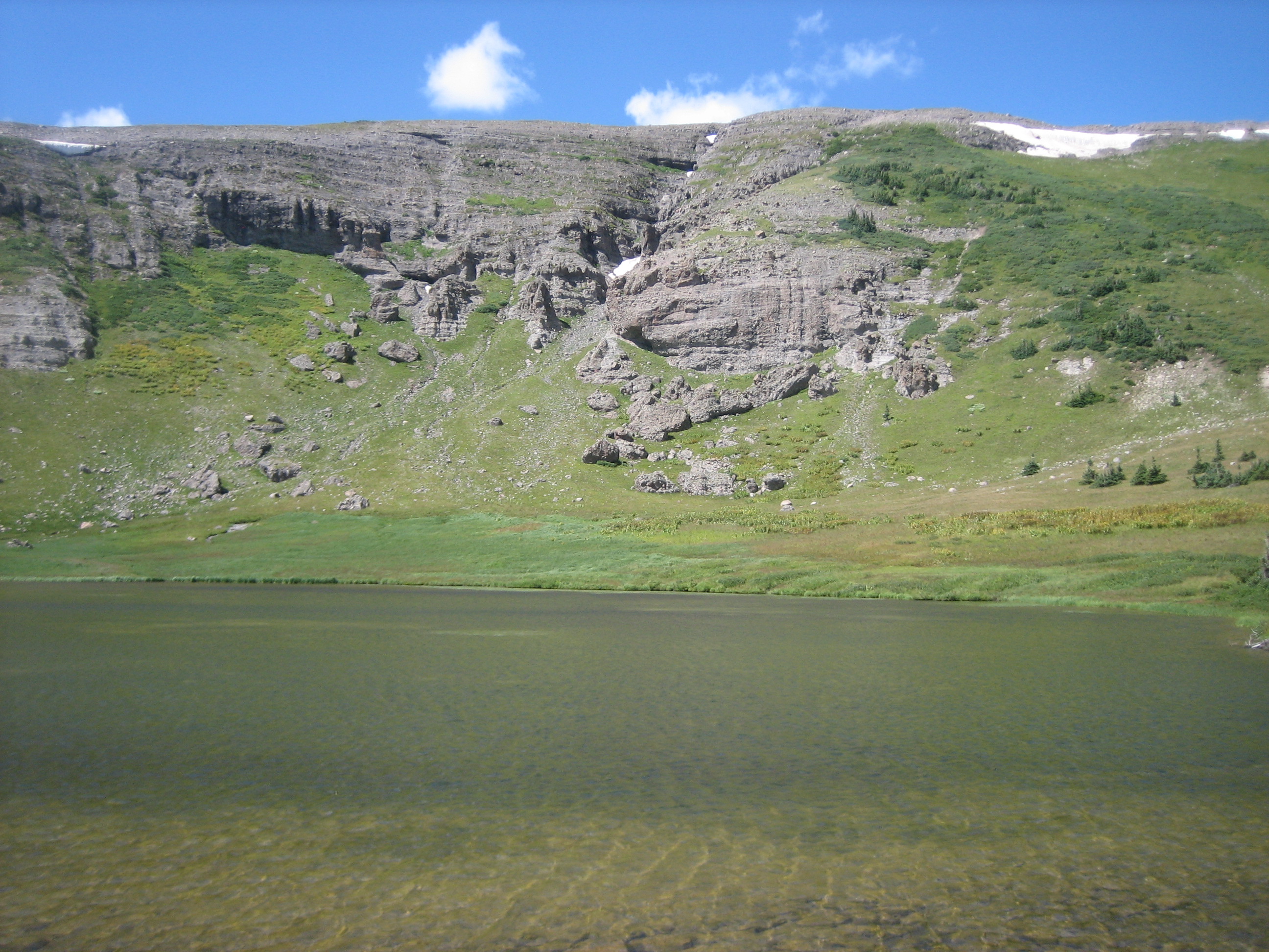
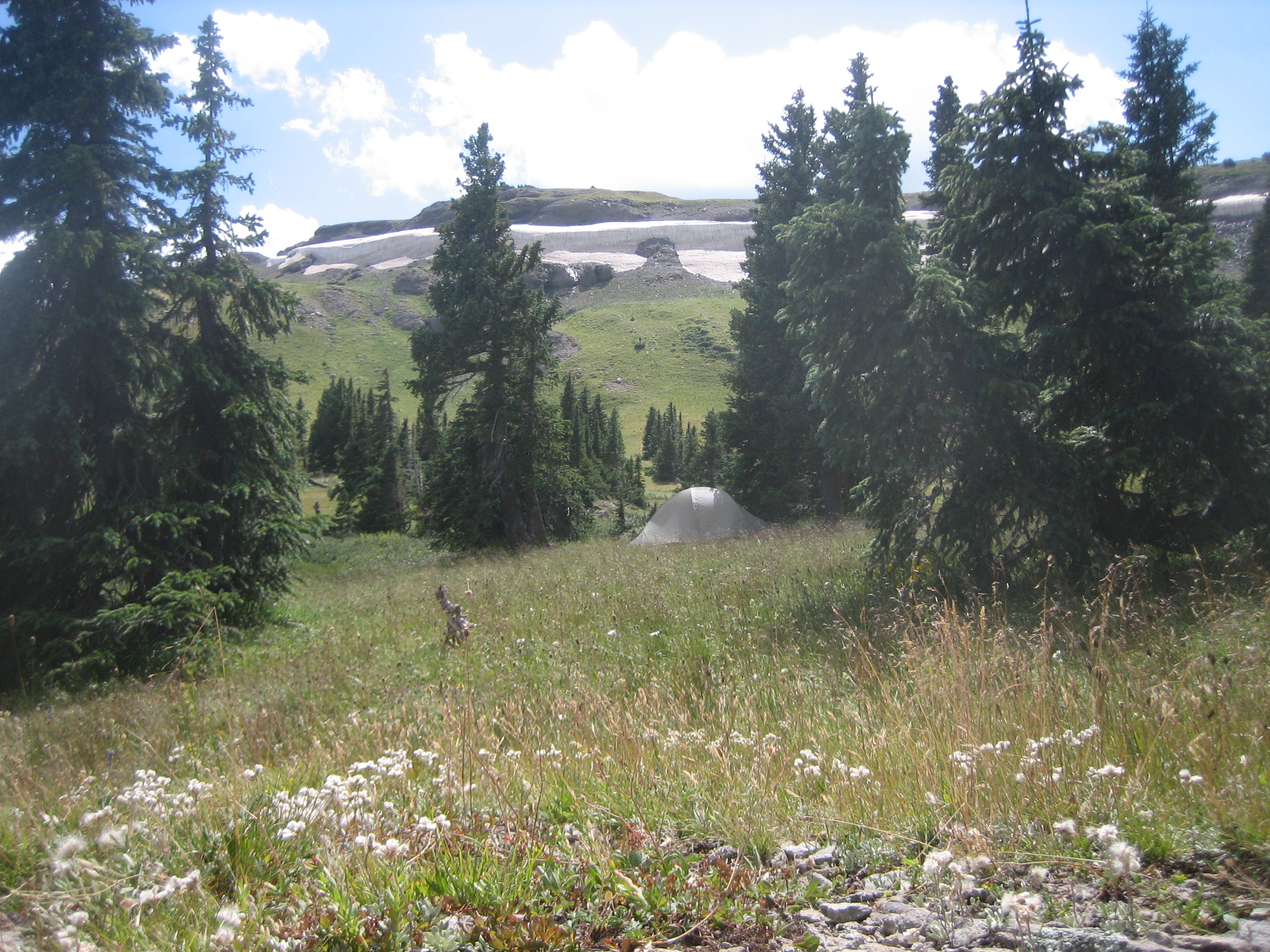
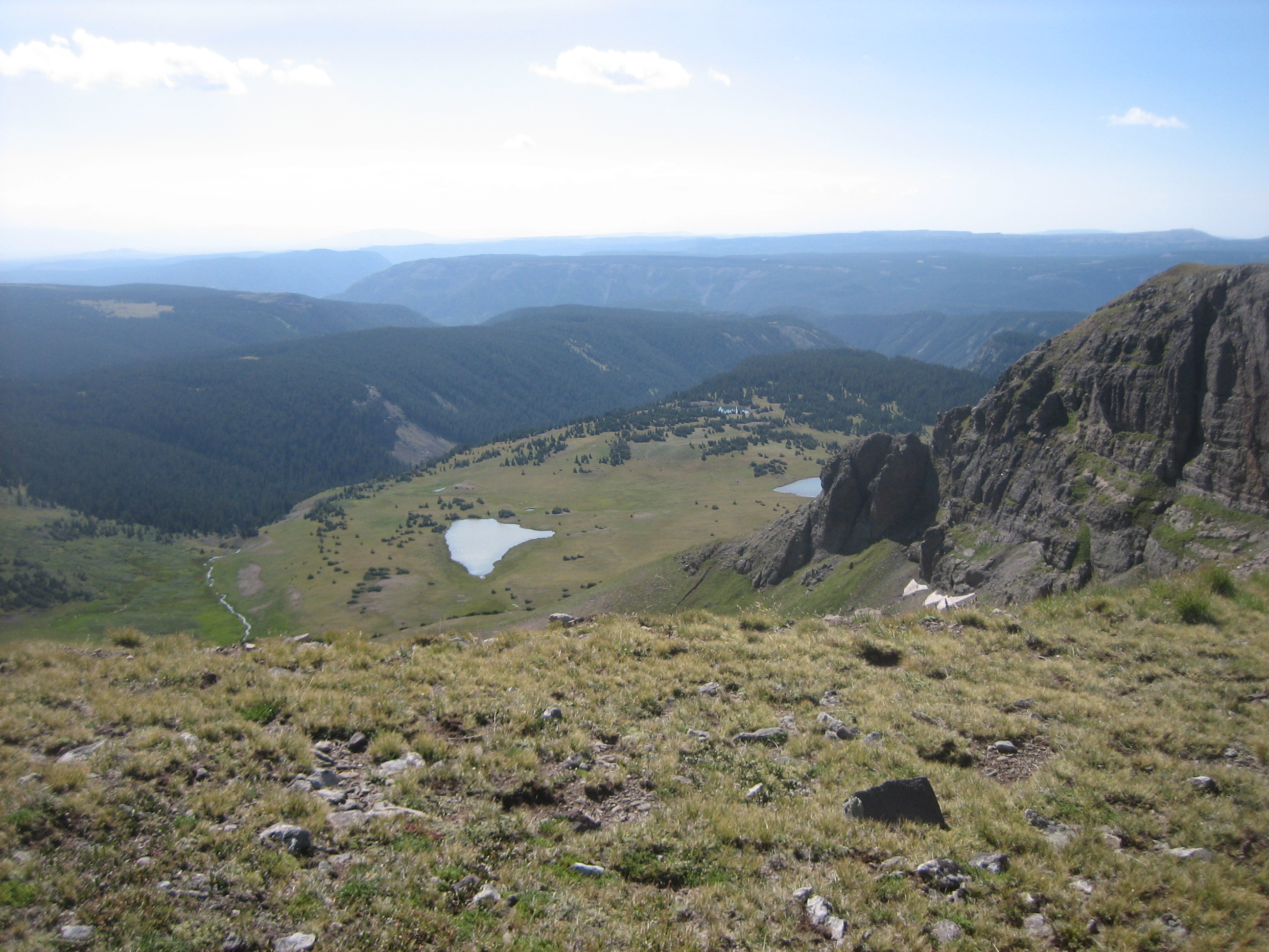
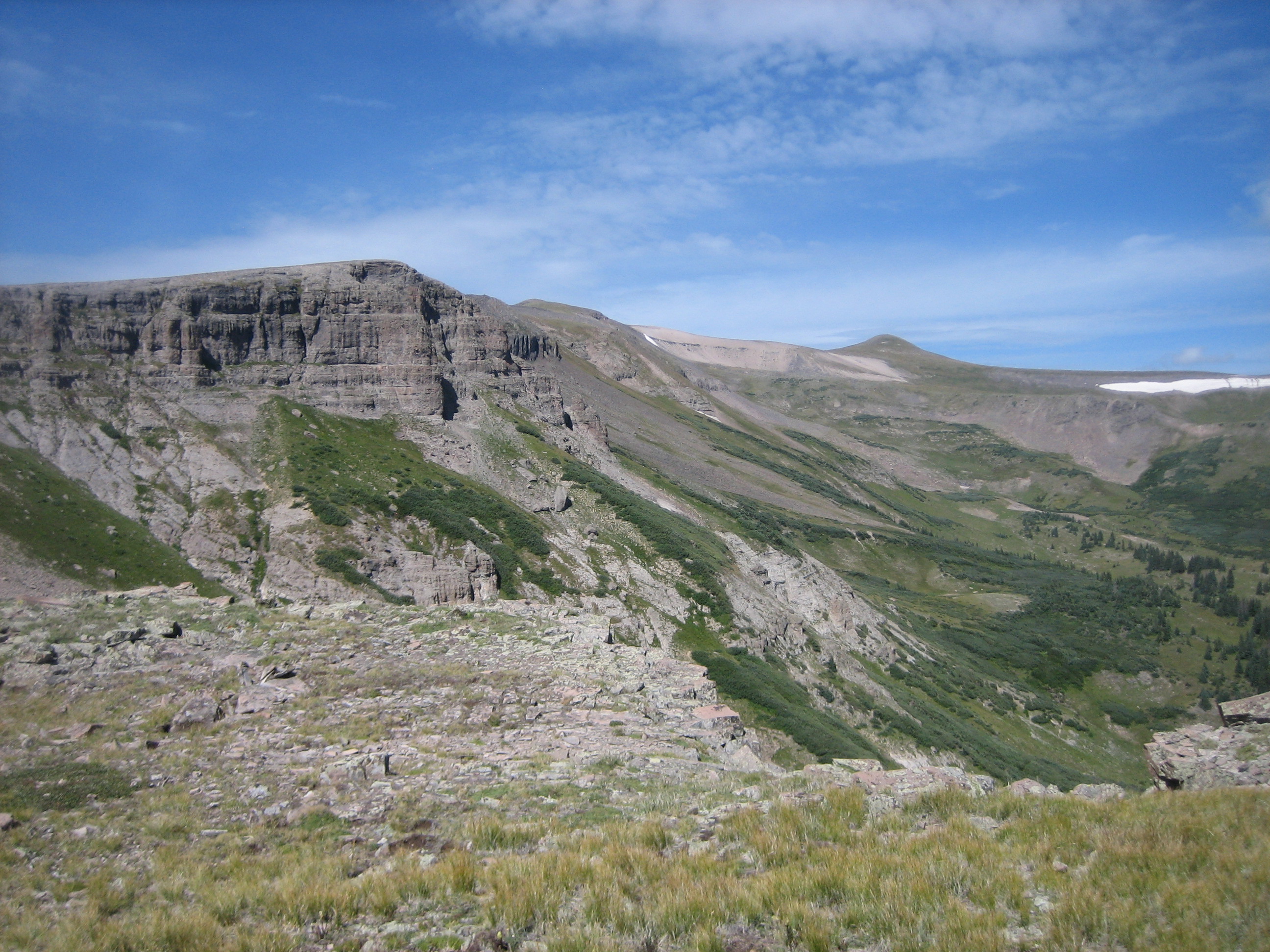
Fish Lake is nestled in a cirque bowl that drains to the south into Fish Creek, which in turn drains to Rio Blanco. The area around Fish Lake is above the timberline, rocky and barren of trees. We hiked around it looking for a campsite getting an up close view of Gunsight Pass (video) and running across a cool snow bridge. Since we had been getting a lot of rain and hail, we decided to back track a couple miles to an unnamed lake that had some trees so we could set up the tarp (video). Good thing, too, because the rain came again.
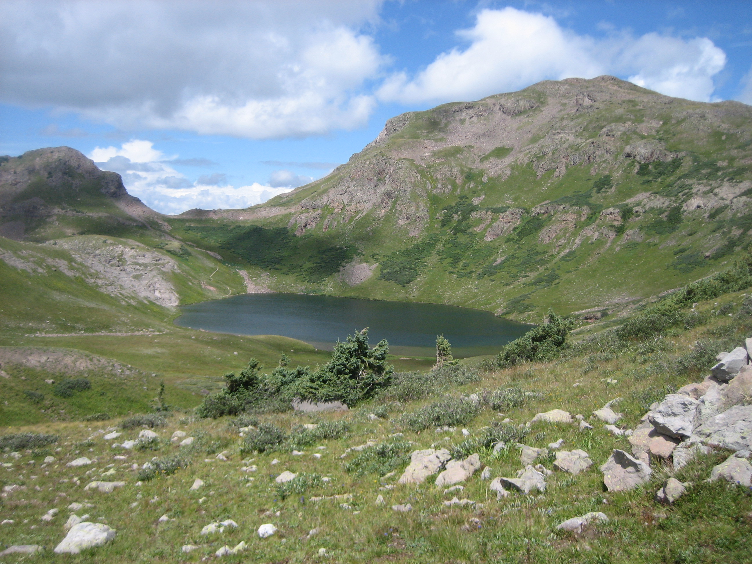
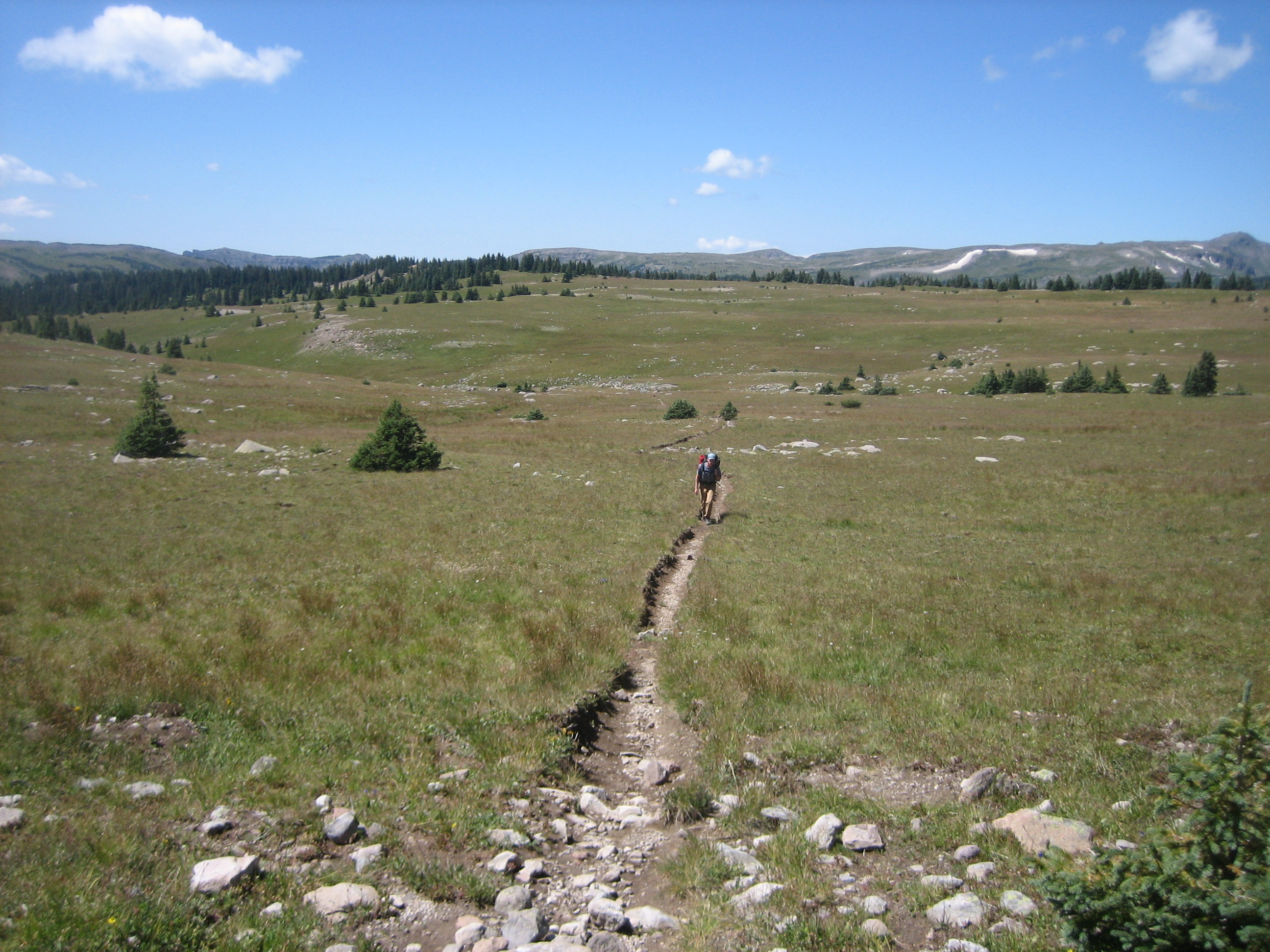
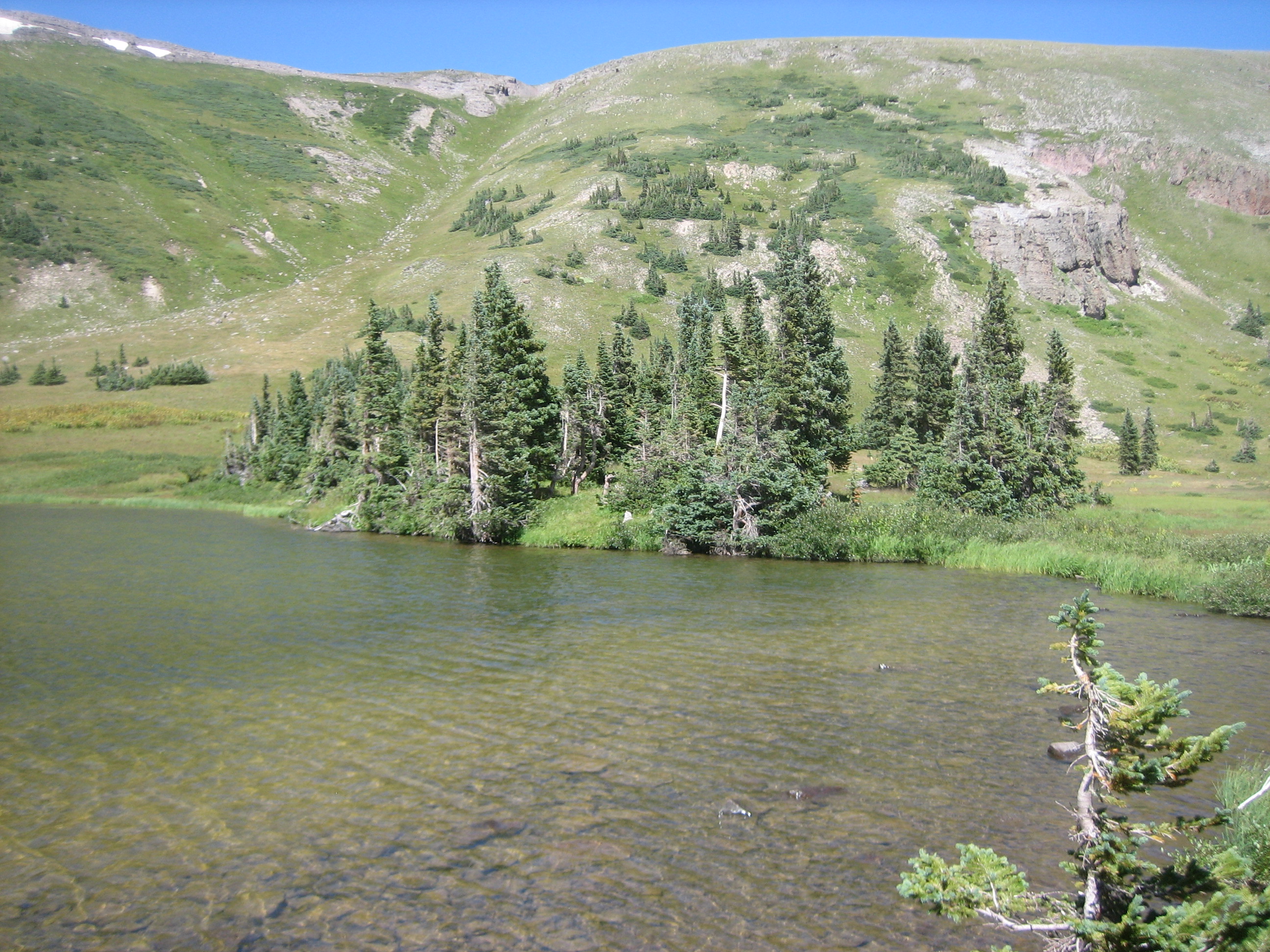
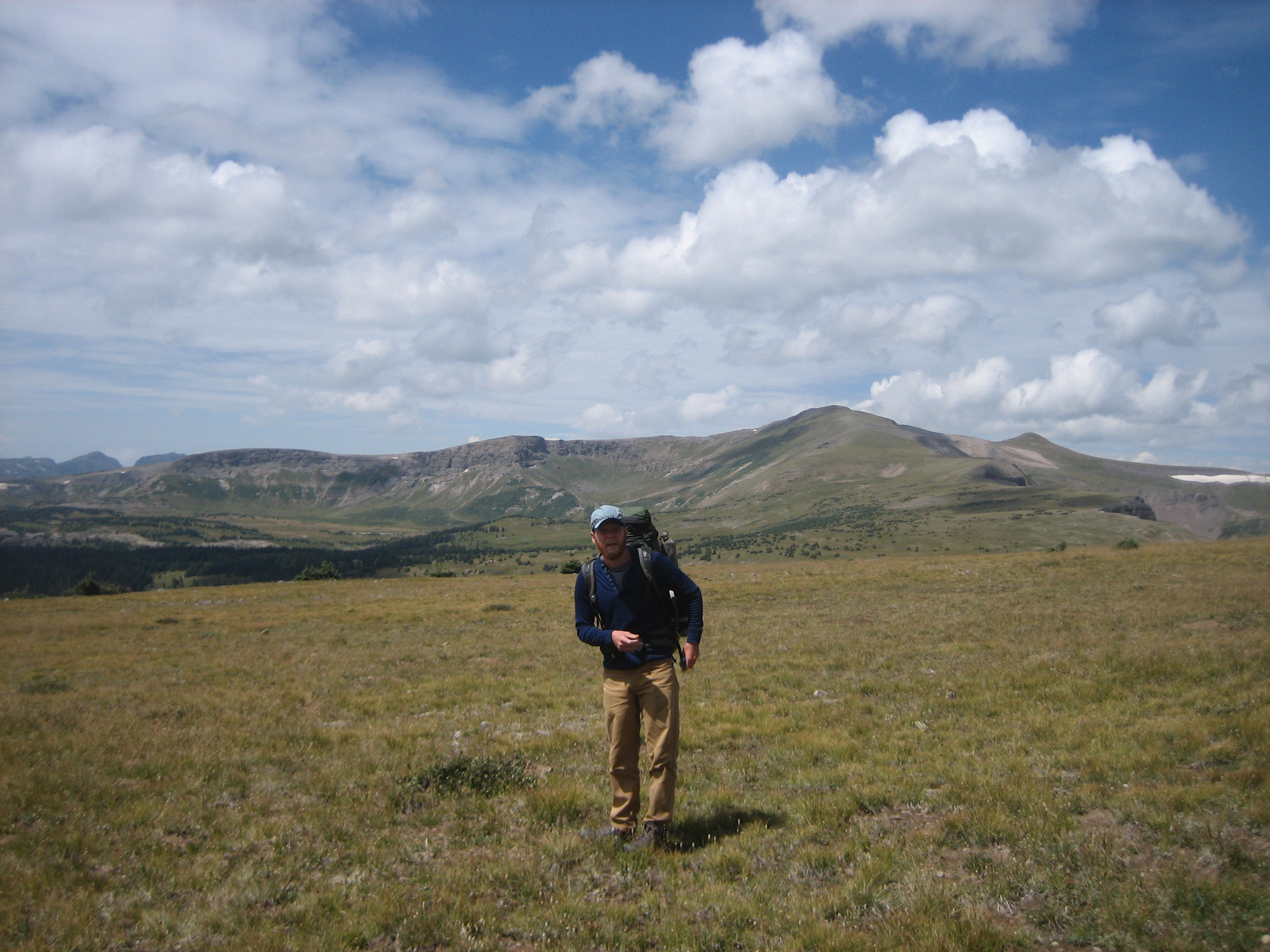
On day 4 we hiked back to Blue Lake then picked up the South Fork Trail for a half mile until the junction of the Glacier Lake Trail. More gorgeous terrain through forest and meadows. More hiking through the alpine. As we approached Glacier Lake, the entire wilderness (video) seemed to open up a 360 degree view of where we have been and where we were going. The lake itself is another beauty with its crystal clear blue water. Since it lacked trees, we dropped down the eastern bluff, picked up the Rincon Trail and headed to west Twin Lake to camp.
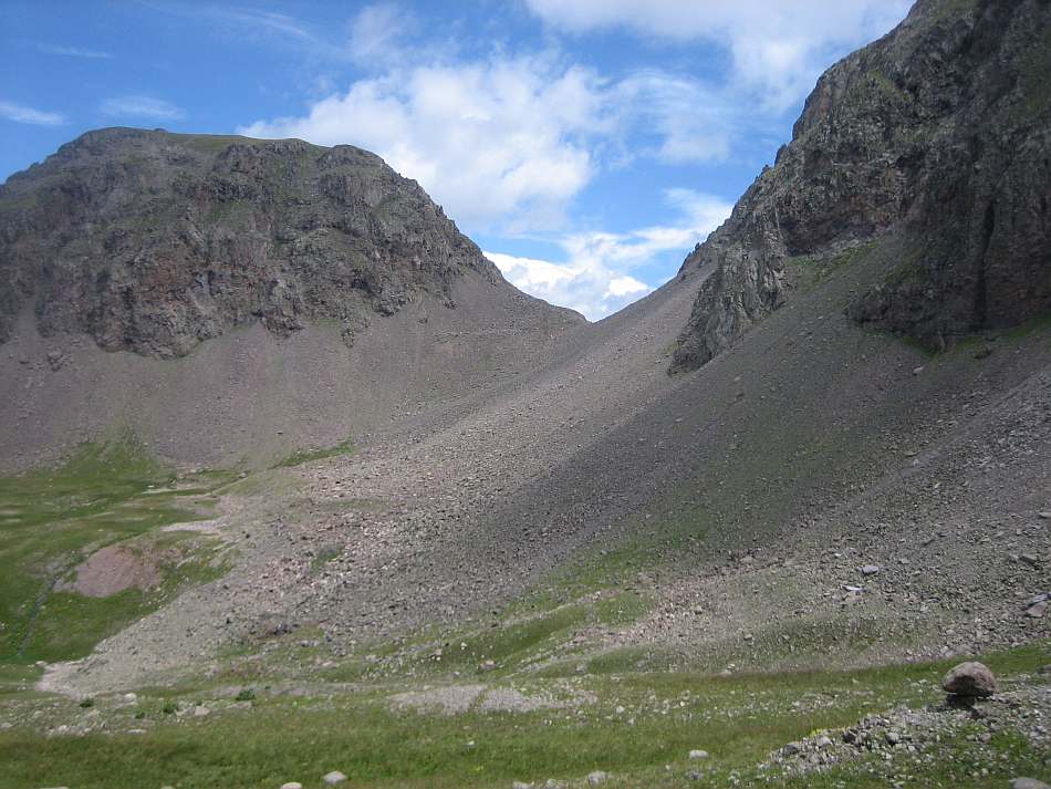
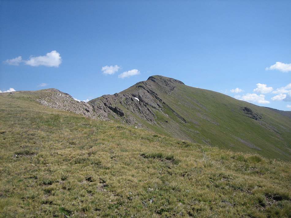
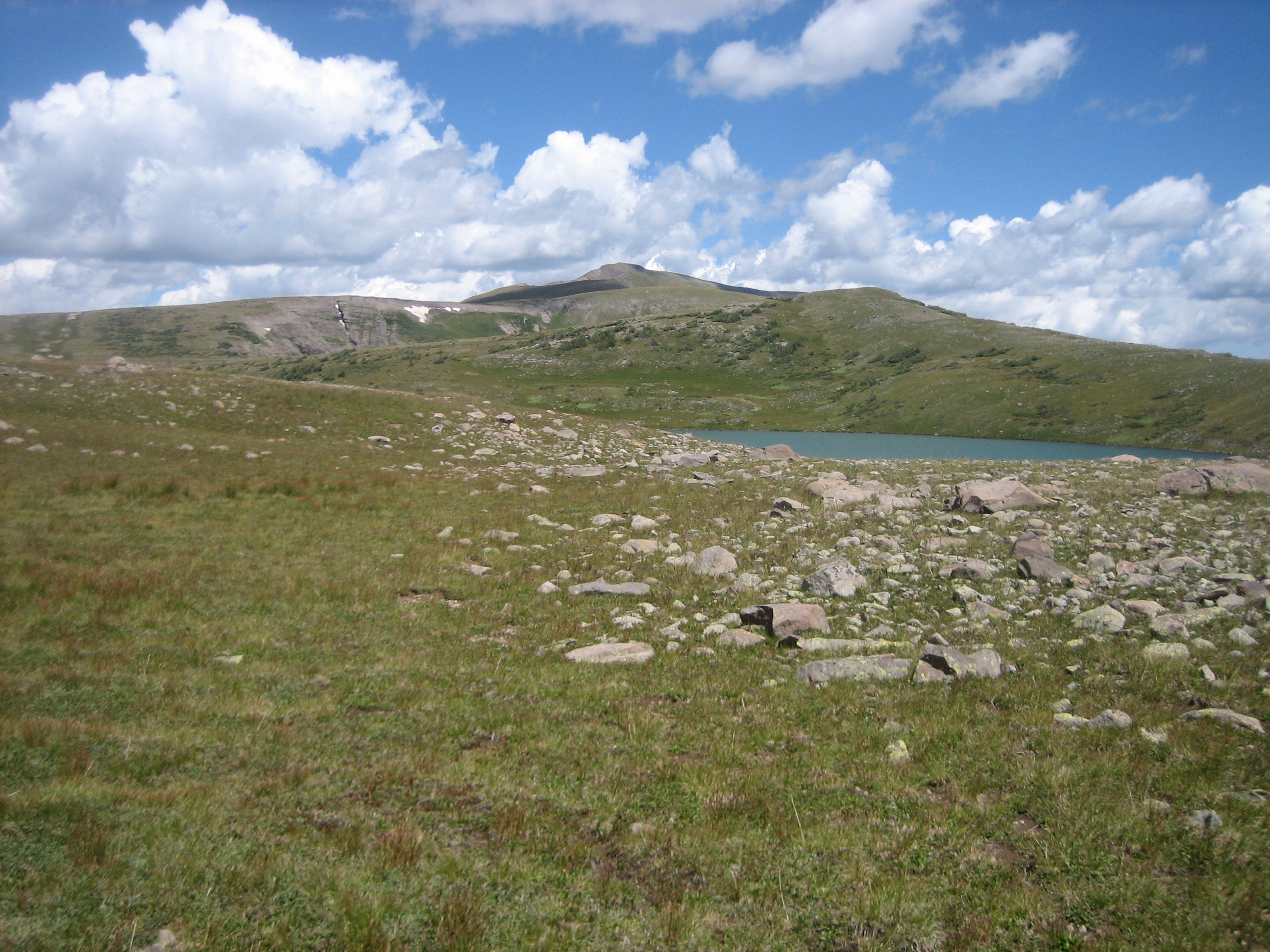
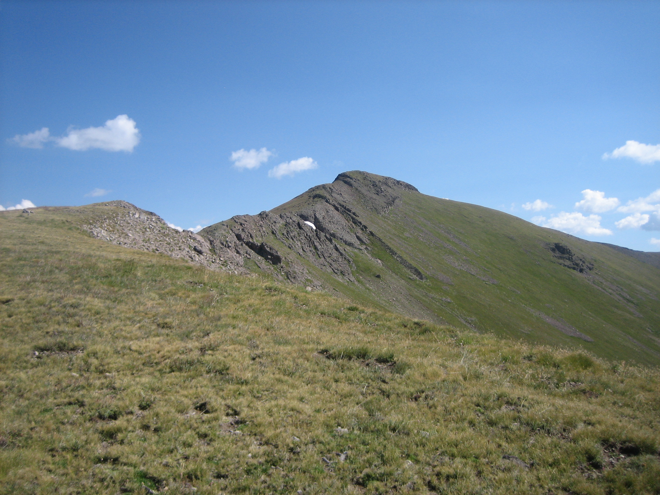
On our fifth day we hiked up to Conejos Peak. We scrambled up one of the chutes and enjoyed a good part of the day above 12,000 feet. Looking down from the chute was Twin Lakes (video). Higher up was another panorama (video) of the wilderness. Below us were some of the small lakes near Hansen Creek. Above us was Conejos Peak. On the shoulder was a small alpine like. We descended the chute back to Twin Lakes and set out to explore the shelf above Hansen Creek. Being afternoon in the Colorado monsoon season, we got back to camp in time for the afternoon thunderstorm (video).
On Day 6 we hiked to Bear Lake. We took the Rincon Trail (video) for almost 3 miles looking for a trail marked as the Conejos Trail on the old topos. We hiked as far as the drop off and could see the upper cirque that holds Tobacco Lake. With some difficulty we found some intermittent treads but mostly went cross country over the alpine. If we weren't looking for the old Conejos trail, I would have just set some waypoints or bearings and ignored any paths in the grass. The bearings of the old trail would be fine, just make sure you don't come in too far north and hit the cliffs over Bear Lake. Following the general route of the old trail, we worked our way southeast along the contour, crossed high over the drainage, worked out way down the nose and then went north along the foot of the hill until we reached the Bear Lake Cut-off Trail. The east side of the lake was in the woods and had a good campsite. The other sides were rocky and steep and not suitable for camping.
The following day we headed back to the South Fork Trailhead. We took the Bear Lake Cut-off to the Roaring Gulch Trail, about 2.3 miles. We turned southeast for about 3 miles to the junction of the South Fork Trail and then an easy mile back to the parking lot.
Info: USGS 7.5 minute Quadrangles: Summit Peak, Platoro, Red Mountain, Elephant Head Rock, Victoria Lake, and Spectacle Lake. Rio Grande National Forest, 1803 W. Highway 160, Monte Vista, CO 81144, Telephone: 719-852-5941..
Directions: From Antonito CO take Highway 17 west for 22.5 miles. Turn right on Forest Road 250, a gravel road marked with a sign for Platoro. Go north 11 miles to the South Fork Trailhead.
To Buy Maps: Currently I don't make this map. However, maps of the Blue Lake and Conejos hikes are available on weatherproof paper for $5 each ($10 for the set) plus S&H by emailing Charlie at cew5151@gmail.com (copy and paste in your email).