
Ozark Highlands Trail-Sylamore Section, Ozark Mountains, AR
Free downloadable topo maps of OHT Sylamore.
Printed maps are also available for purchase.
The OHT Sylamore Section is situated in the Ozark Mountains of Arkansas generally near the confluence of the Buffalo and White Rivers. It is 32 miles running from the Spring Creek Trailhead to Matney Knob. It seems isolated from the rest of the OHT until looked at in the overall plan for a Trans-Ozark Trail. The TOT is proposed as a 700 mile trail that connects the Ozark Highlands and eastern Buffalo River Trails of Arkansas with the Ozark Trail of Missouri.
The original OHT begins at Lake Fort Smith on the west side of Arkansas and goes 165 miles east to Woolum on the Buffalo River. There it continues east as the combined OHT-east Buffalo River trail to Hwy 65. There are some incomplete section of the BRT until the Maumee section of the BRT. Then it stops at Dillard Ferry at Hwy 14. Seven miles to the east as the crow flies is the Spring Creek Trailhead of the OHT-Sylamore section. The hope is to put a trail through the Lower Buffalo Wilderness to connect the Maumee and Sylamore sections, but as a designated wilderness, there are many hurdles.
To continue with the Trans-Ozark plan, there are several segments in various stages of completion or permitting between Matney Knob and the Missouri Border. There are also sections in Missouri in various stages of development to connect with the existing Ozark Trail terminus at Collins Ridge Trailhead, south of the Ridge Runner Trail.
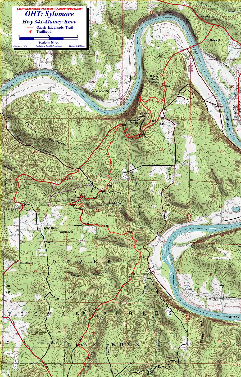
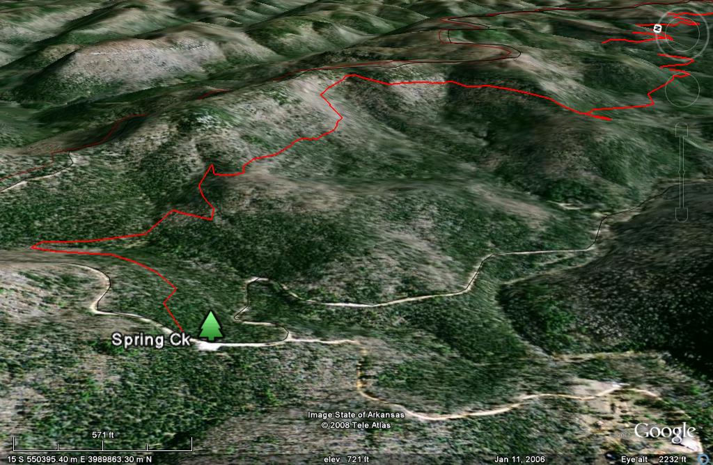
The Maps: There are five FREE maps available on this page as downloadable jpgs. The first map is the area map of the entire Sylamore section with the trail shown in red. Also shown is the North Sylamore Creek Trail, in blue, and selected roads. This map is supplied to assist with your trip planning and is not available for sale. It is 16mb so the download may be slow.
The other 4 maps are ready-to-print maps of the individual trail sections and are formatted to print on 11x17 paper. They are also available for sale printed in color on 11x17, "Rite in the Rain” all weather writing paper for $5 per sheet plus S&H by emailing Charlie at cew5151@gmail.com. They are nominal 1:24,000 based on USGS 7.5 minute quadrangle topographic maps. Other features include trailheads, segment mileage and waypoints.
GPS File: Right click this link to download the track in a gpx format. Save it to your computer and use your GPS software to load it to your GPS.
Google Earth Track: Right click this link to download the track in the Google Earth kml format and trace the route in interactive 3D. Save it to your computer and open it with Google Earth.
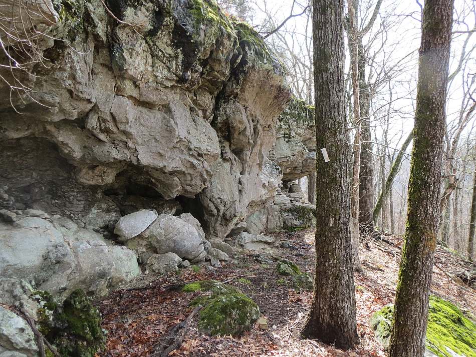
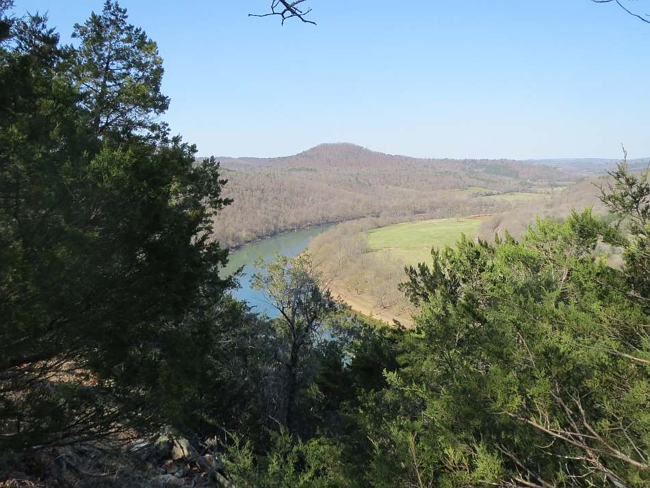
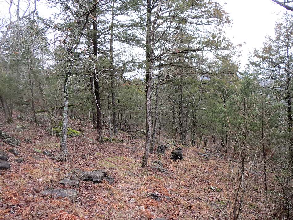
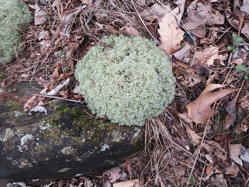
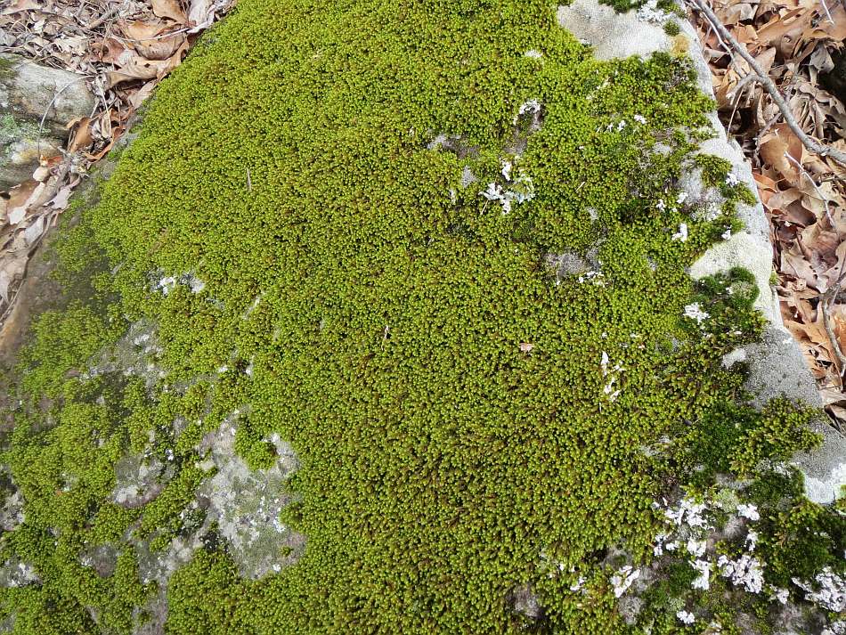
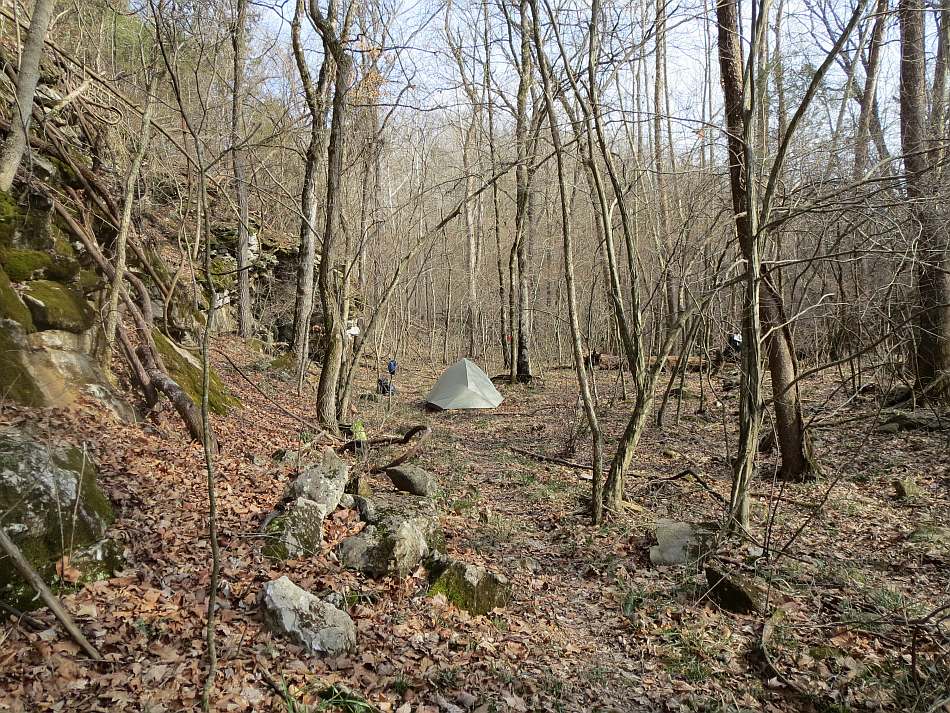
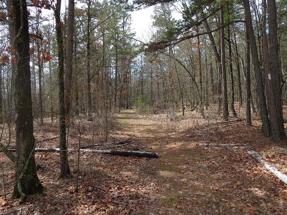
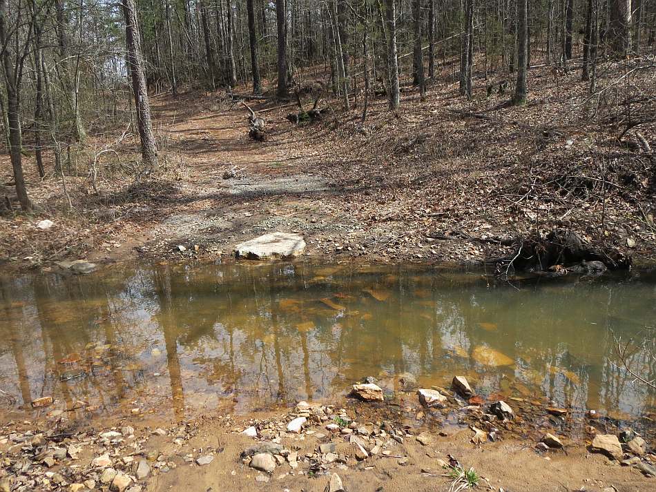
Spring Ck-Moccasin Ck Map: The trail begins at the Spring Creek Trailhead on the very west side of the Spring Ck-Moccasin Ck map. It is accessed by the Spring Creek Road from Big Flat and Highway 14. We were in early spring so it was still leaf-off. The greens were restricted to the pines, reindeer lichen, cactus and some forest moss clinging to the rocks. The trail follows the base (video) of the escarpment north of Spring Creek for about 7 miles when it drops down to the creek. A 7.8 miles, the OHT crosses Spring Creek. The stream had plenty of flow but easy to cross. We found a good campsite.
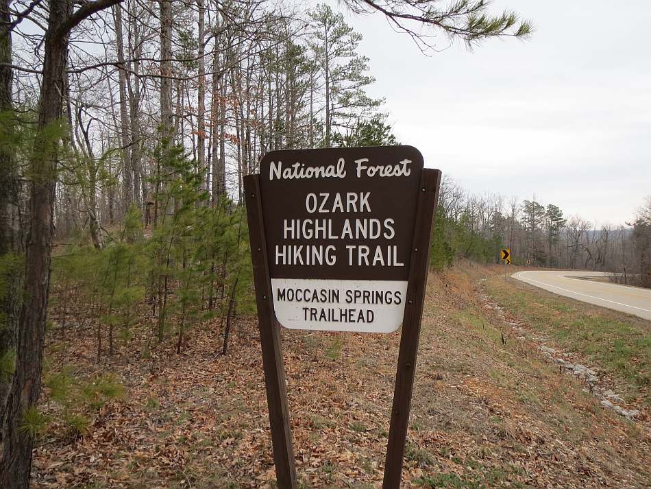
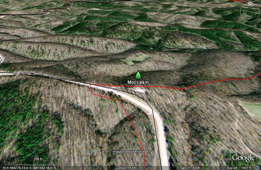
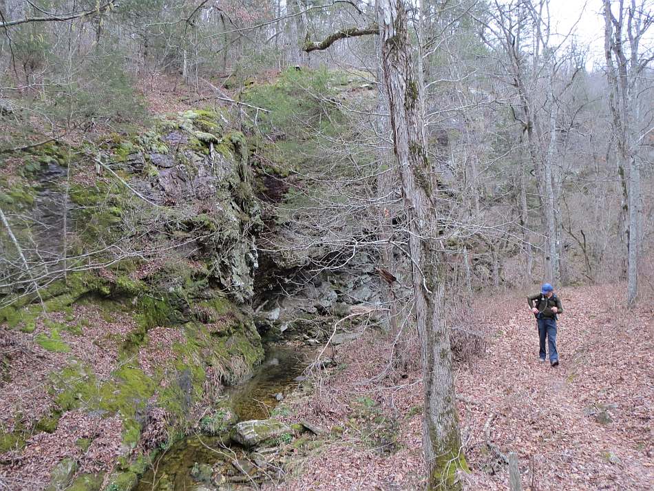
The OHT crosses AR Hwy 341 at about 9 miles. Across the highway is the Moccasin Springs Trailhead. About a half mile past the trailhead, the trail enters a bluff-lined hollow (video) of one of the Cap Fork tributaries.
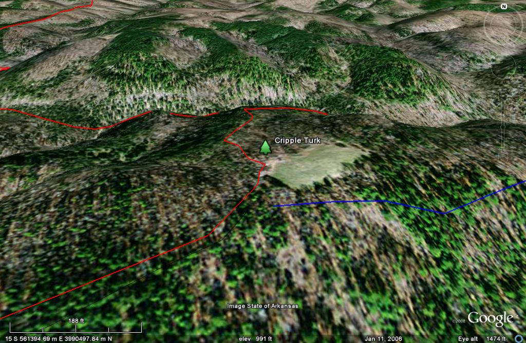
Cripple Turkey Map: In the Cap Fork Hollow the trail crosses to the Cripple Turkey Map. The passage through the hollow is about 0.6 miles, crossing the tributary (video) many times. Then it climbs out of the valley floor, turns southeast and follows the side of Cab Fork for about 0.3 miles. At about 10.2 miles the OHT cross Cap fork and climbs to the ridge and crosses Cap Fork road. It drops right back down into Bee Branch, climbs the other side and starts north on a ridge. In a few tenths it passes the 12 mile marker and in another 0.4 crosses Barkshed Road. The trail will run in the woods, parallel to Barkshed for 0.3 miles and then come out on Cripple Turkey Road just before mile 13.
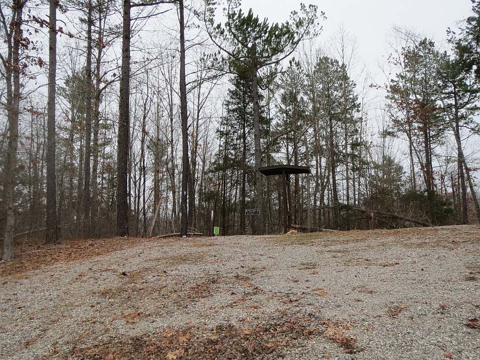
You will be on the Cripple Turkey Road another 0.6 miles when you pass the Cripple Turkey Trailhead. It is a gravel parking lot and also the north trailhead for the North Sylamore Creek Trail (shown in blue). North Sylamore is beautiful hike featuring a crystal clear stream and massive sandstone bluffs.
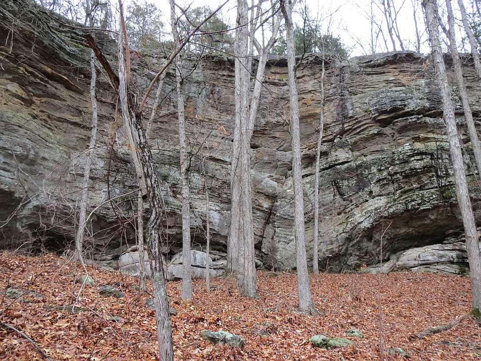
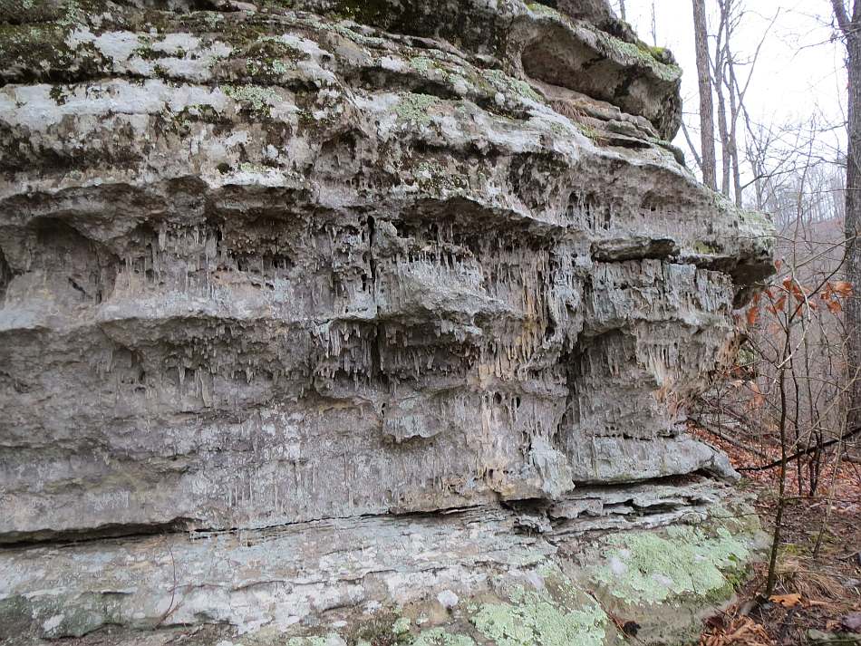
The OHT continues NW from the trailhead, and descends into Birmingham Hollow passing some interesting formations. After following the creek for 0.7 miles it climbs the nose of the west ridge of the hollow.
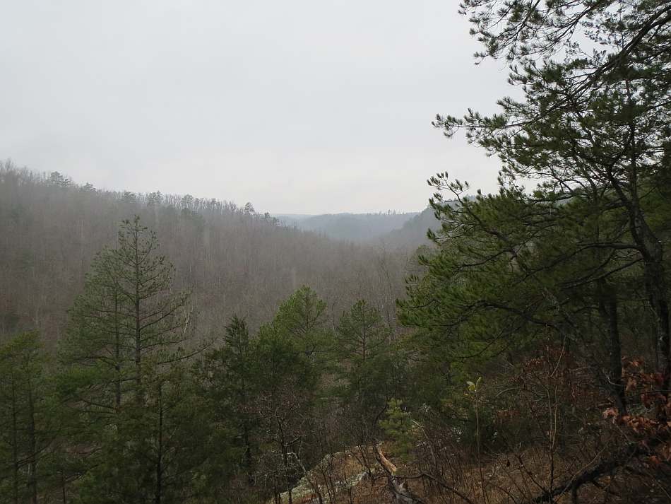
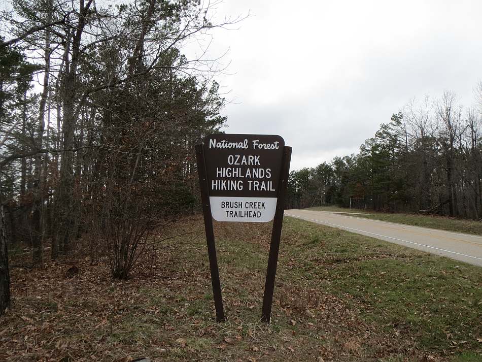
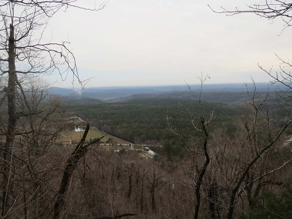
Brush Ck-Hwy 341 Map: Near the top of the ridge is a view and mile 15. Staying on the ridge, the OHT will soon join Birmingham Road and stay on the ridge another 1.4 miles. Just after the clearing on your right (east), the trail separates from Birmingham Road and start a gradual descent to the east, down the slope into Birmingham Hollow. About 0.6 miles further is mile 17. By about mile 17.2 you are on the floor of the hollow and at mile 17.4 you are starting the climb out of the hollow. The trail stays on the ridge until mile 18 and the Brush Creek TH.
The trail crosses AR Hwy 341. For the next 2.4 miles it stays on a ridge paralleling Advance Road (aka Brush Creek Road) and the Leatherwood Wilderness boundary. At about mile 20.5 the trail continues north on a forest road while Advance Road and the wilderness boundary go west. It stays on the forest road for 0.2 miles and then the path becomes single track. The OHT stays on or near the top of the ridge until mile 21.8 when Hwy 341 comes into view. It switch-backs past mile 22 to the highway. Across the highway the trail is on level ground with the hollow of Twin Creek below to the east.
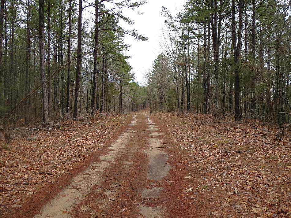
Hwy 341-Matney Knob: The trail stays on high ground with Twin Creek below to the east for about 3 miles. Crossing onto the map, the first marker is mile 23. At about 23.2 the trail starts to turn west and at 22.4 it joins Twin Creek Road. Turn right and follow the road for 2 miles. The road is good enough for a car up to about mile 24.8. Just after crossing a clearing it narrows and starts to get rough.
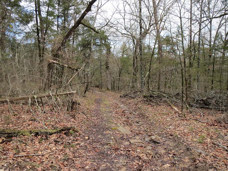
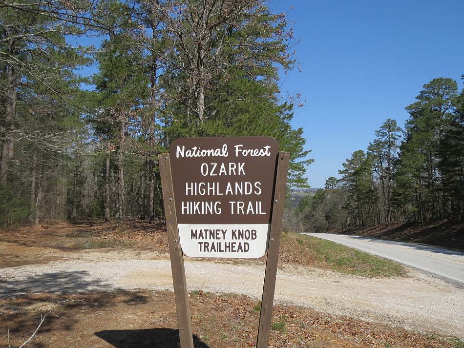
The OHT drops into Flower Creek, climbs another ridge, turns west and passes mile marker 25. The next half mile it a pleasant trail; level and smooth. Then it joins a forest road. At about mile 27, the trail crosses a creek and then turns northeast away from the forest road. After a couple of tenths the trail rejoins the road you were on at the creek crossing. Now it is downhill to Rough Hollow. We were about done for the day and found a nice place to camp in Rough Hollow. The water was good. After climbing out of Rough Hollow the trail passes mile marker 38, cross a ridge and a forest road and drops into another hollow. Staying on the hillside it finally climbs to Hwy 341 at about mile 29.6. Across the road, the OHT contours the lower part of Matney Knob right above 341. Just pass mile marker 30 it intersects the Matney Knob road, follows it up hill a few hundred feet and then leaves the road to the east. After wrapping around the east side of the knob the trail comes to a bluff overlooking the White River. Another 0.7 miles bring you to the Matney Knob Trailhead on Highway 341.Direction to OHT Sylamore Trail:
Access is mostly by Highway 341. Matney Knob trailhead on 341 is about one mile south of the bridge over the White River north of Norfolk. Ten miles further on 341 is the Twin Creek TH. 18 miles from Matney Knob is the Brush Creek TH and Moccasin Creek TH is 31 miles past Matney. To get to Cripple Turkey, go 19 miles south of 341 from Matney Knob, east on Barkshed Road for 2 miles and left on Cripple Turkey Road for 0.9 miles. Spring Creek Trailhead is access by taking the Spring Creek Road 5.9 miles north-west from Big Flat AR. Big Flat is on Hwy 14, 3.8 miles west of the intersection with Hwy 341.
Info: Ozark-St. Francis National Forests, Russellville, AR, (479) 964-7200. Sylamore Ranger District, Mountain View, AR, Phone: (870) 269-3228.
Free Maps. Click on the map images and it will load a full size, 1:24,000 scale version on you browser. It is sized to 11 x 17 inches. Download it and print it on you own computer.
To Buy Maps: The entire trail is on four maps. Color, 11x17 maps on weatherproof paper are available for $5 each ($20 for the set) plus S&H by emailing Charlie at cew5151@gmail.com (copy and paste in your email).